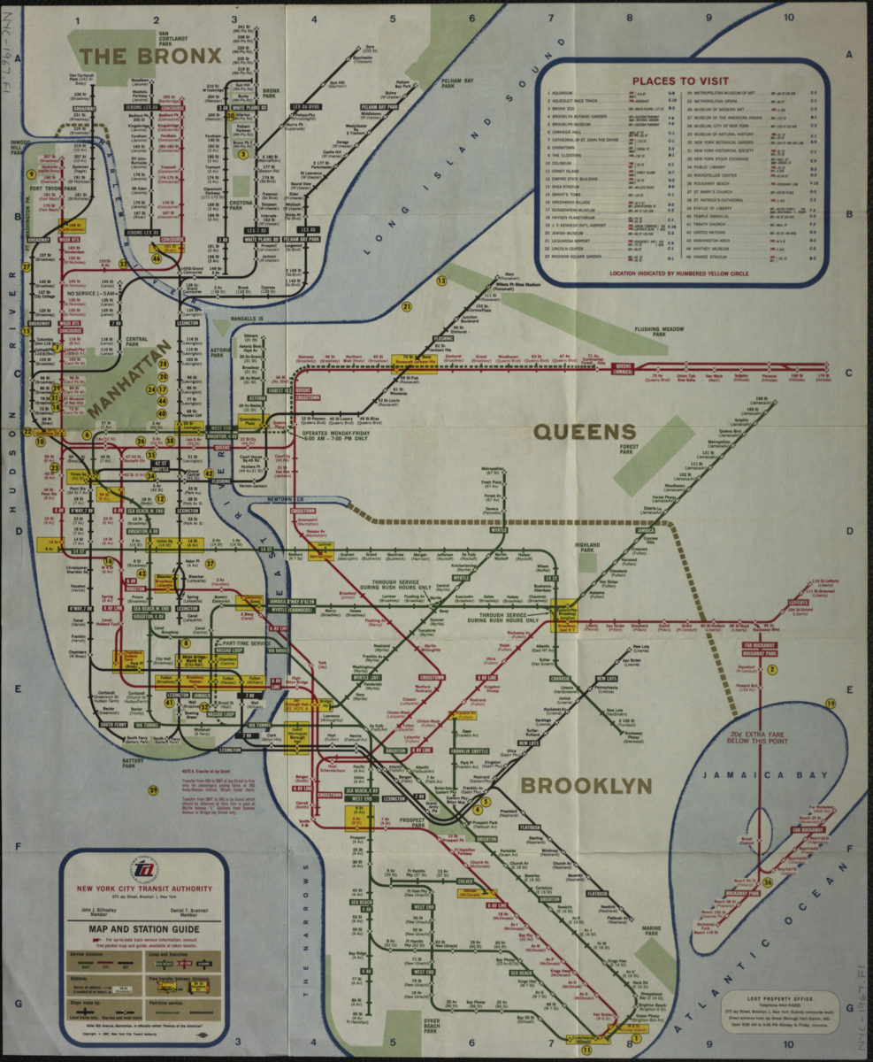
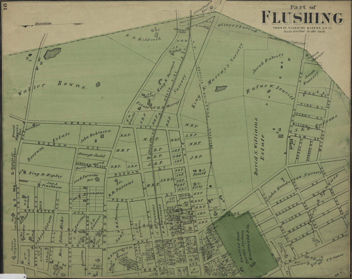
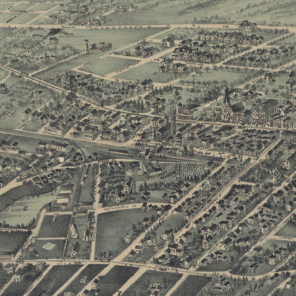
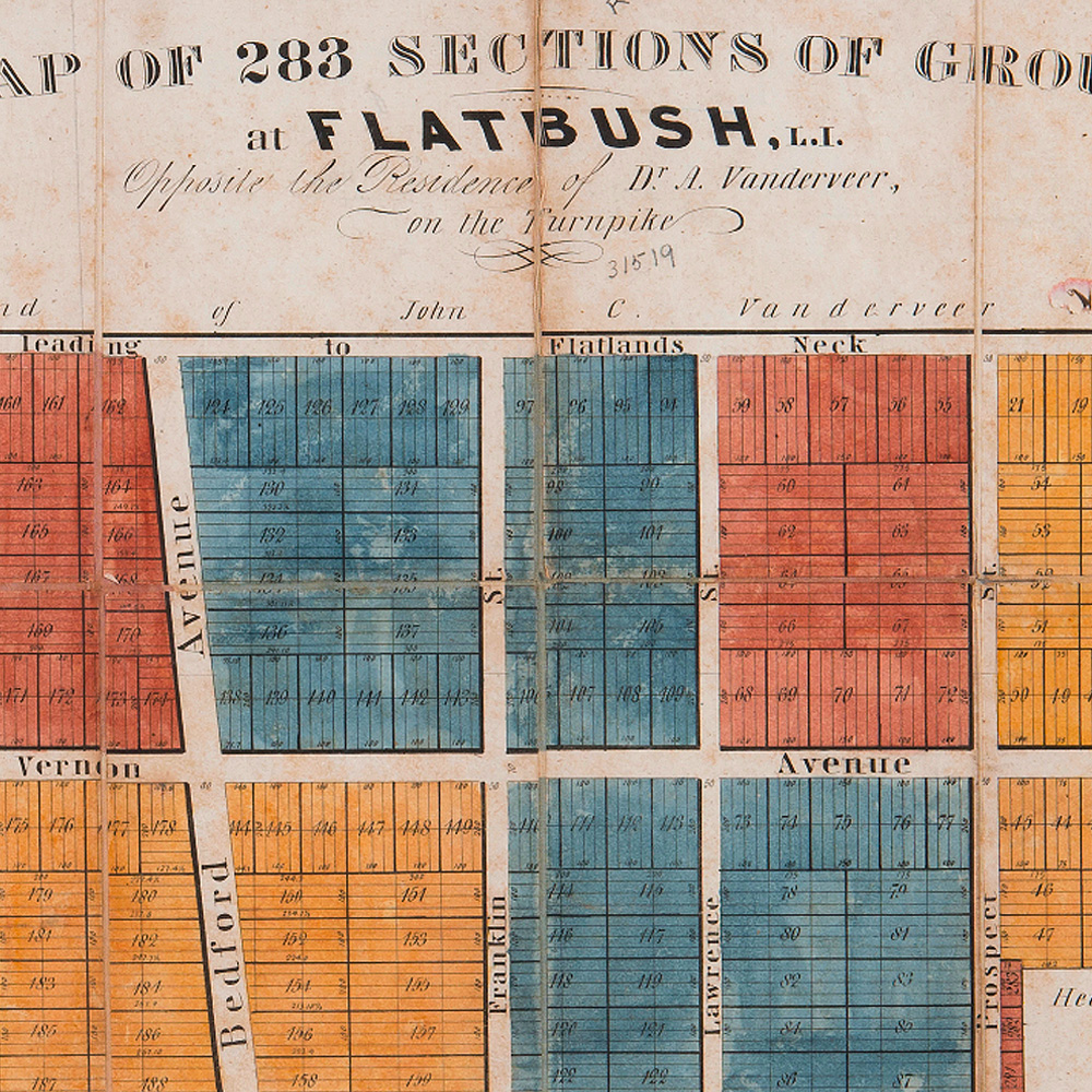
Jamaica, Long Island, N.Y., [ca. 1895]
Map of 283 sections of ground at Flatbush, L.I., opposite the residence of Dr. A Vanderveer, on the Turnpike: surveyed by Rosewell Graves, Jr., city surveyor, Brooklyn, June, 1835, [1835]
A map of a tract of land called the Nyash Patent, lying within the limits of the town of New Utrecht in the county of Kings, surveyed the 26th day of May 1804 and protracted according to the magnetical meridian by a scale of eight chains to an inch, [1918]
Plan of the village of Brooklyn and part of Long Island 1766, [1864]
Plan showing present & proposed boundaries of Prospect Park Brooklyn: Calvert Vaux, archt, [1865]
The village of Flatbush as it was in the year 1870: showing the residences and the owners thereof : compiled from old and musty records, maps and surveys: done by Catherine and E. Theo. Nelson, [ca. 1943]
Peremptory sale of valuable property in the city of Brooklyn near the Navy Yard belonging to the estate of John Jackson, decd., by Jas. Bleecker & Sons on Thursday, 25th Octr., 1838, at 12 o’clock at their sales room, 13 Broad St, 1838
BMT Lines Surface Division, Brooklyn and Queens transit system, [193?]
Brooklyn bus map, [ca. 1974]

Map Collections

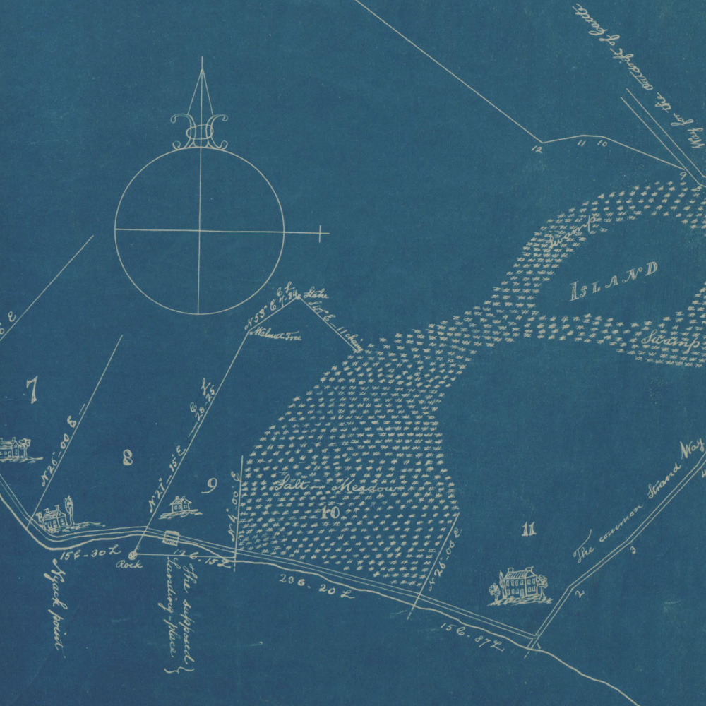
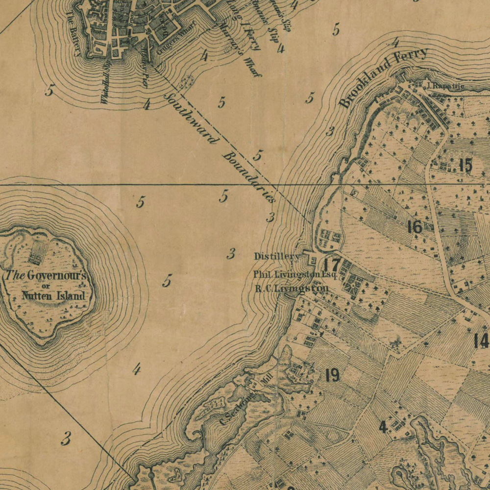
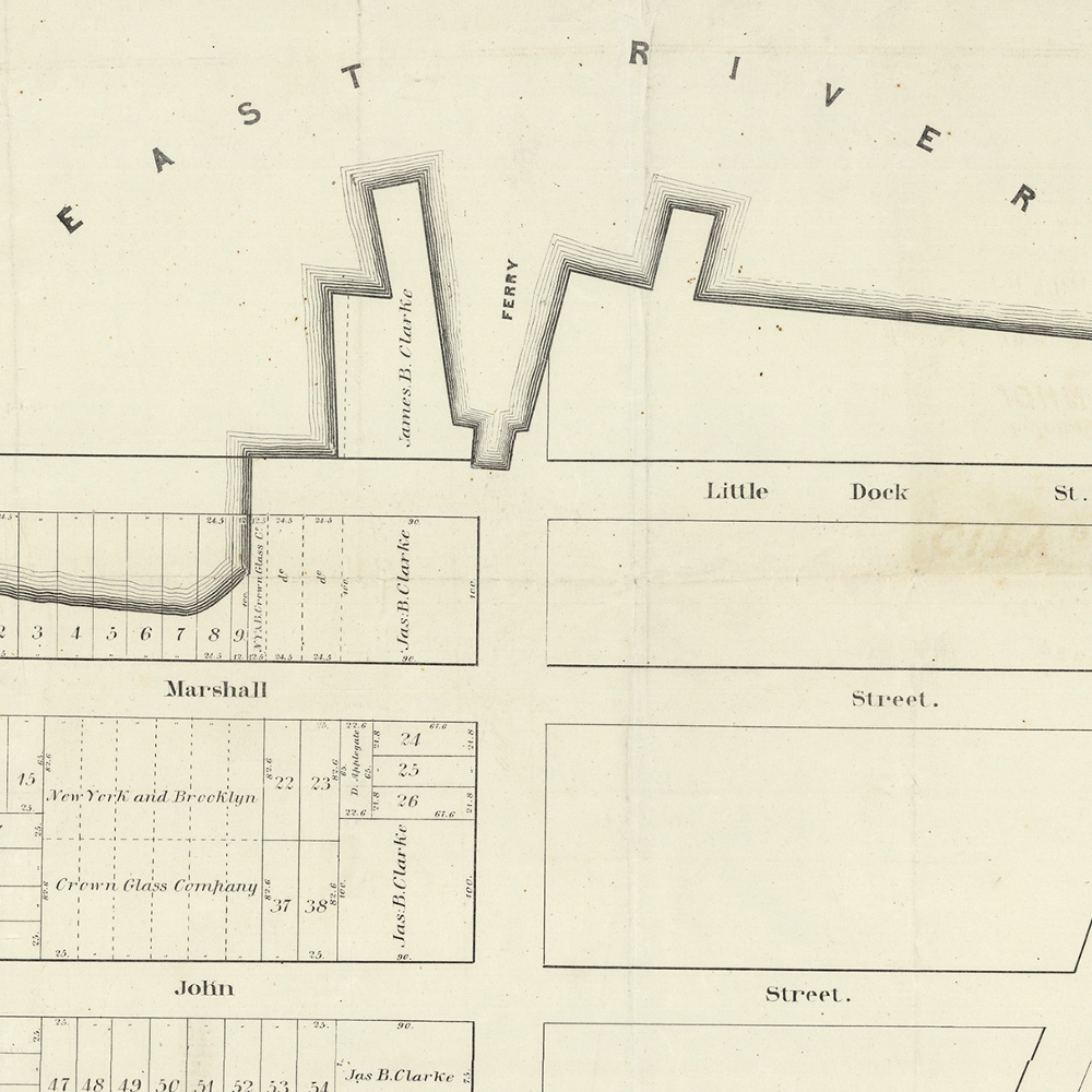
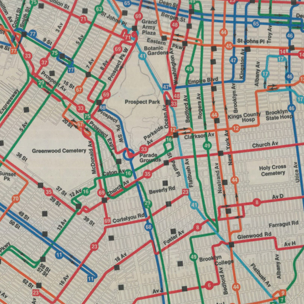
Brooklyn Historical Society’s map collections include over 1,500 maps depicting the five boroughs, New York City, Long Island, New England, and beyond. Explore digitized historical maps spanning the seventeenth century to the present online.

Explore the collection

Browse by topic—