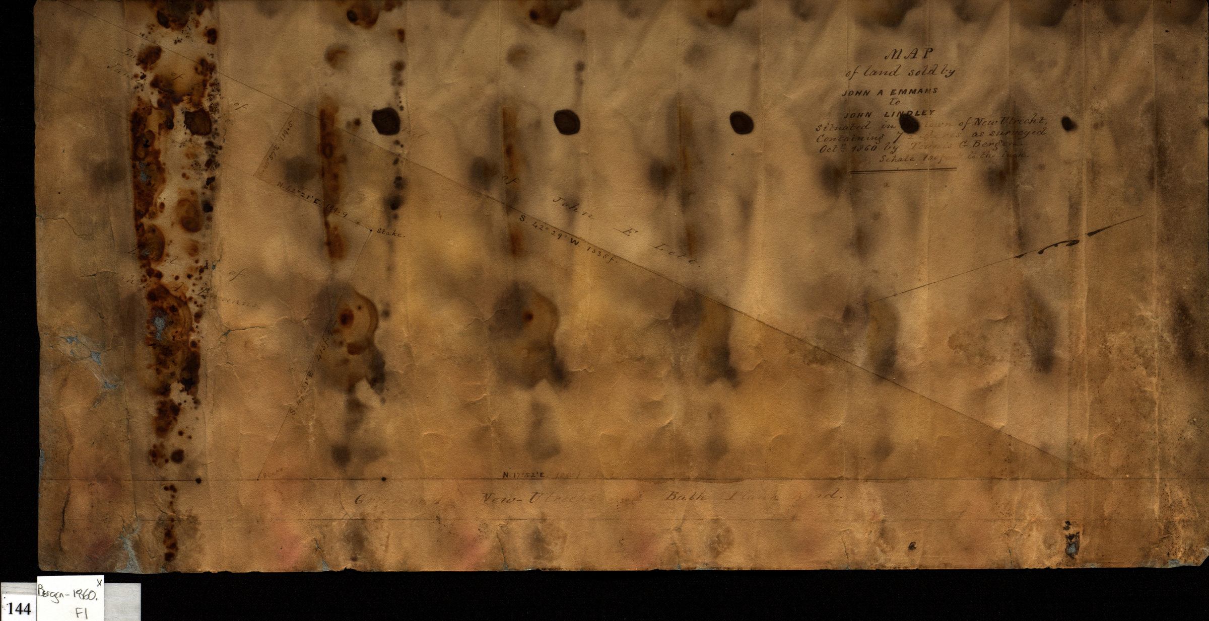
Map of land sold by John A. Emmans to John Linley situated in the town of New Utrecht, containing 7 [illegible text] acres: as surveyed Oct. 1860 by Teunis G. Bergen 1860
Map No. Bergen-1860.Fl
Cadastral survey map of area along Greenwood, New Utrecht and Bath Plank road in modern-day Bensonhurst. Shows property and names of landowners. Oriented with north to the right. Stained.
Map area shown
Relation
Full catalog recordSize
22 × 44 cmDownload
Low Resolution Image
Creator
Bergen, Teunis G.,Publisher
Brooklyn Historical SocietyCitation
Map of land sold by John A. Emmans to John Linley situated in the town of New Utrecht, containing 7 [illegible text] acres: as surveyed Oct. 1860 by Teunis G. Bergen; 1860, Map Collection, Bergen-1860.Fl; Brooklyn Historical Society.Scale
Scale [1:1200] 1 in to 10Loading zoom image... 