Center for Brooklyn History
Map Collections
Search
About
Othmer Library & Archives
Submit search query
Refine 16 records
Clear filters
2
Location
Brooklyn (New York, N.Y.)
891
Buffalo (N.Y.)
3
Coney Island (New York, N.Y.)
22
Flushing (New York, N.Y.)
13
Gravesend (New York, N.Y.)
25
Kings County (New York, N.Y.)
8
Long Island (N.Y.)
197
Manhattan (New York, N.Y.)
120
New Jersey
27
New York (N.Y.)
164
New York Metropolitan Area
40
Queens (New York, N.Y.)
83
Subject
Buildings
12
Election districts
36
Landowners
434
Railroads, Elevated
24
Real property
619
Waterworks
5
Date
19th Century
945
or enter range:
from
to
Genres
Cadastral maps
597
Thematic maps
60
Transportation maps
120
Zoning maps
55
Sort by:
Date (earliest)
Date (most recent)
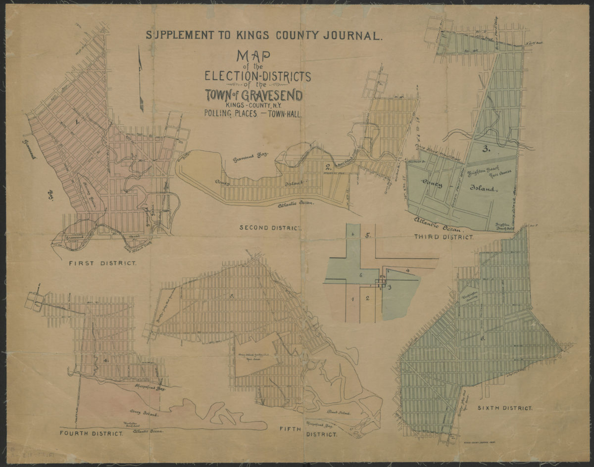
Map of the election districts of the Town of Gravesend, Kings County, N.Y., polling places, Town Hall
Map of the election districts of the Town of Gravesend, Kings County, N.Y., polling places, Town Hall
[18??]
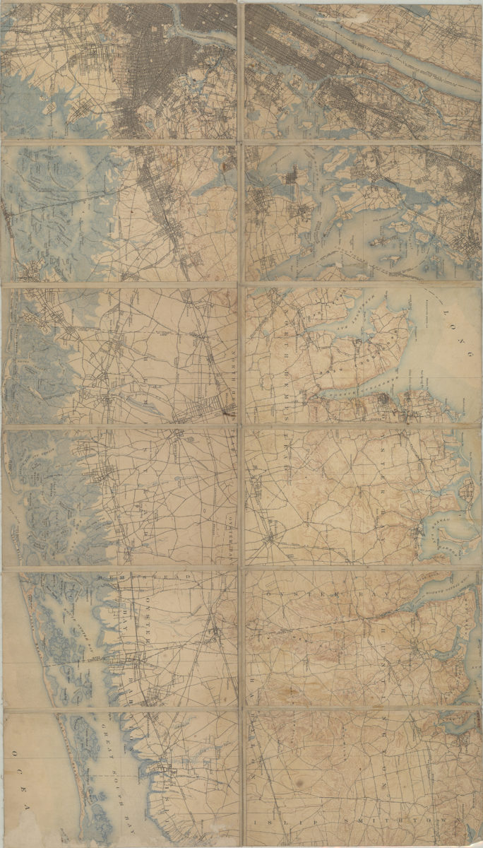
[Map of Long Island, from Greenwood Cemetery to Brentwood]
[Map of Long Island, from Greenwood Cemetery to Brentwood]
[18??]
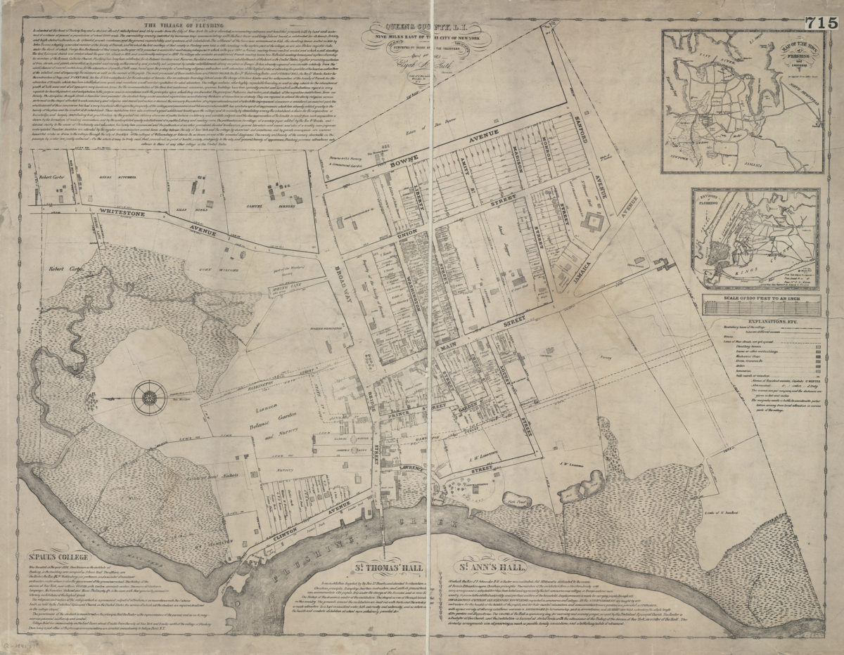
The village of Flushing, Queens County, L.I.: nine miles east of the city of New York : lat. 45° 40ʹ 1ʺN, lon. 73° 09ʹ 58ʺW: surveyed by order of the trustees, April 1st 1841, Elijah A. Smith, surveyor
The village of Flushing, Queens County, L.I.: nine miles east of the city of New York : lat. 45° 40ʹ 1ʺN, lon. 73° 09ʹ 58ʺW: surveyed by order of the trustees, April 1st 1841, Elijah A. Smith, surveyor
[1841]
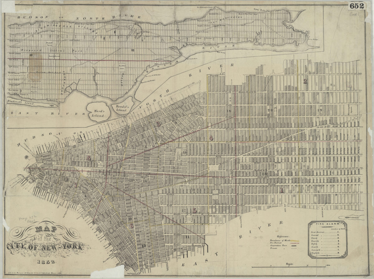
Map of the city of New York
Map of the city of New York
1852
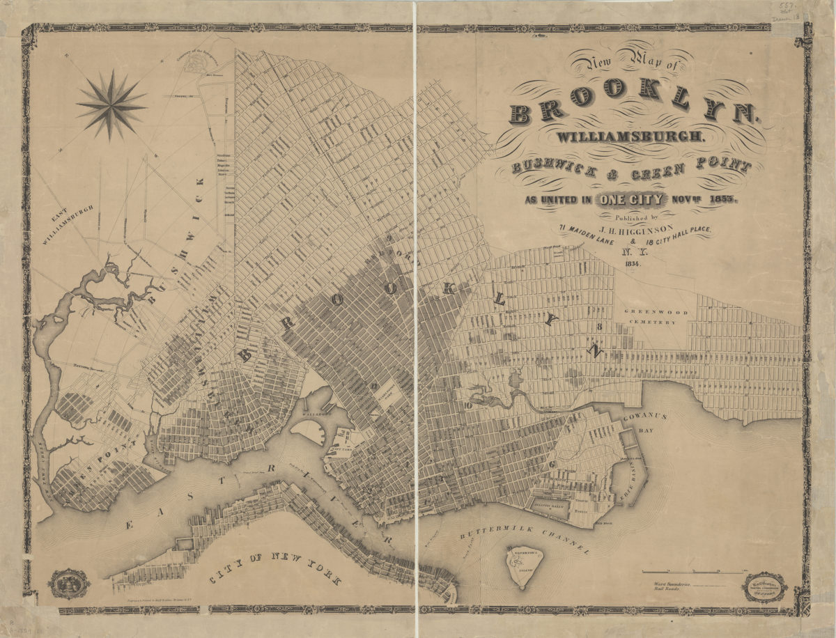
New map of Brooklyn, Williamsburgh, Bushwick & Green Point as united in one city, Novbr. 1853
New map of Brooklyn, Williamsburgh, Bushwick & Green Point as united in one city, Novbr. 1853
1854
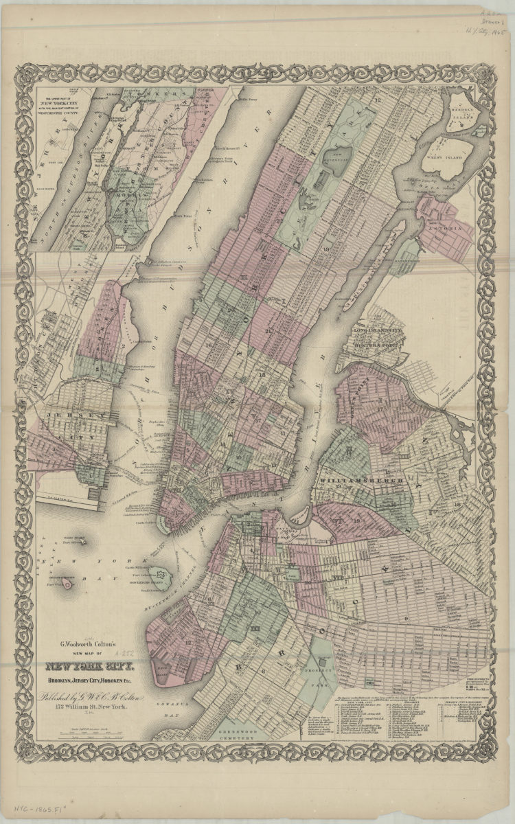
G. Woolworth Colton’s new map of York City, Brooklyn, Jersey City, Hoboken etc
G. Woolworth Colton’s new map of York City, Brooklyn, Jersey City, Hoboken etc
[ca. 1865]
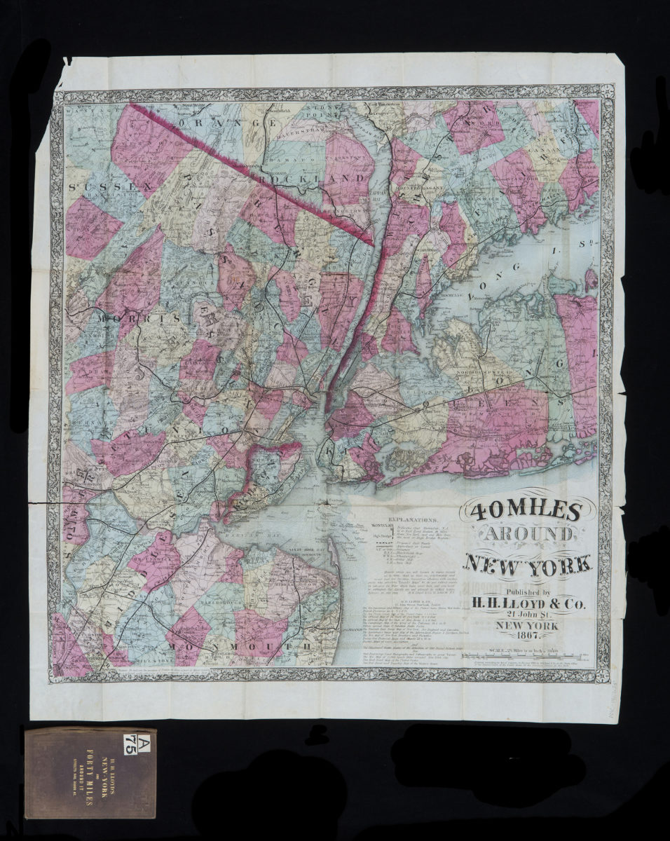
40 miles around New York
40 miles around New York
1867; [ca. 1866]
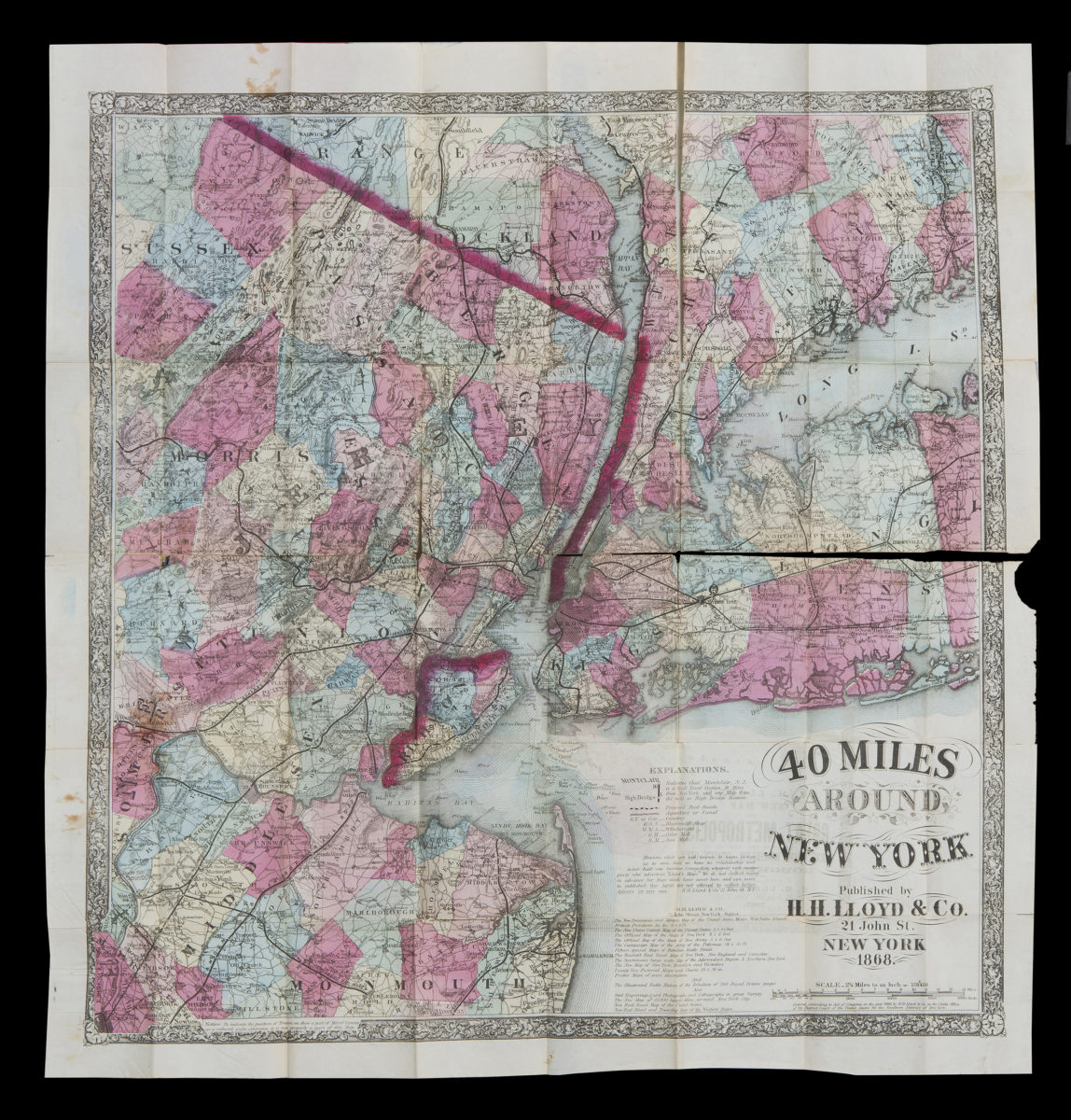
40 miles around New York
40 miles around New York
1867; [ca. 1866]
Map of the county of Kings showing the ward and town boundaries
Map of the county of Kings showing the ward and town boundaries
October 1869
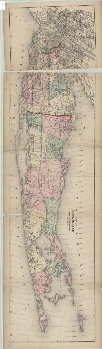
Map of Long Island
Map of Long Island
[1873]
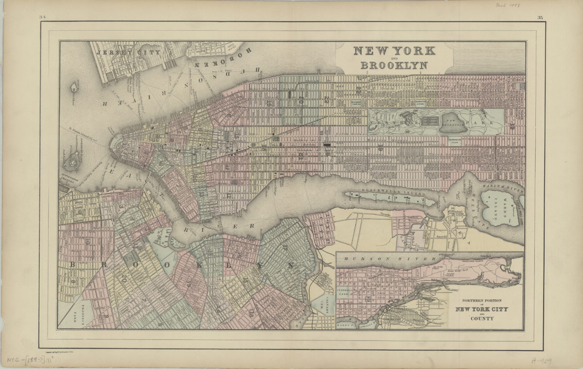
New York and Brooklyn
New York and Brooklyn
[188?]
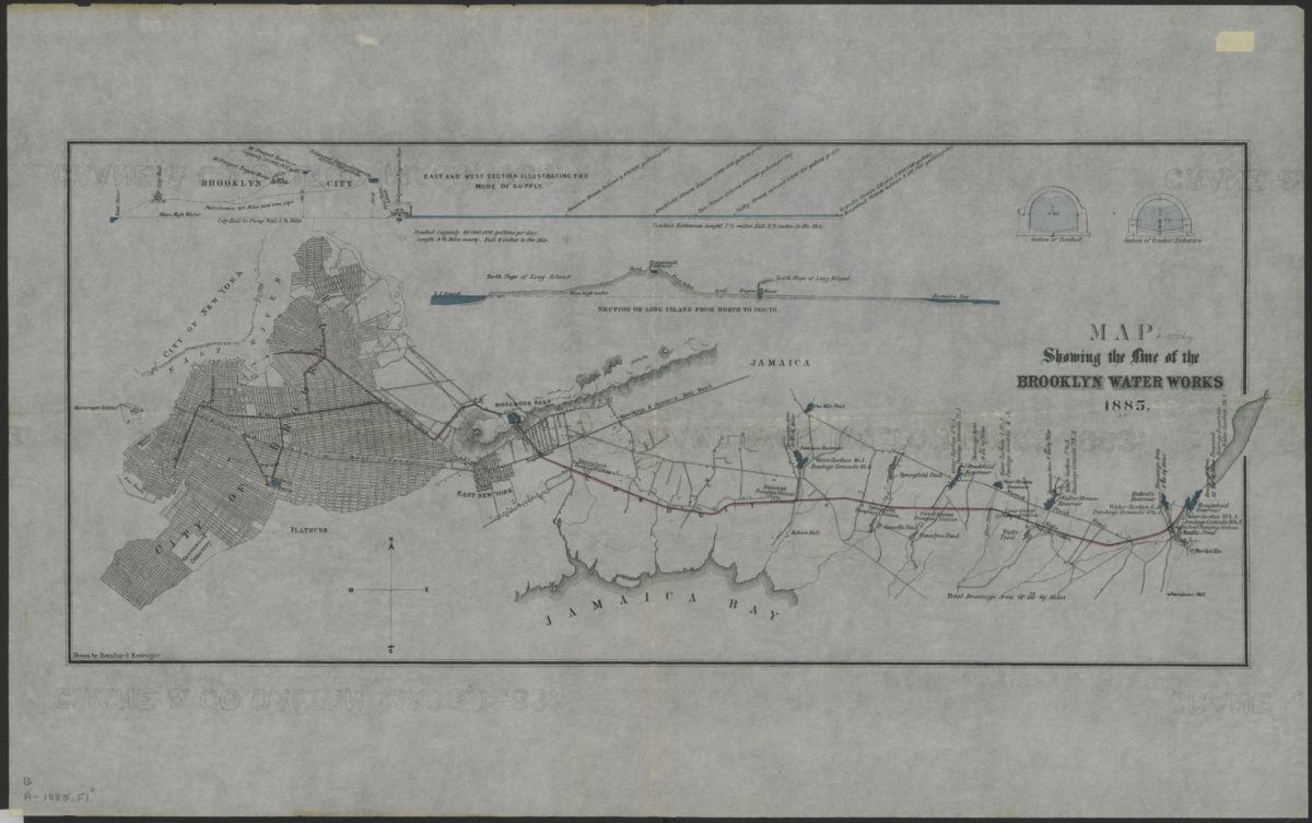
Map showing the line of the Brooklyn Water Works: drawn by Bernhard Essroger
Map showing the line of the Brooklyn Water Works: drawn by Bernhard Essroger
1885
Map of New York and vicinity
Map of New York and vicinity
[1886-1894]
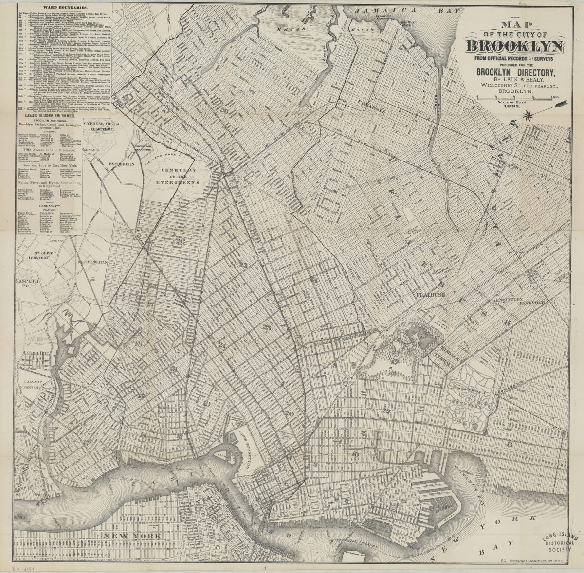
Map of the city of Brooklyn: from official records and surveys
Map of the city of Brooklyn: from official records and surveys
1893
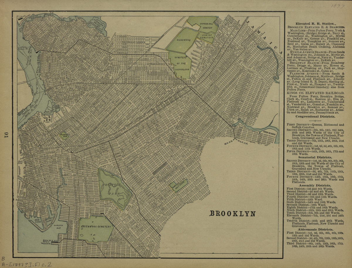
Brooklyn
Brooklyn
[1897]
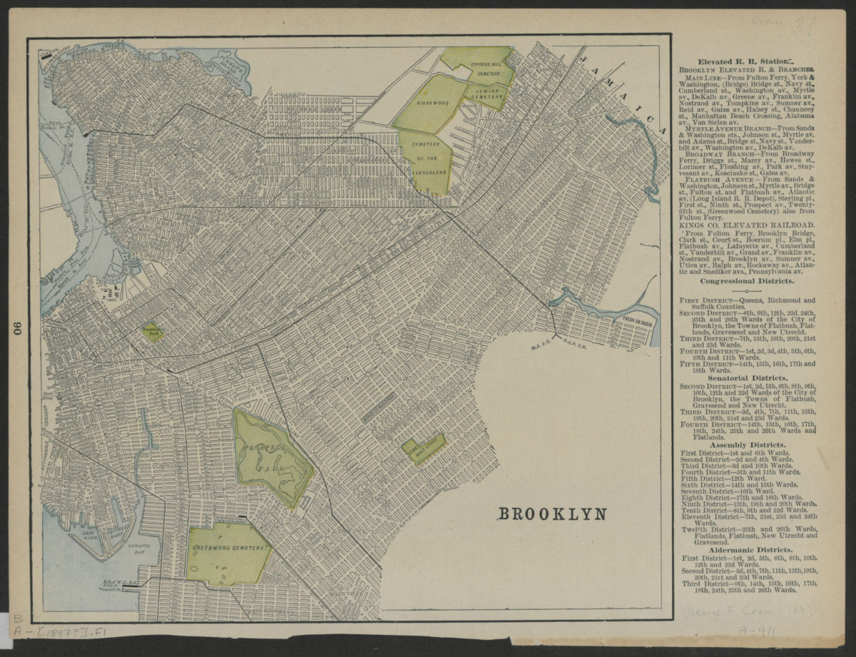
Brooklyn
Brooklyn
[1897]