Center for Brooklyn History
Map Collections
Search
About
Othmer Library & Archives
Submit search query
Refine 5 records
Clear filters
3
Location
ferries
1
Manhattan (New York, N.Y.)
120
New York (N.Y.)
164
New York Metropolitan Area
40
Subject
Local transit
63
Subways
55
Date
19th Century
945
20th Century
469
21th Century
66
or enter range:
from
to
Genres
Aerial views
15
Pictorial maps
38
Tourist maps
55
Transportation maps
120
Sort by:
Date (earliest)
Date (most recent)
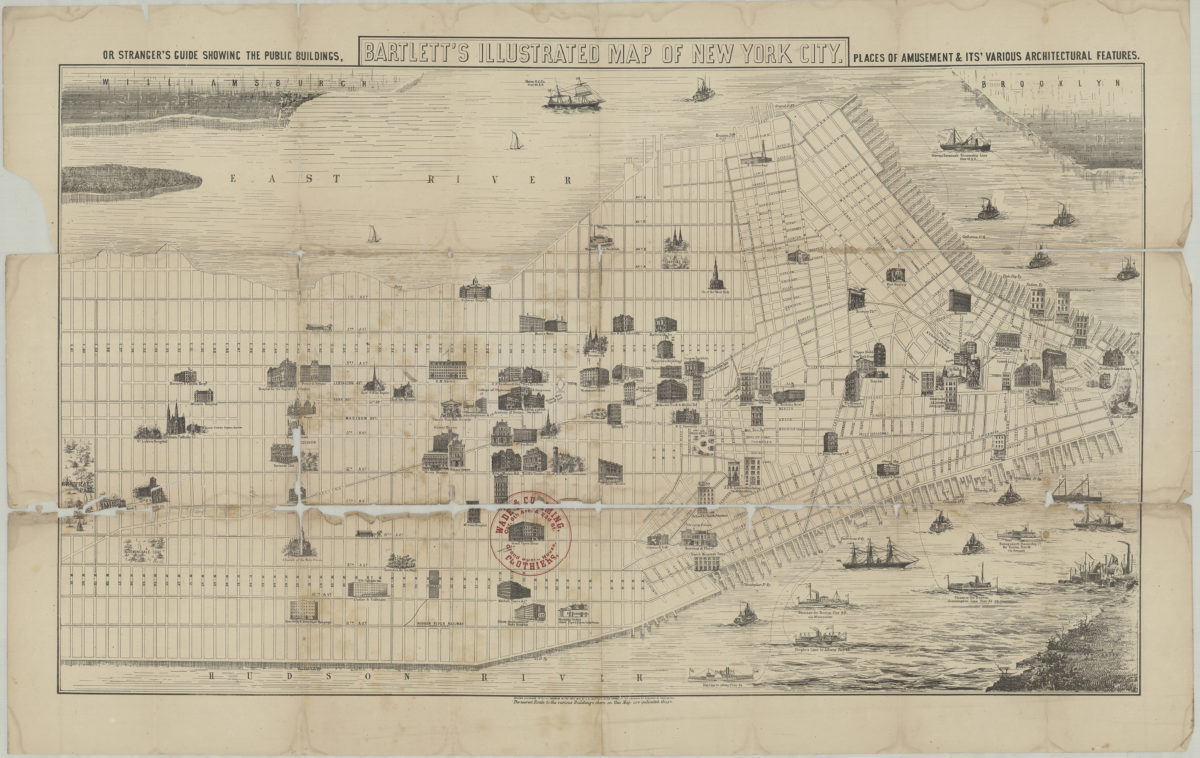
Bartlett’s illustrated map of New York City, or stranger’s guide showing the public buildings, places of amusement and its various architectural features
Bartlett’s illustrated map of New York City, or stranger’s guide showing the public buildings, places of amusement and its various architectural features
[1870]
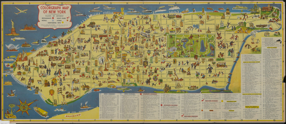
Colorgraph map of New York
Colorgraph map of New York
[ca. 1954]
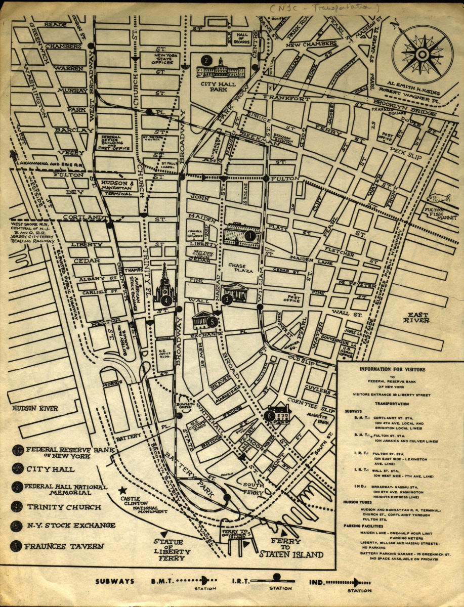
Information for visitors to Federal Reserve Bank of New York
Information for visitors to Federal Reserve Bank of New York
[1956-1966]
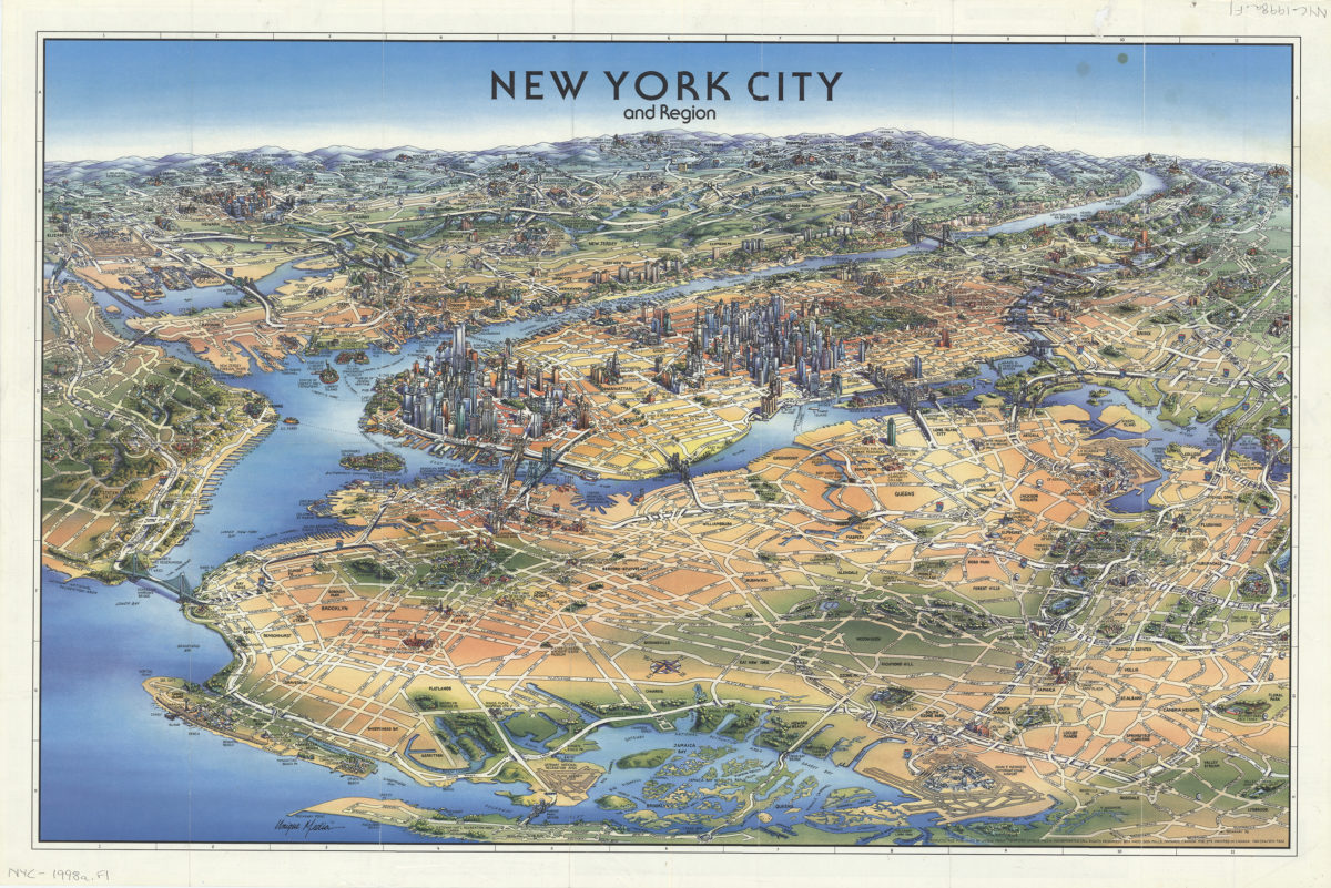
New York City and region: produced and published by Unique Media Incorporated
New York City and region: produced and published by Unique Media Incorporated
[ca. 2008]
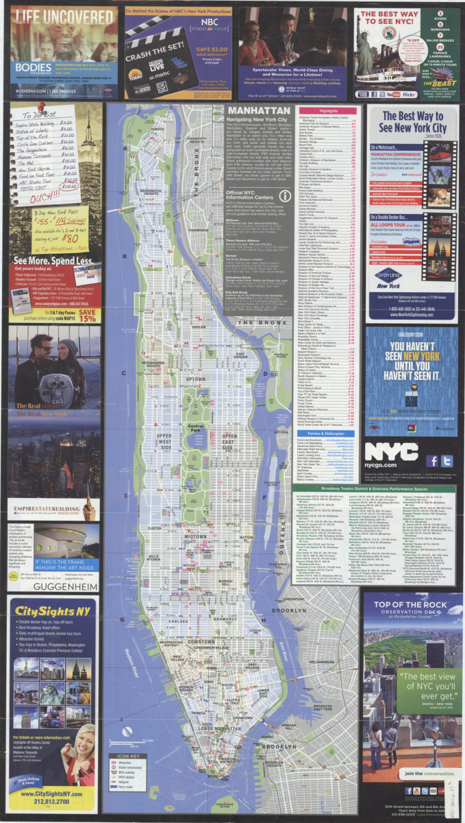
NYC official visitor map 2011: map by David Lindroth Inc
NYC official visitor map 2011: map by David Lindroth Inc
[ca. 2011]