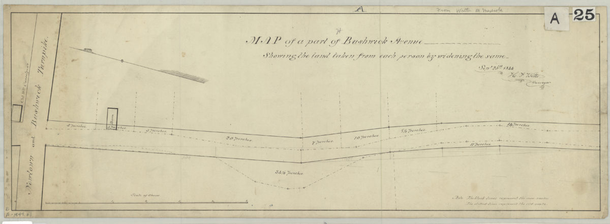
Map of a part of Bushwick Avenue, showing the land taken from each person by widening the same: [by] H.F. Betts, surveyor
September 26, 1844
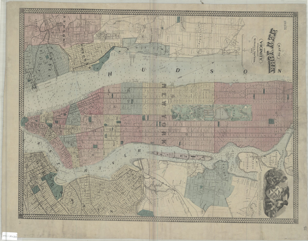
City & County map of New-York, Brooklyn, Williamsburgh, Jersey City and the adjacent waters: by J.H. Colton
1852; [ca. 1845]

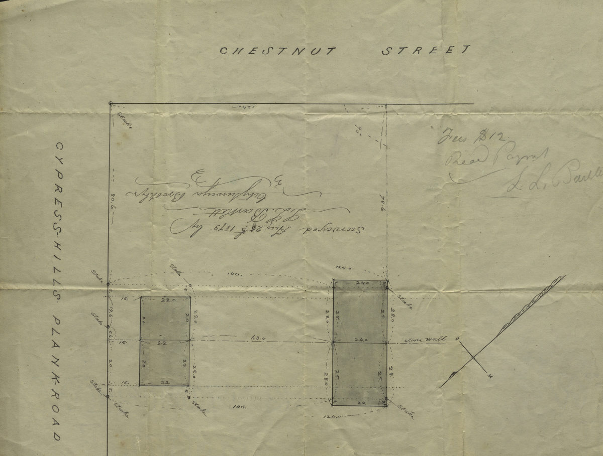
[Map of Chestnut St. and Cypress Hills Plank Road]: surveyed by L.L. Bartlett, city surveyor
August 25, 1879
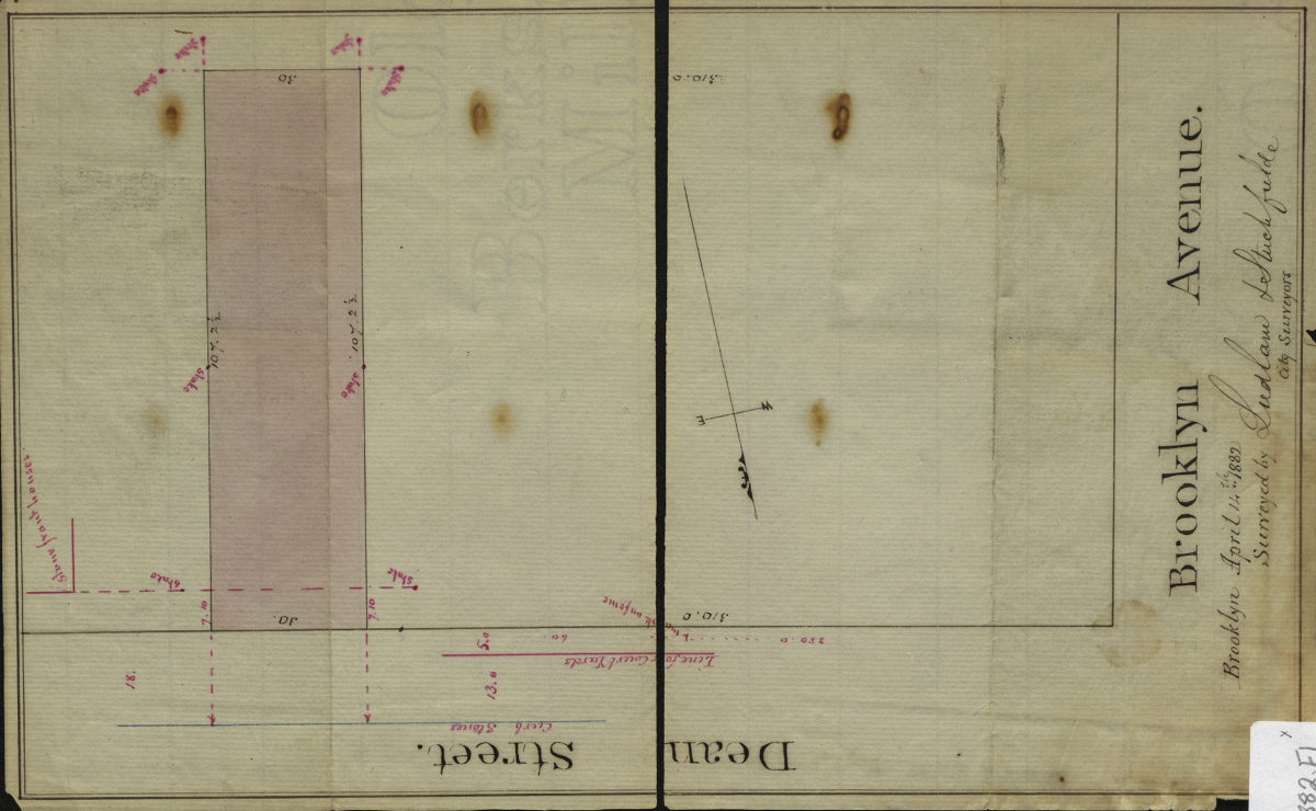
[Map of Dean St. and Brookyln Ave.]: surveyed by Ludlam & Stuchfielde [sic], city surveyors
April 14, 1882
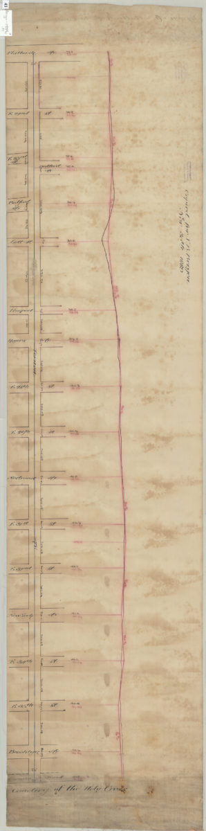
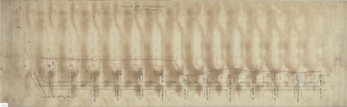
[Plan and profile of Avenue E from Flatbush Avenue to East 37th Street]: Samuel H. McElroy, C.E.
1889