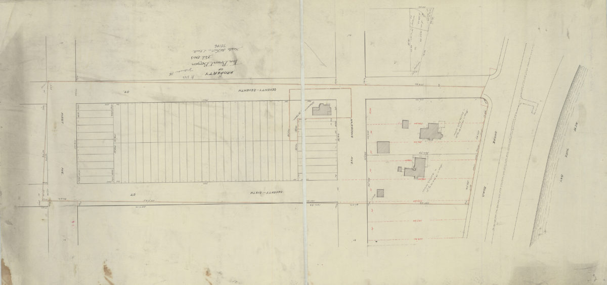
[Map of Ave. U between E. 4th St. and E. 5th St.]: surveyed … by Chas. S. Voorhies, civil eng. & city surveyor
September 1898
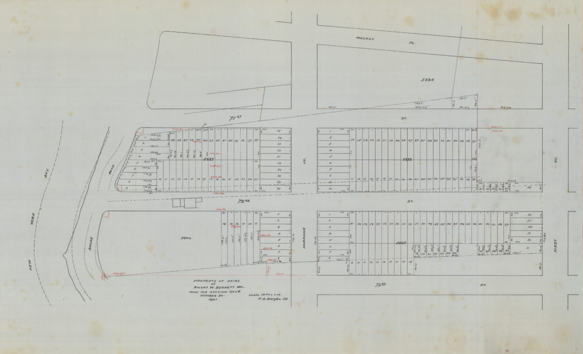
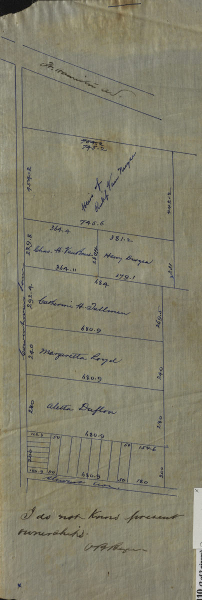
Property of heirs of Winant W. Bennett, dec., made for auction sale: V.B. Bergen, C.E.
October 30 1901

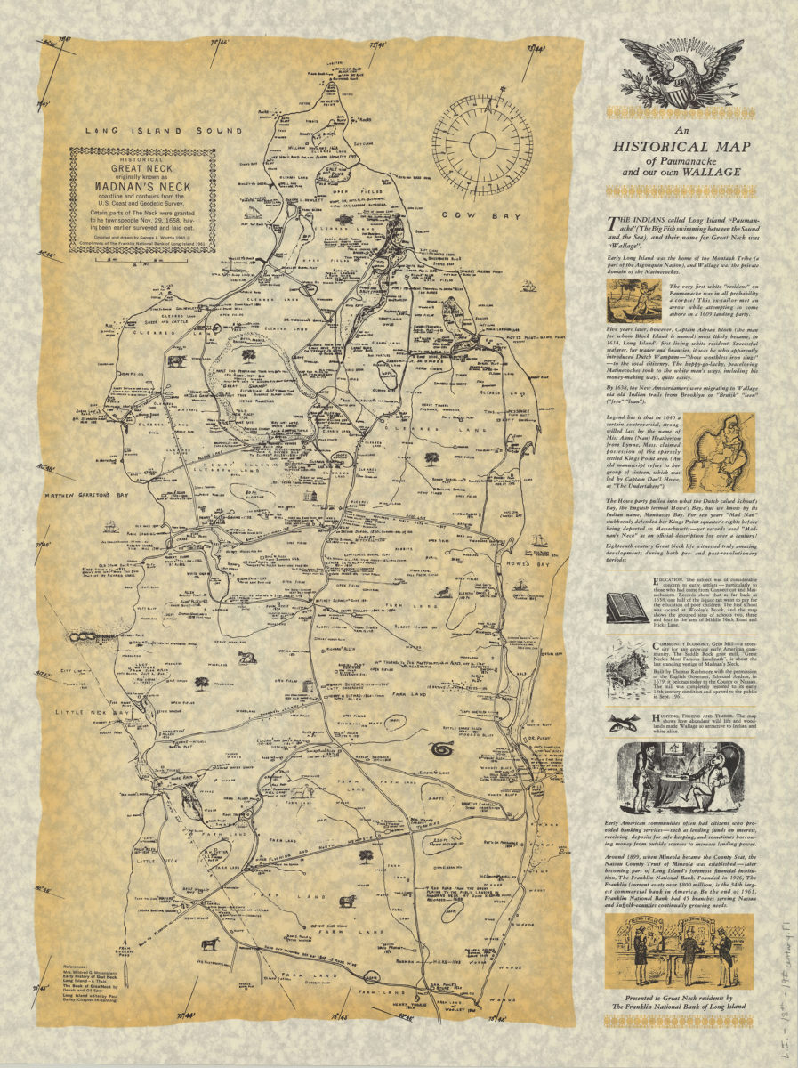
An historical map of Paumanacke and our own Wallage: compiled and drawn by George L. Whittle
[ca. 1940, 1961]
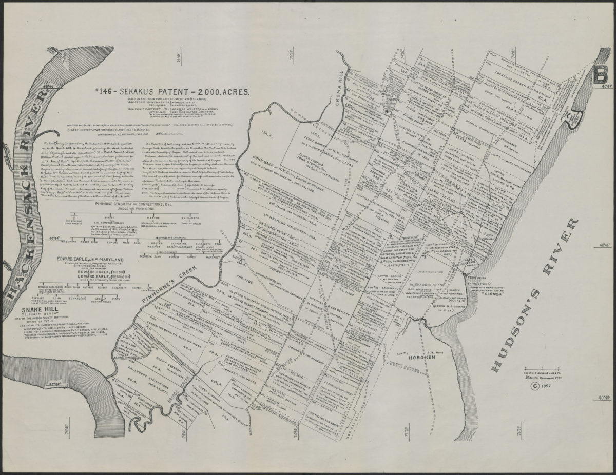
# 146: Sekakus patent: 2000 acres: based on the Indian purchase of Jan. 30, 1658 (Stila Nova)
[1957; 1957]