Center for Brooklyn History
Map Collections
Search
About
Othmer Library & Archives
Submit search query
Refine 61 records
Clear filters
2
Location
Atlantic Coast (North America)
6
Bergen County (N.J.)
6
Block Island (R.I. : Island)
2
Bronx (New York, N.Y.)
10
Brooklyn (New York, N.Y.)
891
Coney Island (New York, N.Y.)
22
Connecticut
7
East River (N.Y.)
3
Fairfield County (Conn.)
5
Far Rockaway (New York, N.Y.)
2
Gardiners Bay (N.Y.)
1
Hell Gate (New York, N.Y.)
2
Hempstead (N.Y.)
13
Hudson River (N.Y. and N.J.)
7
Long Island (N.Y.)
197
Long Island Sound (N.Y. and Conn.)
12
Lower Bay (N.Y. and N.J.)
1
Maine, Gulf of
1
Manhattan (New York, N.Y.)
120
Nassau County (N.Y.)
24
New Jersey
27
New York (N.Y.)
164
New York (State)
95
New York Harbor (N.Y. and N.J.)
16
New York Region
5
Queens (New York, N.Y.)
83
Staten Island (N.Y.)
10
Suffolk County (N.Y.)
43
Upper Bay (N.Y. and N.J.)
4
Wallabout Bay (New York, N.Y.)
6
Westchester County (N.Y.)
11
Show 11 more
Subject
Bays
5
Coasts
4
Harbors
11
Nautical charts
14
Waterfronts
5
Date
20th Century
469
or enter range:
from
to
Genres
Bathymetric maps
94
Early maps
35
Loran charts
3
Nautical charts
30
Topographic maps
70
Sort by:
Date (earliest)
Date (most recent)
United States–east coast, West Quoddy Head to New York: National Ocean Survey
United States–east coast, West Quoddy Head to New York: National Ocean Survey
1974
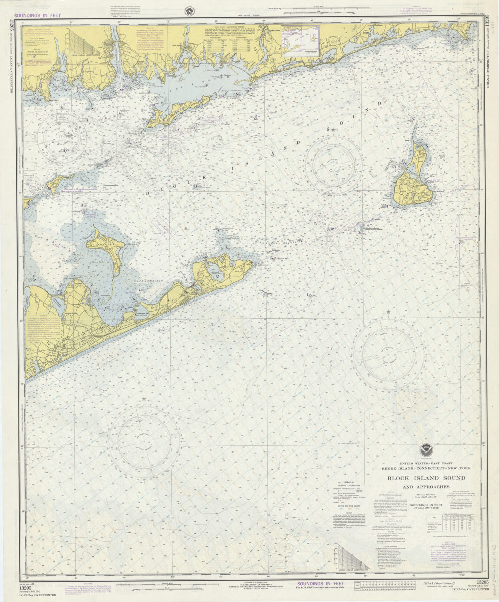
United States–east coast, Rhode Island–Connecticut–New York, Block Island Sound and approaches: National Ocean Survey
United States–east coast, Rhode Island–Connecticut–New York, Block Island Sound and approaches: National Ocean Survey
1974
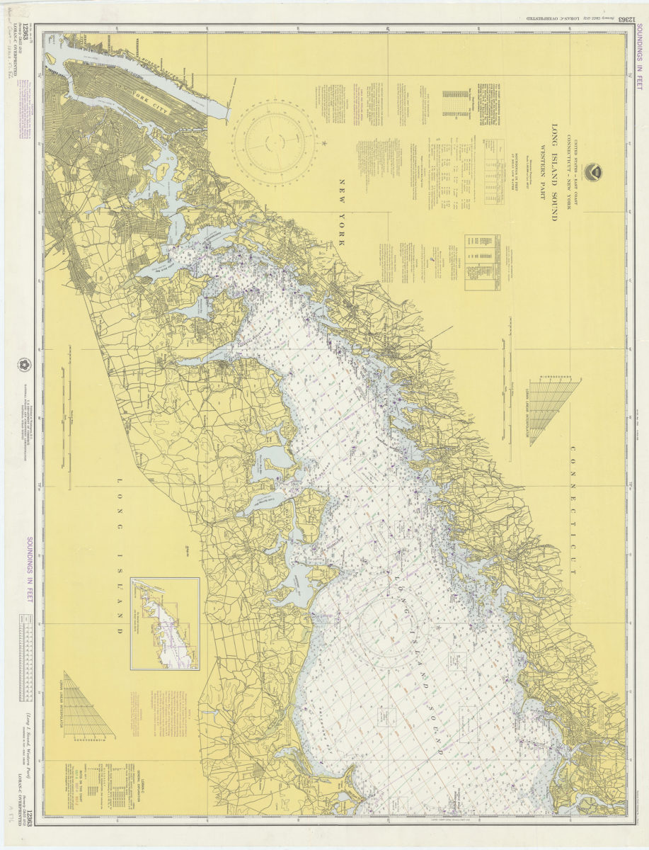
United States–east coast, Connecticut–New York, Long Island Sound – western part: National Ocean Survey
United States–east coast, Connecticut–New York, Long Island Sound – western part: National Ocean Survey
1974
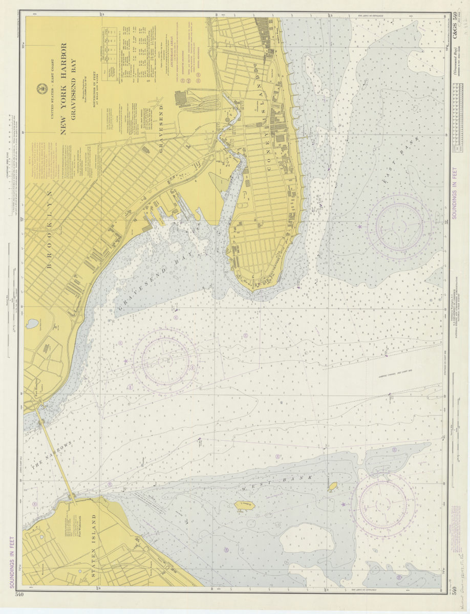
United States – East coast, New York Harbor, Gravesend Bay: National Ocean Survey
United States – East coast, New York Harbor, Gravesend Bay: National Ocean Survey
1974
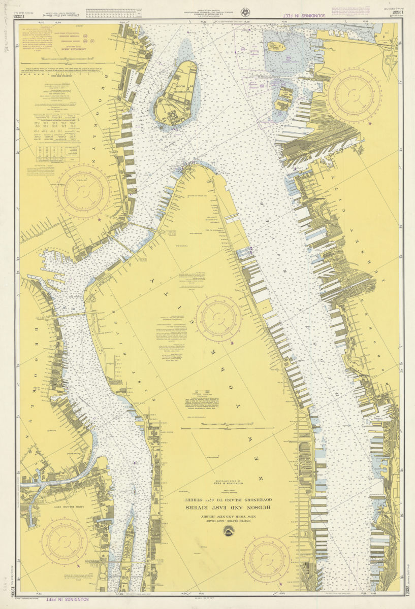
United States–east coast, New York and New Jersey, Hudson and East Rivers, Governors Island to 67th Street: National Ocean Survey
United States–east coast, New York and New Jersey, Hudson and East Rivers, Governors Island to 67th Street: National Ocean Survey
1974
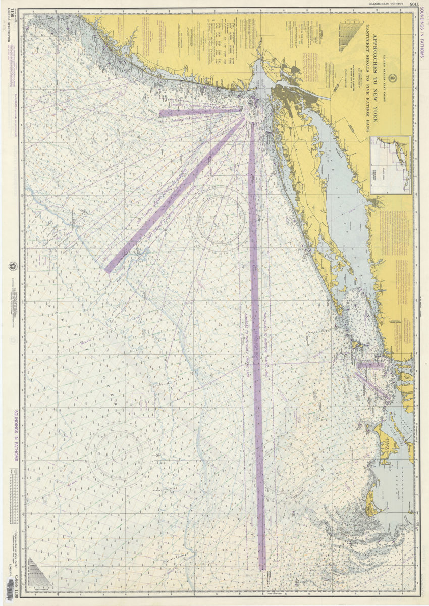
United States–east coast, approaches to New York, Nantucket Shoals to Five Fathom Bank: National Ocean Survey
United States–east coast, approaches to New York, Nantucket Shoals to Five Fathom Bank: National Ocean Survey
1974
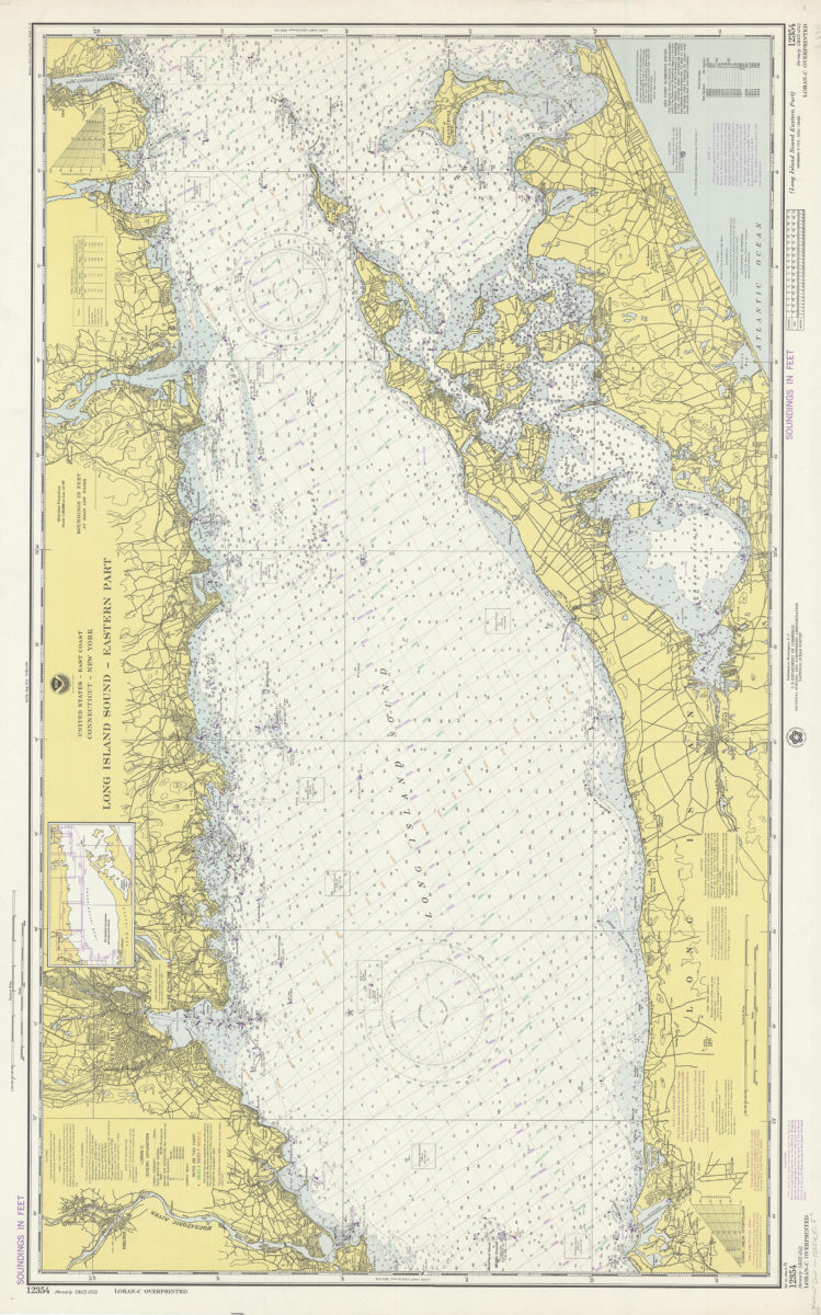
United States–east coast, Connecticut–New York, Long Island Sound, eastern part: National Ocean Survey
United States–east coast, Connecticut–New York, Long Island Sound, eastern part: National Ocean Survey
1975
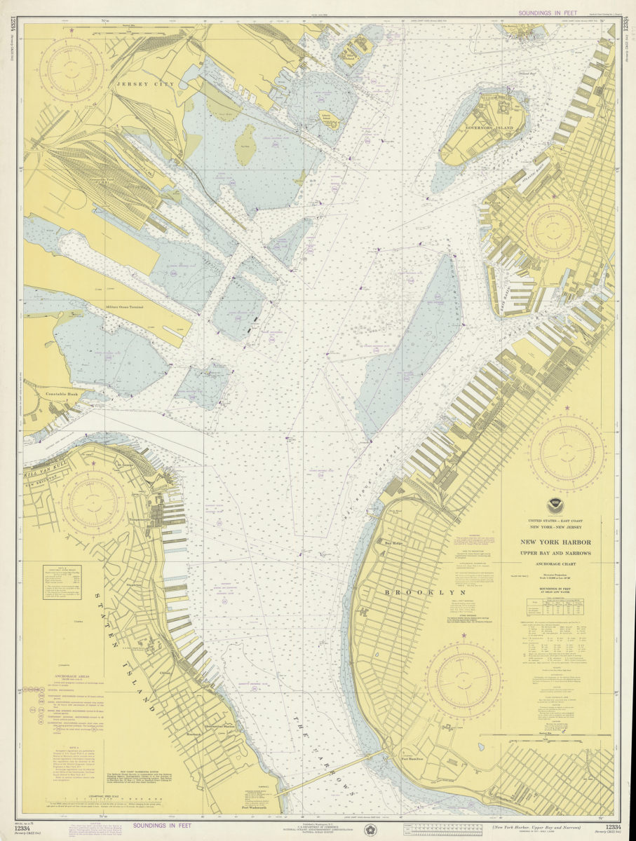
United States–east coast, New York–New Jersey, New York Harbor, Upper Bay and Narrows anchorage chart: Ocean Survey
United States–east coast, New York–New Jersey, New York Harbor, Upper Bay and Narrows anchorage chart: Ocean Survey
1975
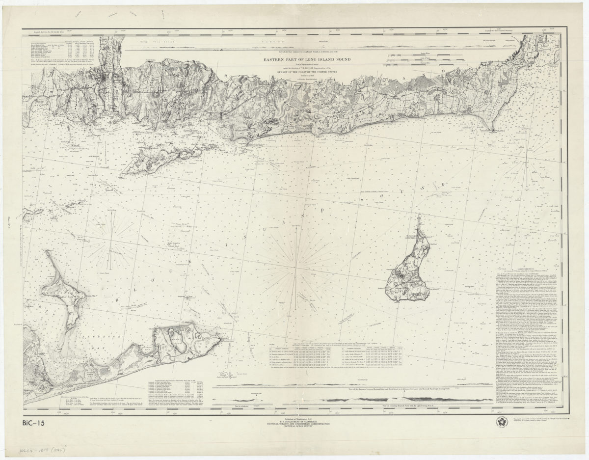
Eastern part of Long Island Sound: from a trigonometrical survey under the direction of F.R. Hassler, superintendent of the Survey of the Coast of the United States
Eastern part of Long Island Sound: from a trigonometrical survey under the direction of F.R. Hassler, superintendent of the Survey of the Coast of the United States
[1976]
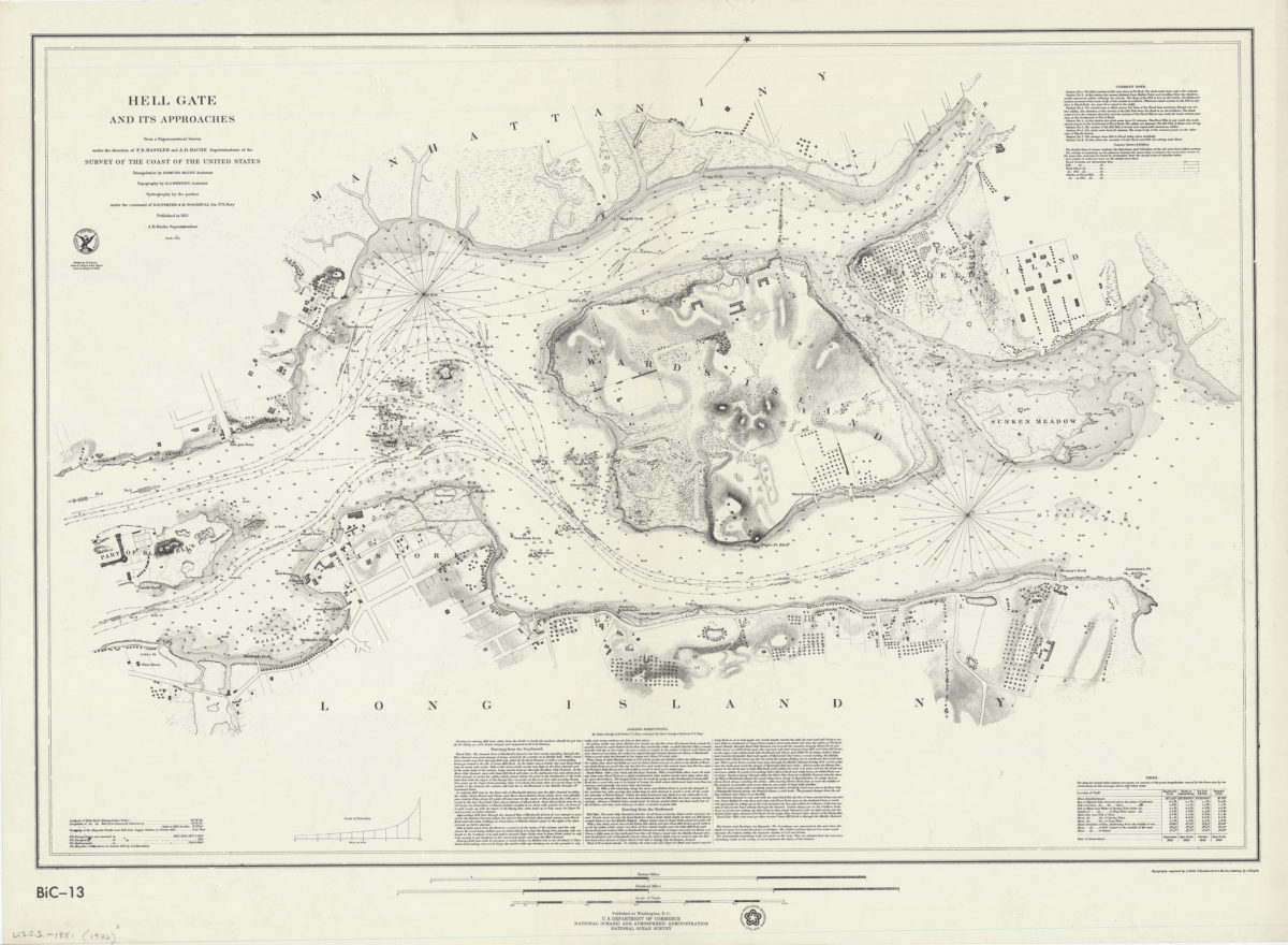
Hell Gate and its approaches: from a trigonometrical survey under the direction of F.R. Hassler and A.D. Bache, superintendents of the Survey of the Coast of the United States
Hell Gate and its approaches: from a trigonometrical survey under the direction of F.R. Hassler and A.D. Bache, superintendents of the Survey of the Coast of the United States
[1976]
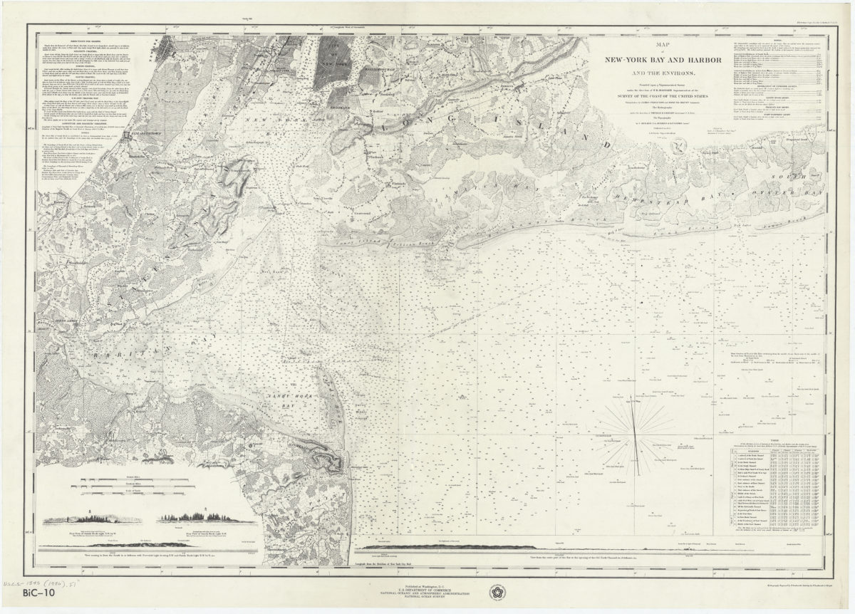
Map of New-York Bay and Harbor and the environs: founded upon a trigonometrical survey under the direction of F.R. Hassler, superintendent of the Survey of the Coast of the United States
Map of New-York Bay and Harbor and the environs: founded upon a trigonometrical survey under the direction of F.R. Hassler, superintendent of the Survey of the Coast of the United States
[1976]
Previous
1
2