Center for Brooklyn History
Map Collections
Search
About
Othmer Library & Archives
Submit search query
Refine 55 records
Clear filters
2
Location
Bronx (New York, N.Y.)
10
Brooklyn (New York, N.Y.)
891
Downtown Brooklyn (New York, N.Y.)
29
East River (N.Y.)
3
ferries
1
Manhattan (New York, N.Y.)
120
New York (N.Y.)
164
New York (State)
95
Queens (New York, N.Y.)
83
Staten Island (N.Y.)
10
United States
10
Subject
Bridges
13
Bus lines
20
Bus travel
22
Central business districts
10
City planning
7
Culture and tourism
1
Electric railroads
5
Elevated highways
1
Exhibitions
5
ferries
32
Ferry routes
3
Historic districts
4
Local transit
63
Postal codes
4
Public art
1
Railroads
72
Railroads, Elevated
24
Roads
117
Street addresses
11
Street railroads
8
Streets
46
Subways
55
Tunnels
16
Show 3 more
Date
20th Century
469
21th Century
66
or enter range:
from
to
Genres
Aerial views
15
Pictorial maps
38
Road maps
83
Thematic maps
60
Tourist maps
55
Transportation maps
120
Sort by:
Date (earliest)
Date (most recent)
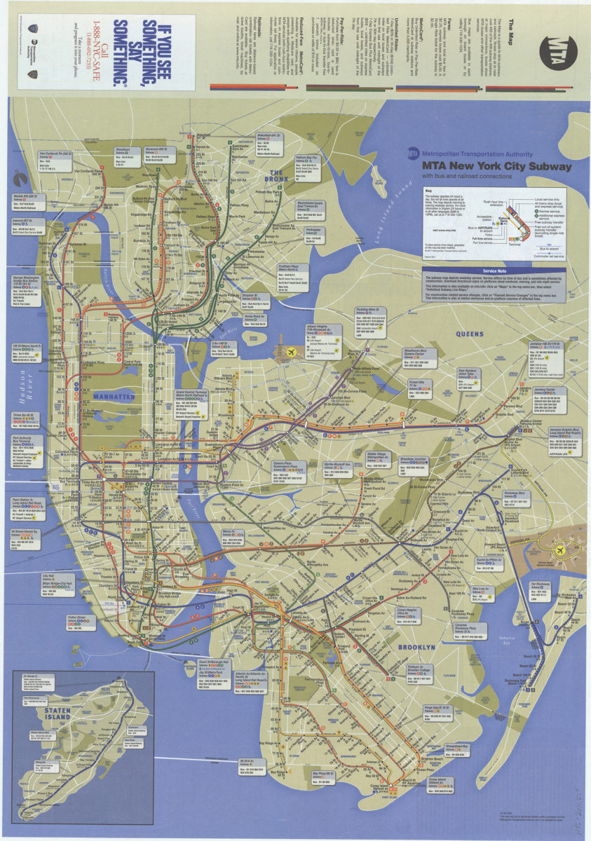
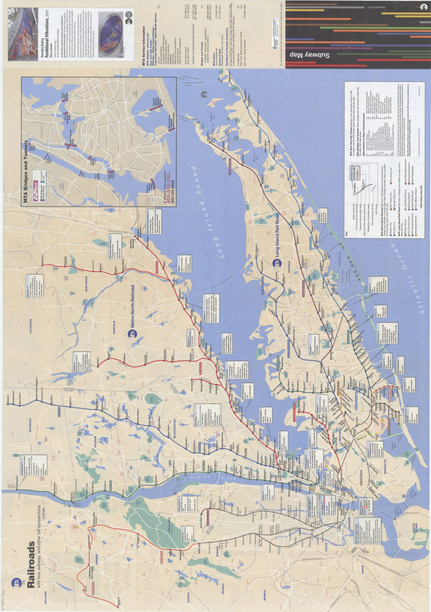
The map: MTA
The map: MTA
March 2011
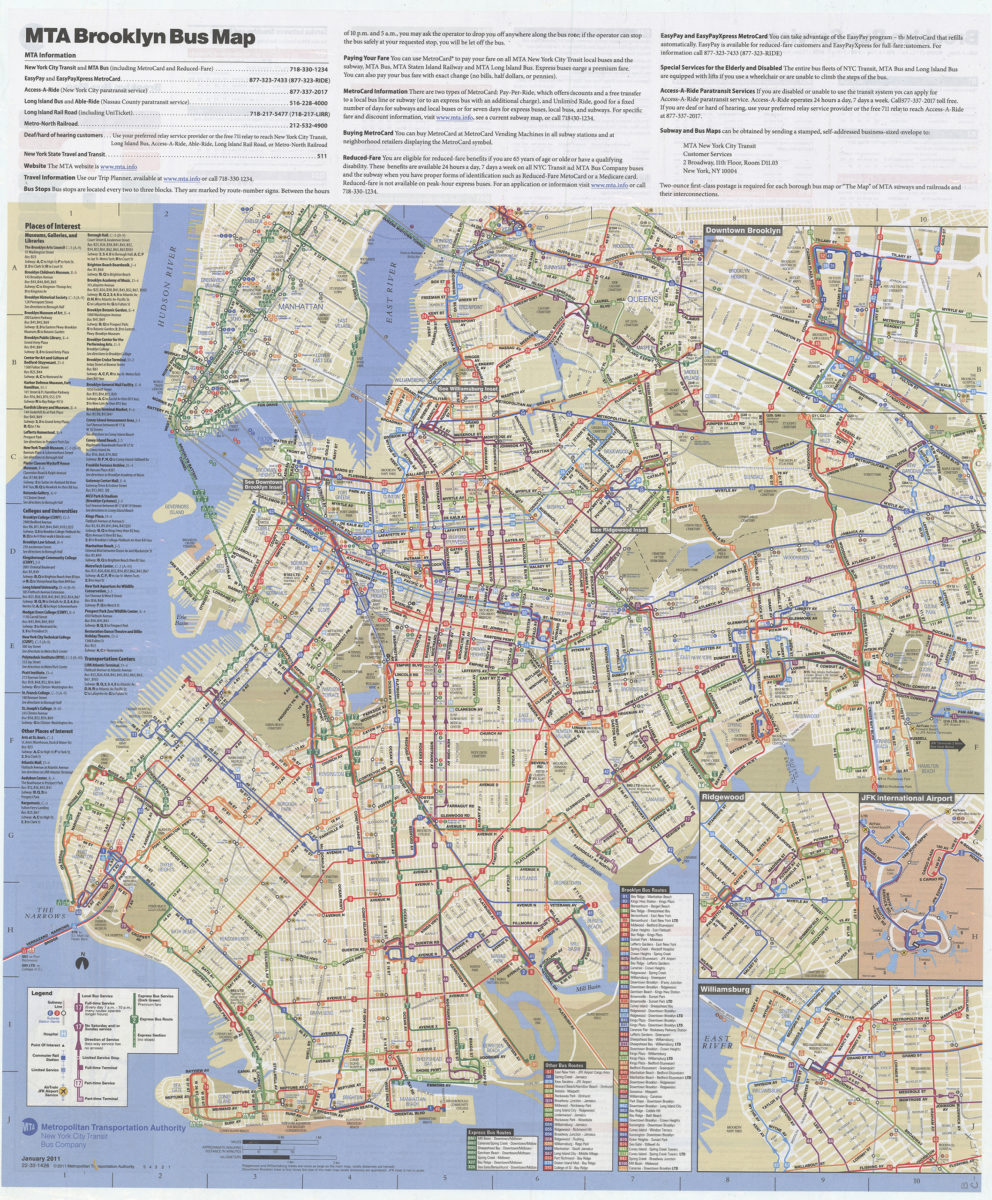
Brooklyn bus map: free, January 2011: MTA Metropolitan Transportation Authority, New York City Transit Bus Company
Brooklyn bus map: free, January 2011: MTA Metropolitan Transportation Authority, New York City Transit Bus Company
[2011; 2011]
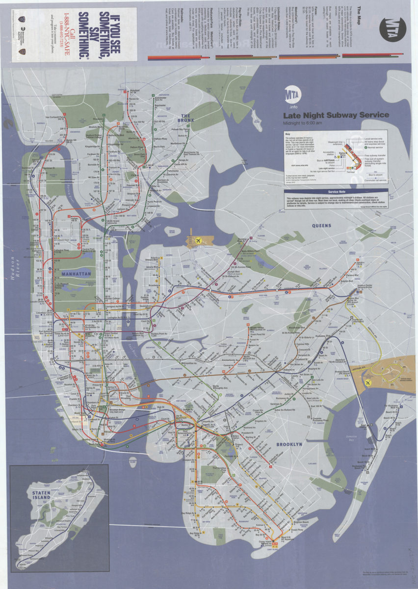
Late night subway service, midnight to 6: 12:00 AM: MTA.info
Late night subway service, midnight to 6: 12:00 AM: MTA.info
[ca. 2012]
The map: MTA
The map: MTA
2014
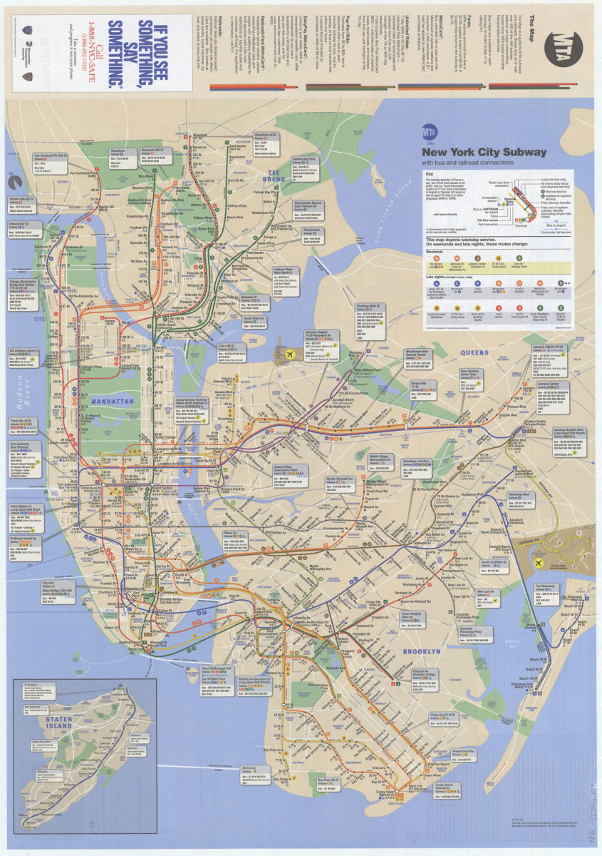
The map: MTA
The map: MTA
Sep-15
Previous
1
2