Center for Brooklyn History
Map Collections
Search
About
Othmer Library & Archives
Submit search query
Refine 72 records
Clear filters
2
Location
Albany (N.Y.)
3
Amityville (N.Y.)
1
Babylon (N.Y. : Town)
2
Babylon (N.Y.)
1
Bay Ridge (New York, N.Y.)
108
Brightwaters (N.Y.)
1
Brooklyn (New York, N.Y.)
891
Brownsville (New York, N.Y.)
10
Buffalo (N.Y.)
3
Columbia County (N.Y.)
1
Dutchess County (N.Y.)
2
East Flatbush (New York, N.Y.)
23
Flatlands (New York, N.Y.)
19
Flushing (New York, N.Y.)
13
Gravesend (New York, N.Y.)
25
Greene County (N.Y.)
3
Holland Tunnel (Jersey City, N.J., and New York, N.Y.)
1
Islip (N.Y.)
5
Kings Highway (New York, N.Y.)
1
Lindenhurst (N.Y.)
1
Long Island (N.Y.)
197
Manhattan (New York, N.Y.)
120
Midwood (New York, N.Y.)
9
Nassau County (N.Y.)
24
New England
8
New Jersey
27
New York (N.Y.)
164
New York (State)
95
New York Harbor (N.Y. and N.J.)
16
New York Metropolitan Area
40
Ocean Beach (N.Y.)
1
Queens (New York, N.Y.)
83
Saltaire (N.Y.)
1
Sheepshead Bay (New York, N.Y.)
13
Smithtown (N.Y. : Town)
4
Southampton (N.Y.)
5
Staten Island (N.Y.)
10
Suffolk County (N.Y.)
43
Westchester County (N.Y.)
11
Show 19 more
Subject
Airports
2
Airways
2
Automobile racing
1
Bicycle trails
17
Buildings
12
Canals
15
Country clubs
1
Electric railroads
5
Exhibitions
5
Federal aid to transportation
1
ferries
32
Ferry routes
3
Fills (Earthwork)
4
Fortification
7
Golf courses
2
Golf resorts
1
Highway planning
2
Landforms
15
Landowners
434
Local transit
63
Ponds
6
Postal codes
4
Railroads
72
Railroads, Elevated
24
Real property
619
Recreation
5
River channels
1
Rivers
16
Road maps
2
Roads
117
Steamboat lines
4
Street addresses
11
Street railroads
8
Streets
46
Subways
55
Tourism
1
Traffic engineering
1
Transportation
3
Wetlands
6
Yacht clubs
1
Zip codes
4
Show 21 more
Date
20th Century
469
or enter range:
from
to
Genres
Aerial views
15
Cadastral maps
597
Historical maps
53
Manuscript maps
365
Map
191
Pictorial maps
38
Road
1
Road maps
83
Statistical maps
8
Thematic maps
60
Tourist maps
55
Transportation maps
120
Sort by:
Date (earliest)
Date (most recent)
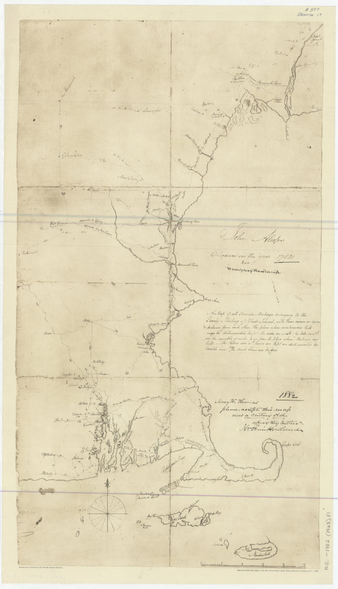
A map of all Friends Meetings belonging to the Yearly Meeting of Rhode Island: with their course or lying & distance from each other …: John Alsops ; drawn in the year 1782 for Humphrey Howland
A map of all Friends Meetings belonging to the Yearly Meeting of Rhode Island: with their course or lying & distance from each other …: John Alsops ; drawn in the year 1782 for Humphrey Howland
1963
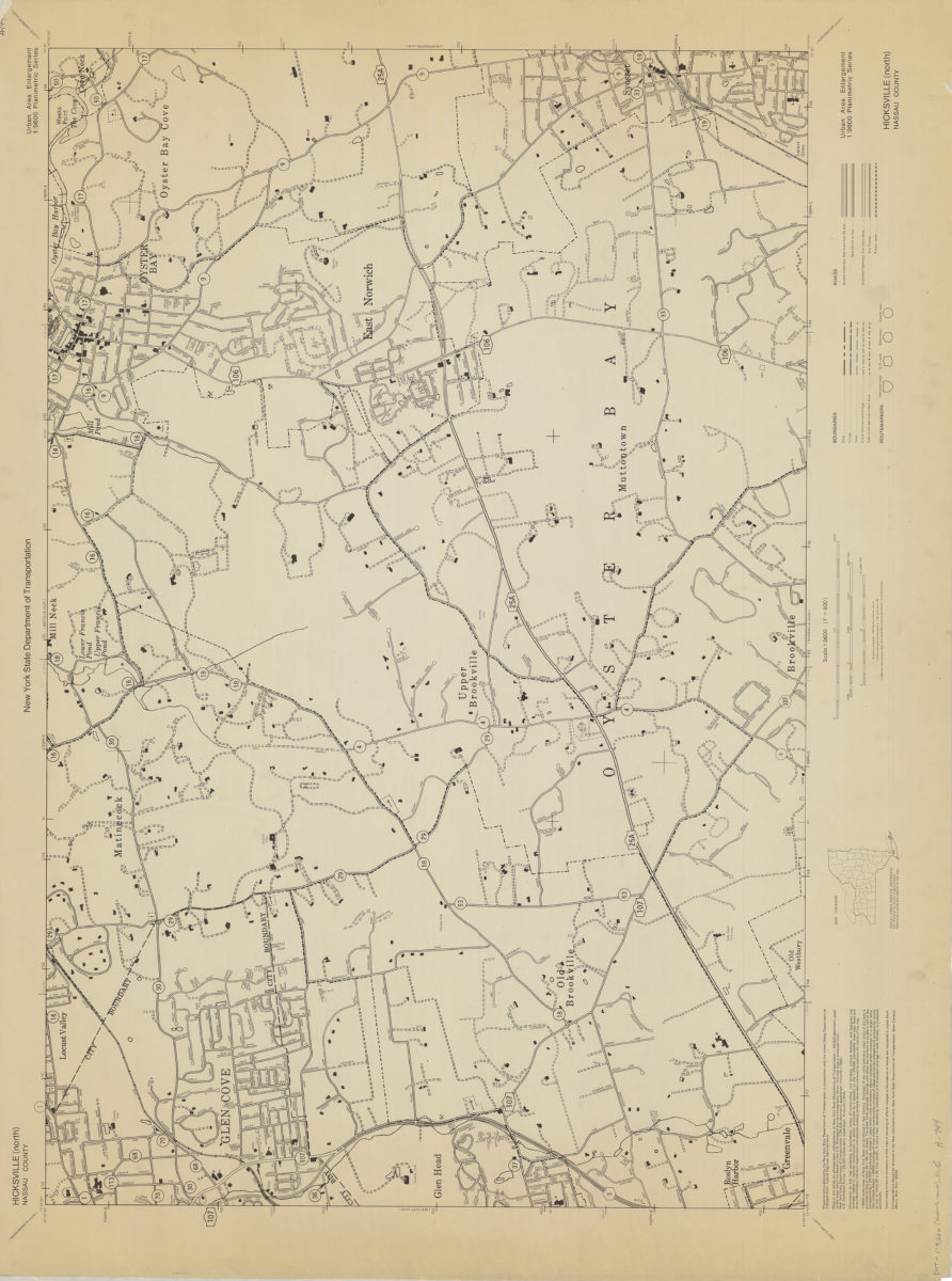
Hicksville (north)-Nassau County: New York State Department of Transportation
Hicksville (north)-Nassau County: New York State Department of Transportation
[1966]
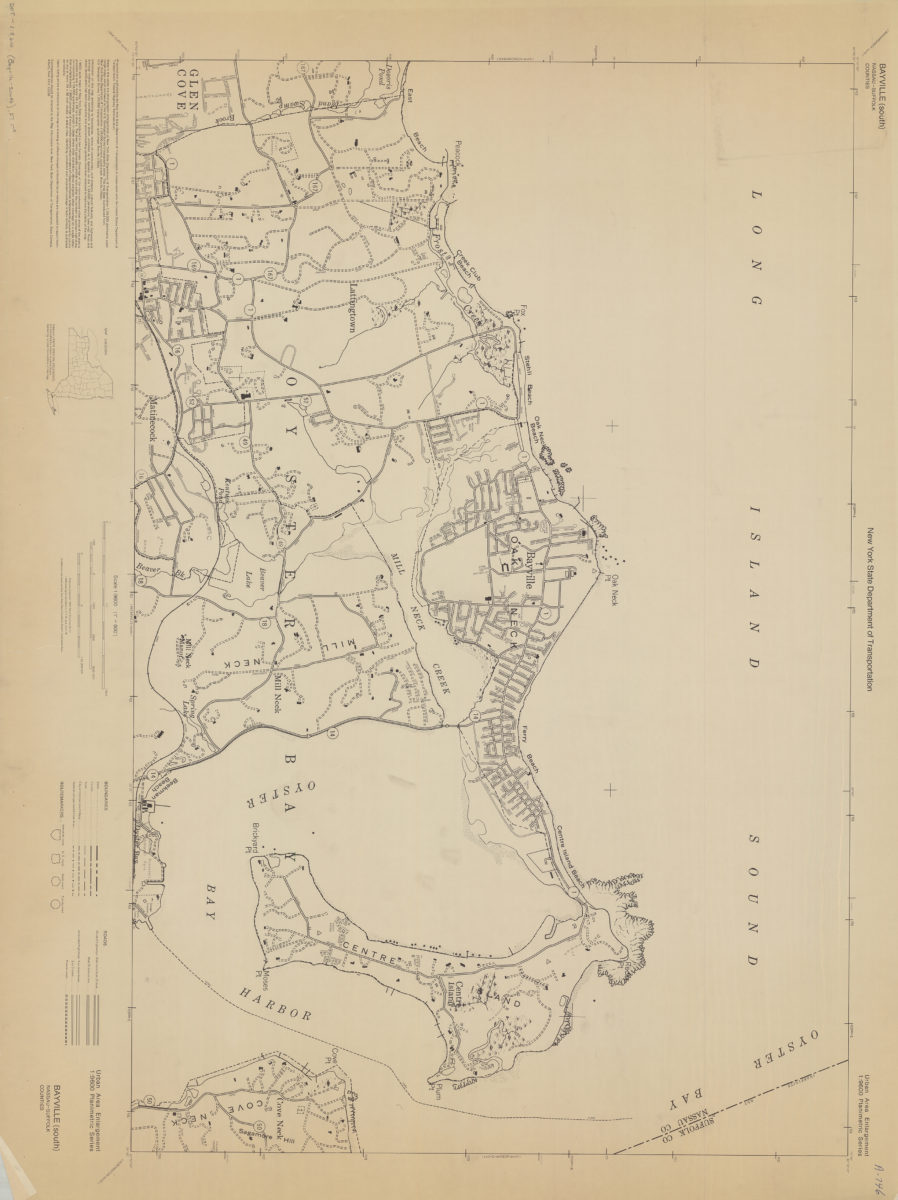
Bayville (south)-Nassau-Suffolk Counties: New York State Department of Transportation
Bayville (south)-Nassau-Suffolk Counties: New York State Department of Transportation
[1966]
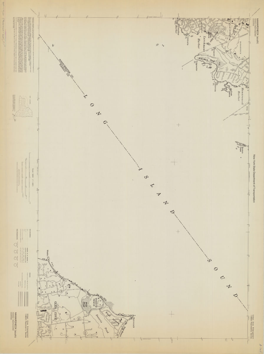
Mamaroneck (south)-Nassau/Westchester Counties: New York State Department of Transportation
Mamaroneck (south)-Nassau/Westchester Counties: New York State Department of Transportation
[1968]
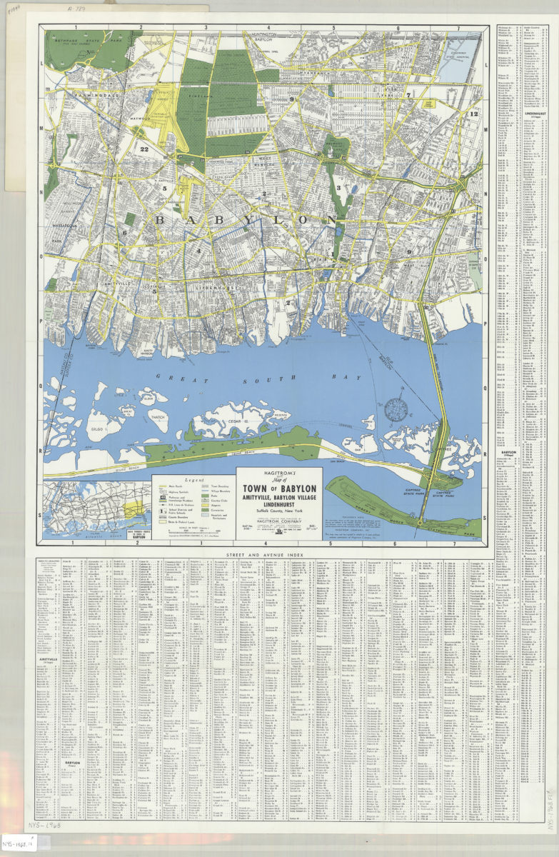
Hagstrom’s street and road map of Town of Babylon: Amityville, Babylon Village, Lindenhurst, Suffolk County, Long Island, N.Y.
Hagstrom’s street and road map of Town of Babylon: Amityville, Babylon Village, Lindenhurst, Suffolk County, Long Island, N.Y.
1968
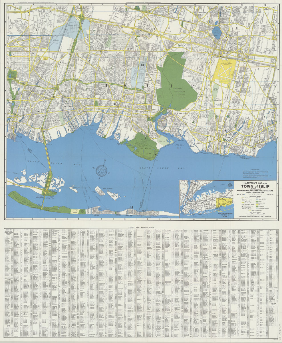
Hagstrom’s map of the Town of Islip: with the villages of Brightwaters, Ocean Beach and Saltaire, Suffolk County, New York
Hagstrom’s map of the Town of Islip: with the villages of Brightwaters, Ocean Beach and Saltaire, Suffolk County, New York
1968
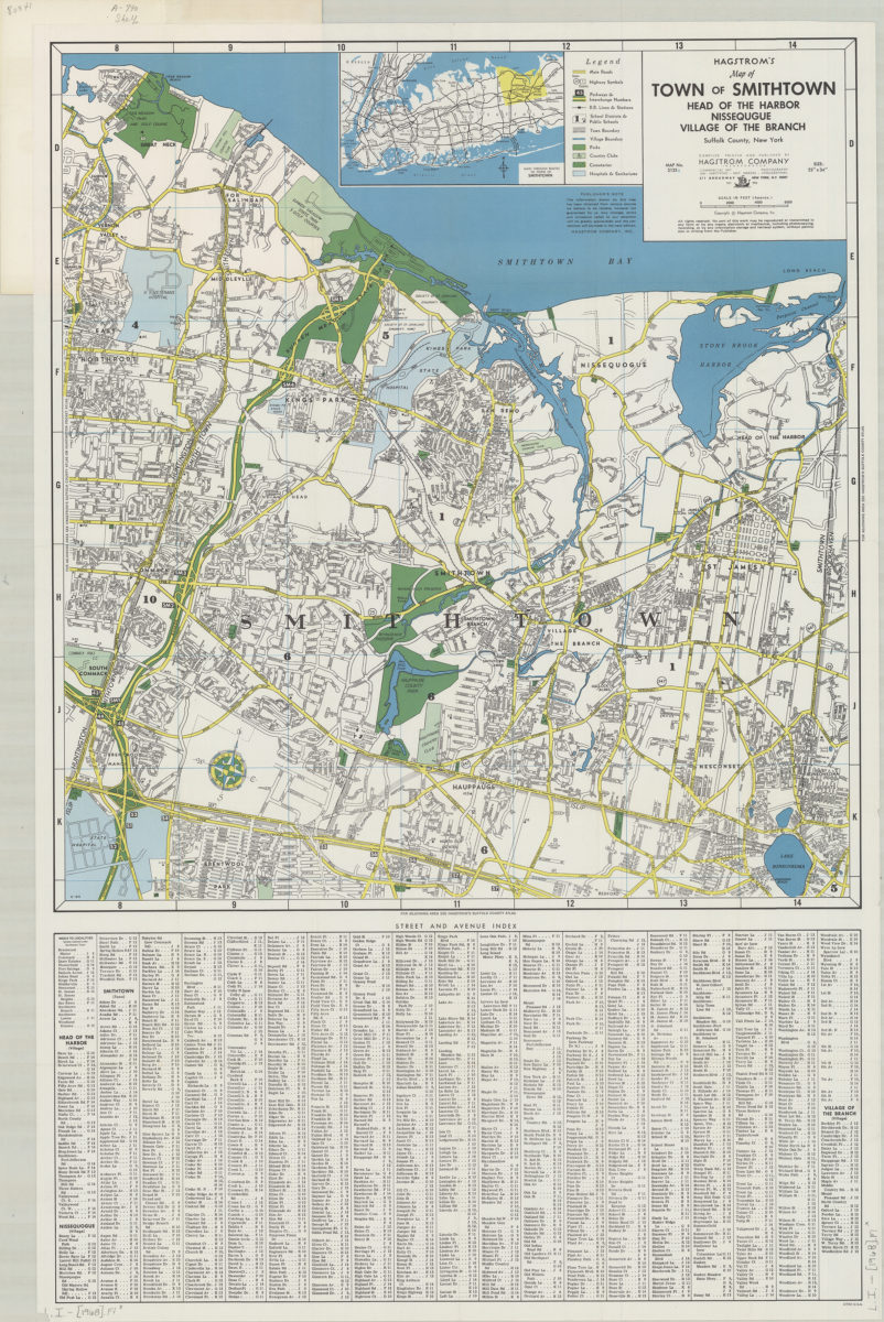
Hagstrom’s map of town of Smithtown, Head of the Harbor, Nissequgue [sic], Village of the Branch, Suffolk County, New York: compiled, printed, and published by Hagstrom Company Incorporated
Hagstrom’s map of town of Smithtown, Head of the Harbor, Nissequgue [sic], Village of the Branch, Suffolk County, New York: compiled, printed, and published by Hagstrom Company Incorporated
[1968]
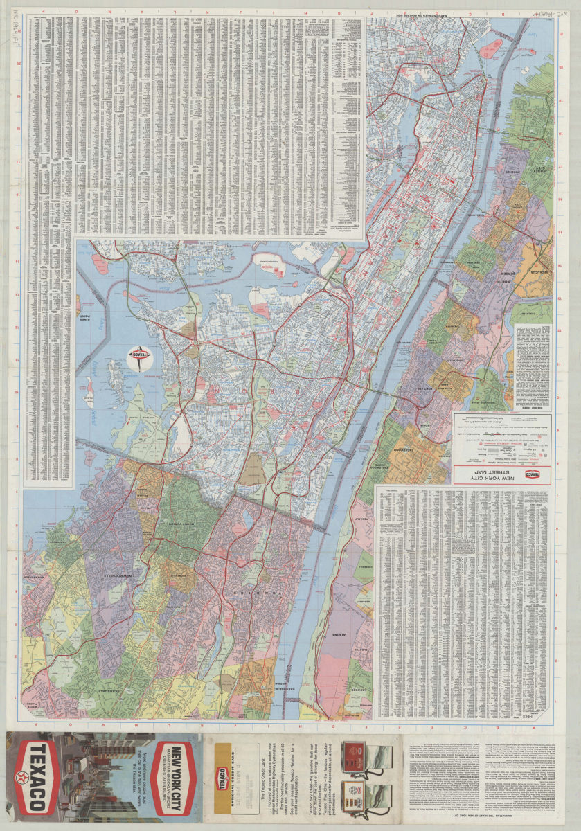
Texaco New York City street map
Texaco New York City street map
[1969; 1969]
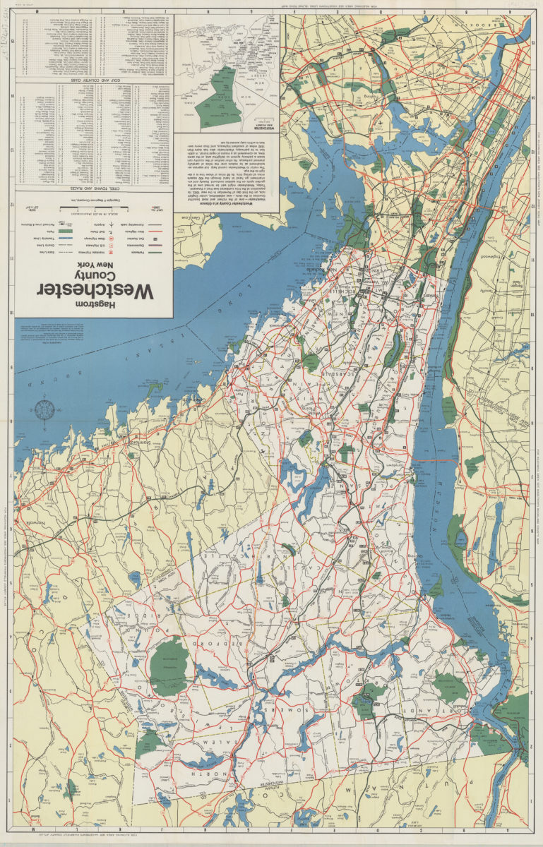
Hagstrom Westchester County, New York
Hagstrom Westchester County, New York
1970
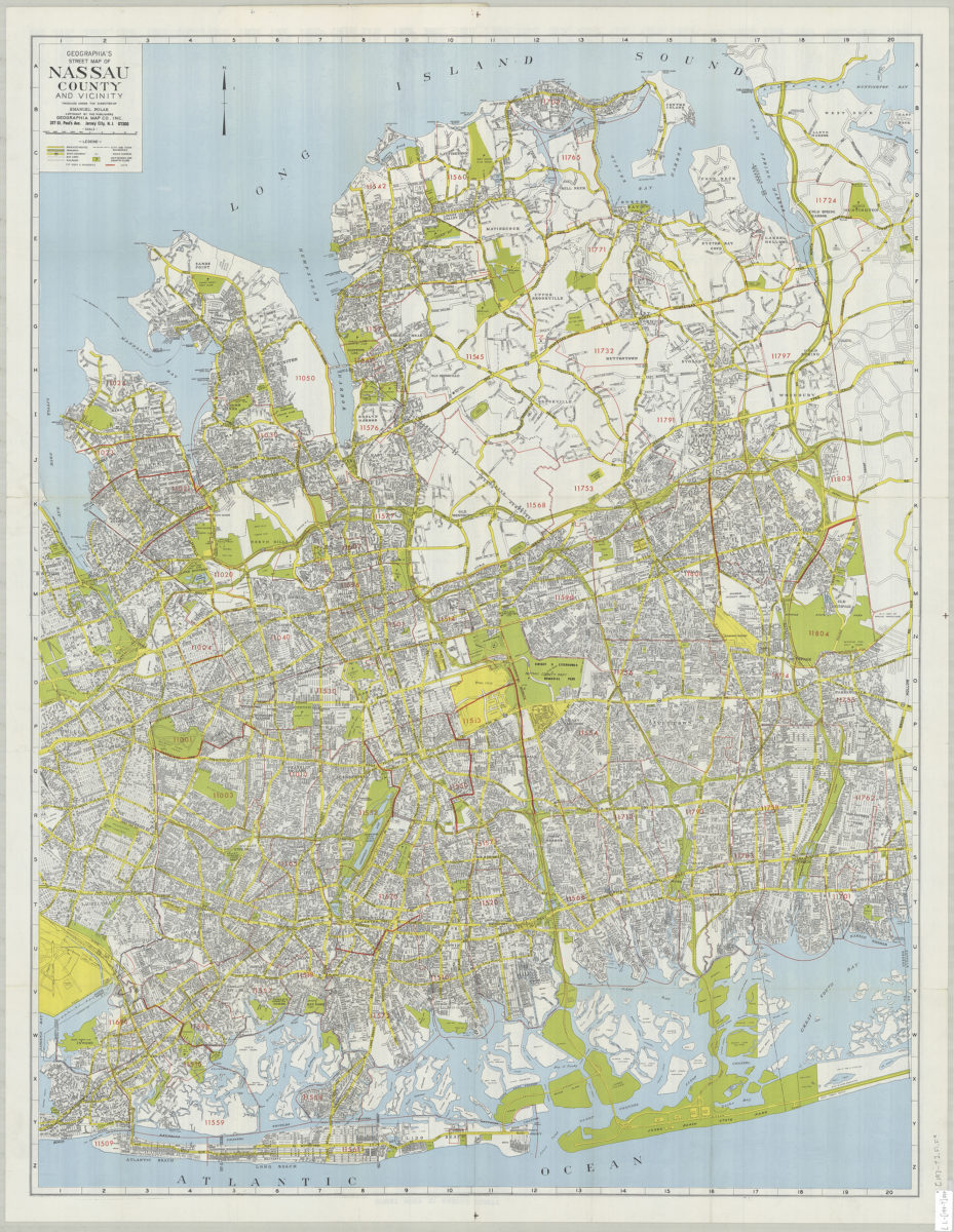
Geographia’s street map of Nassau County and vicinity: produced under the direction of Emanuel Polak
Geographia’s street map of Nassau County and vicinity: produced under the direction of Emanuel Polak
[197?]
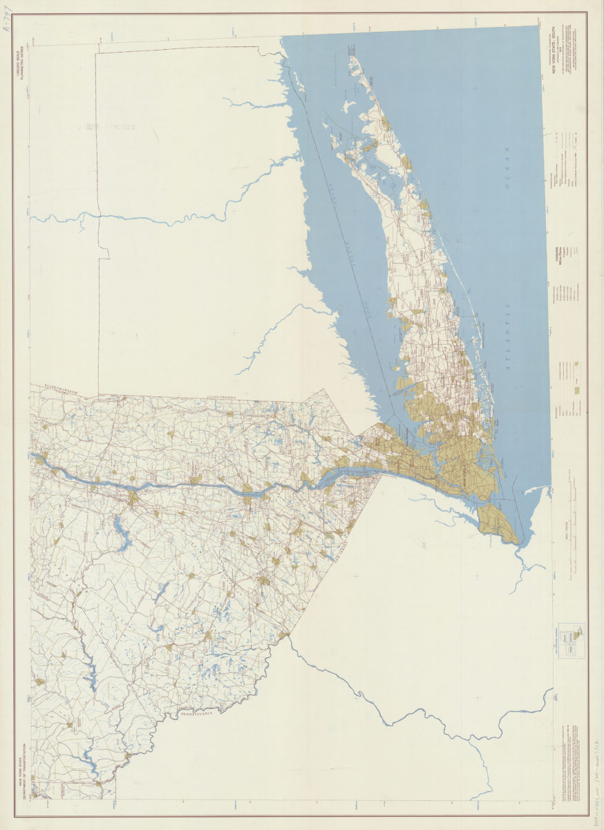
Transportation/planning map, New York State–South: prepared and published by the New York State Department of Transportation in cooperation with the Federal Highway Administration, U.S. Department of Transportation
Transportation/planning map, New York State–South: prepared and published by the New York State Department of Transportation in cooperation with the Federal Highway Administration, U.S. Department of Transportation
[1970; 1970]
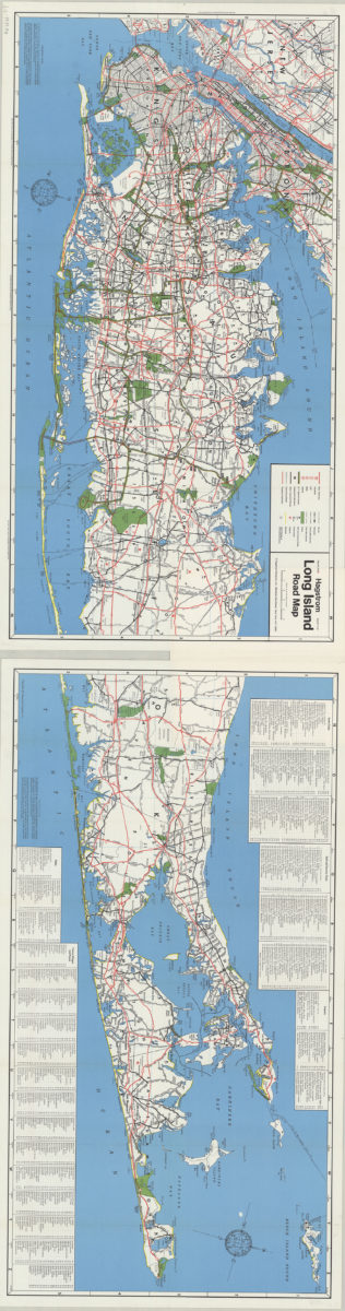
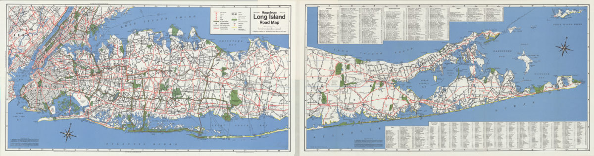
Hagstrom Long Island road map
Hagstrom Long Island road map
[1971]
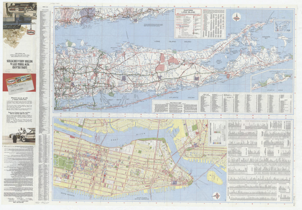
Long Island, New York City & metro area counties
Long Island, New York City & metro area counties
[1972]
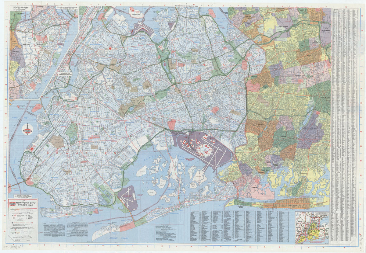
New York City street map: [prepared for] Texaco
New York City street map: [prepared for] Texaco
[1972]
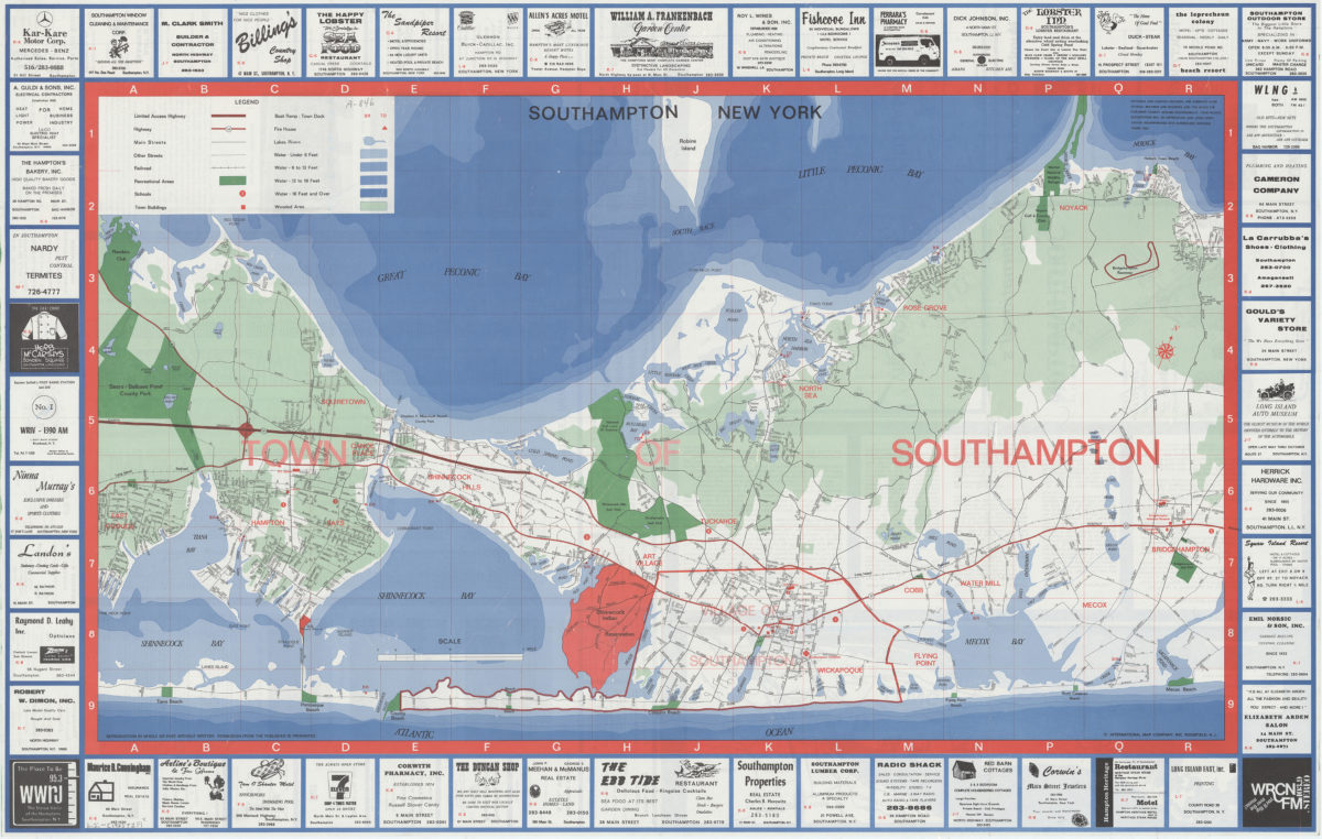
Southampton, New York
Southampton, New York
[1973]
Hagstrom Long Island road map
Hagstrom Long Island road map
[1974]
Long Island, New York City & metro area counties: [prepared for] Texaco
Long Island, New York City & metro area counties: [prepared for] Texaco
1975
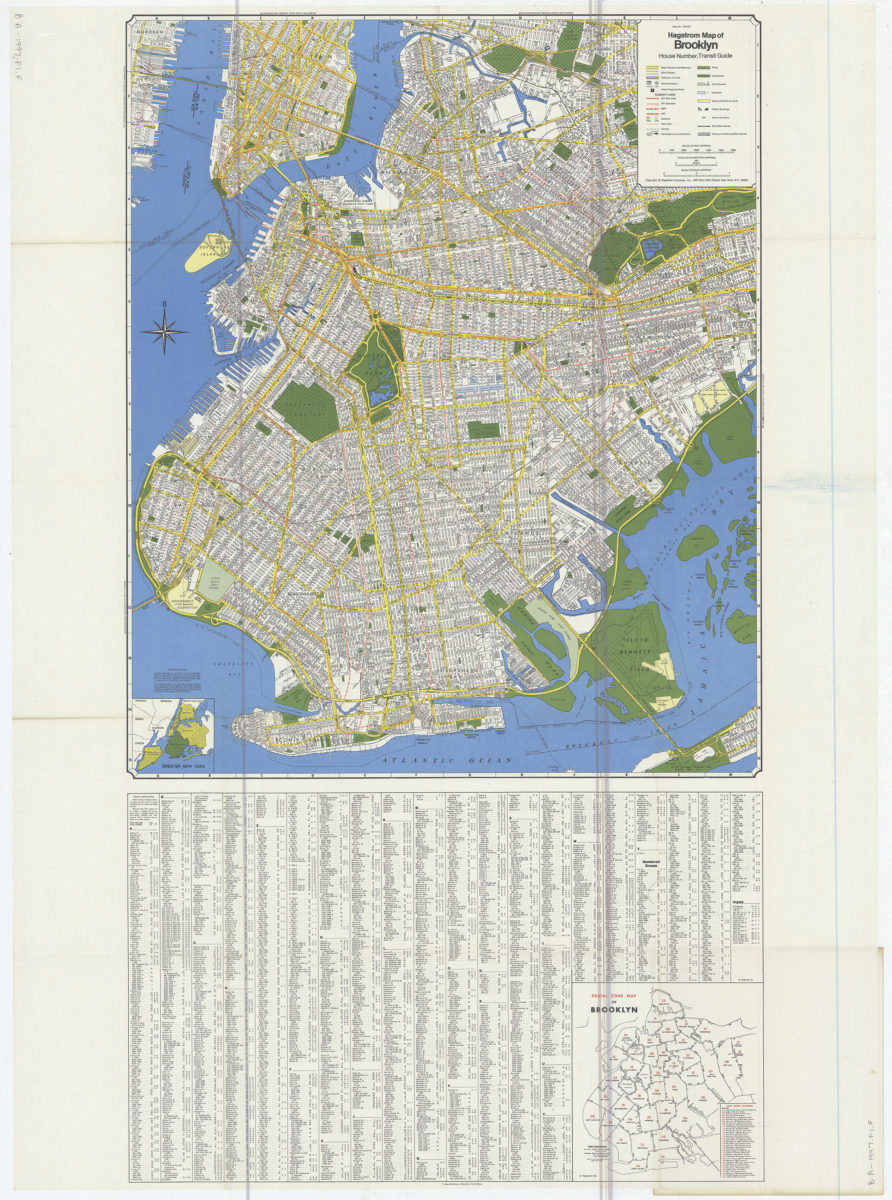
Hagstrom map of Brooklyn: house number, transit guide
Hagstrom map of Brooklyn: house number, transit guide
[1977]
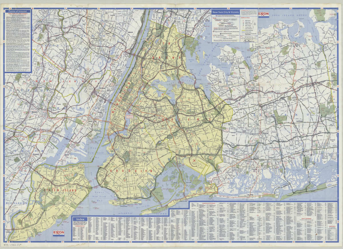
New York City and Long Island: featuring complete index, special area maps, recreation areas, points of interest text: Exxon
New York City and Long Island: featuring complete index, special area maps, recreation areas, points of interest text: Exxon
[ca. 1982]
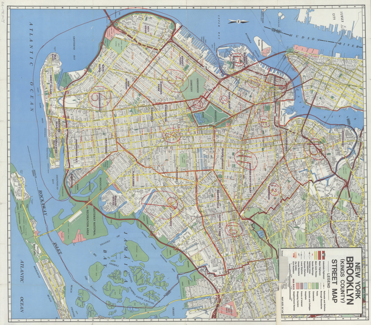
New York, Brooklyn (Kings County), street map: Geographia Map Co., Inc
New York, Brooklyn (Kings County), street map: Geographia Map Co., Inc
[ca. 1982]
Long Island road map: Hagstrom
Long Island road map: Hagstrom
[ca. 1987]
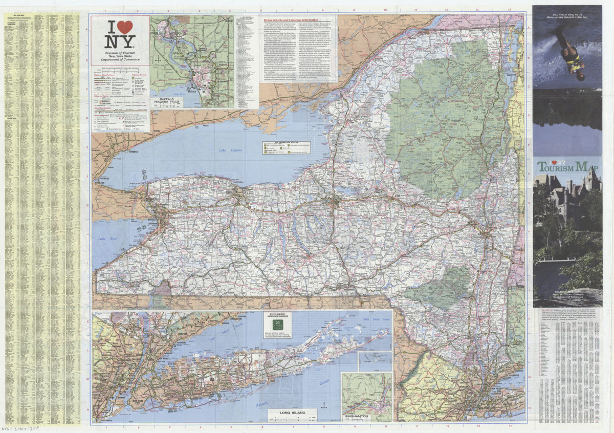
I [heart symbol] NY: Division of Tourism, New York State Department of Commerce
I [heart symbol] NY: Division of Tourism, New York State Department of Commerce
[1987]
Previous
1
2