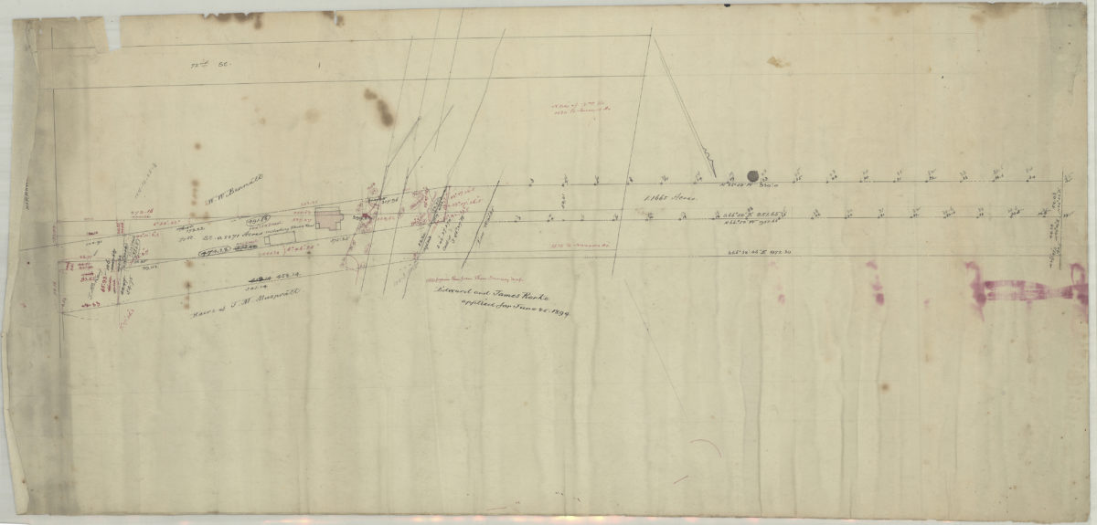
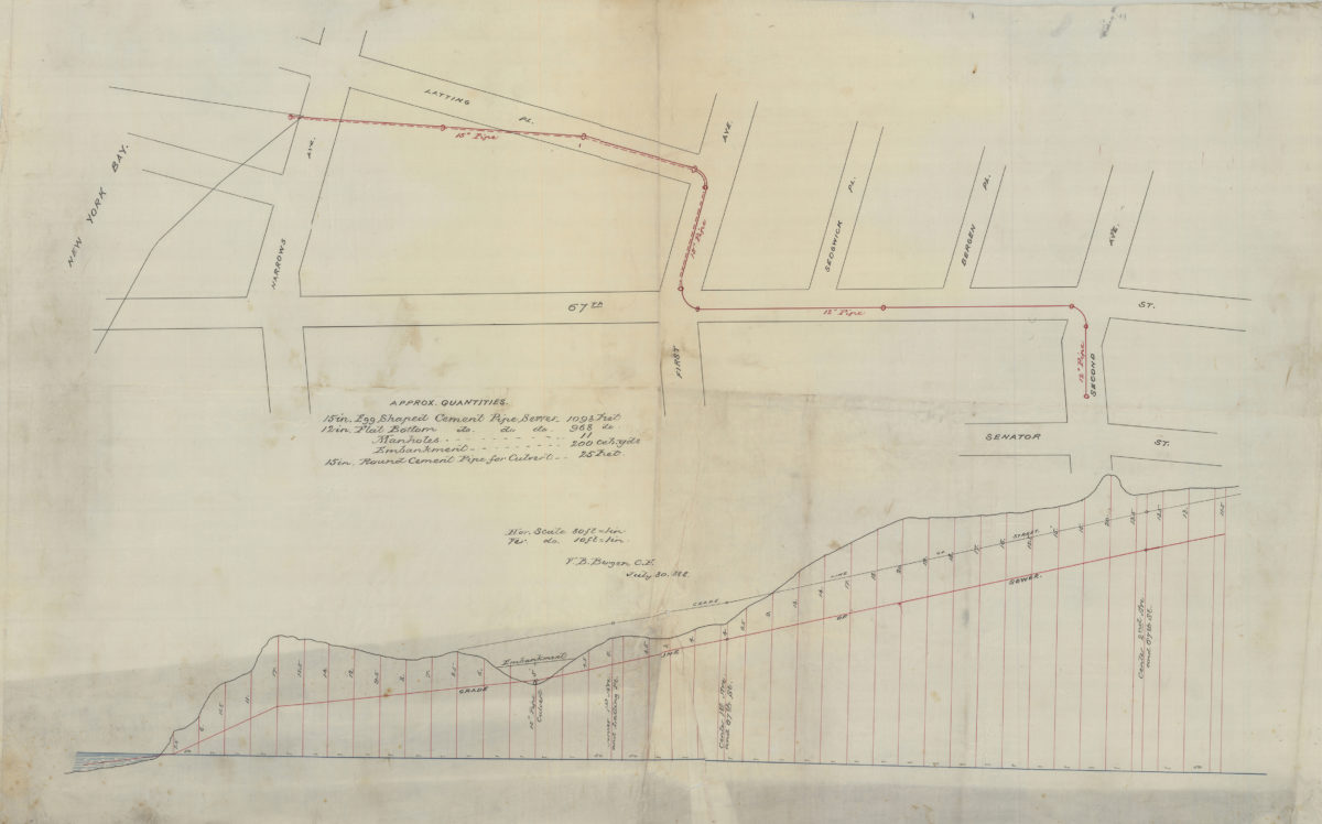
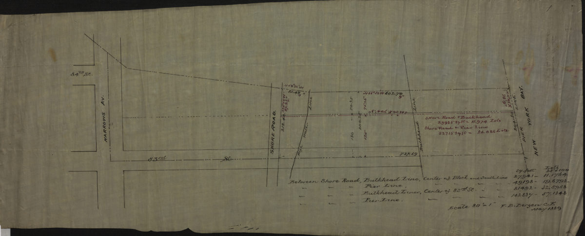
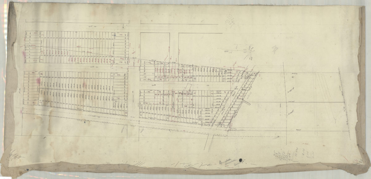
[Map of area north from Senator St. to Latting Pl. and east from New York Bay to 2nd Ave.]: V.B. Bergen, C.E.
July 30, 1888
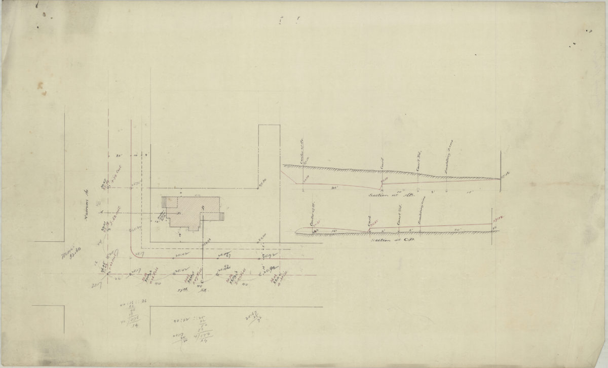
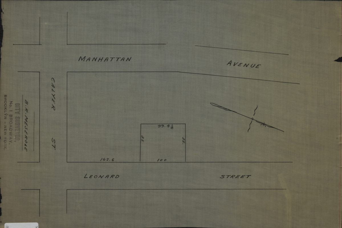
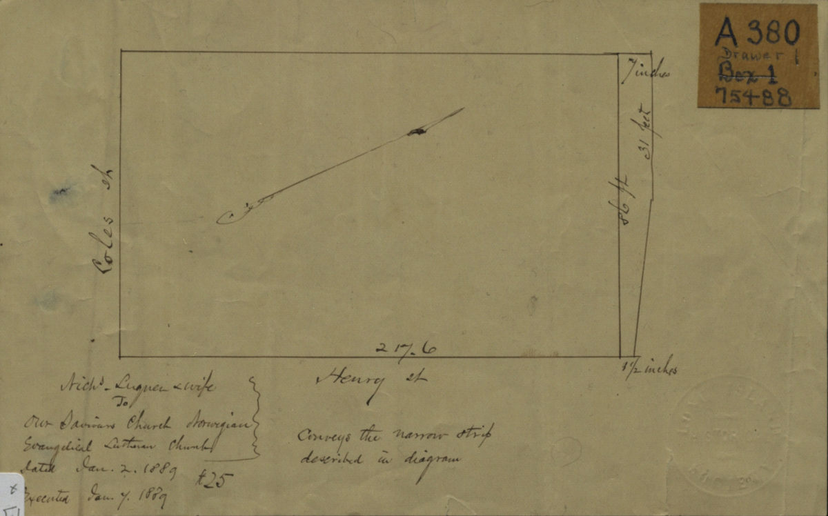
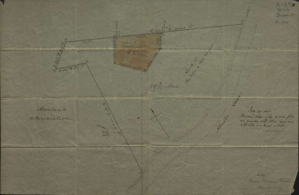
[Diagram of Luquer property at Coles St. and Henry St.].
January 2, 1889
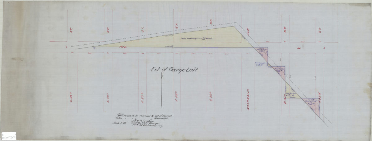
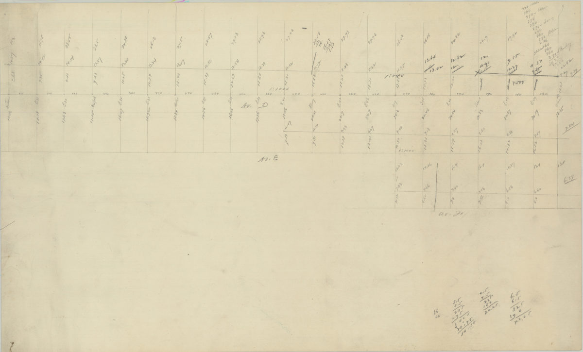
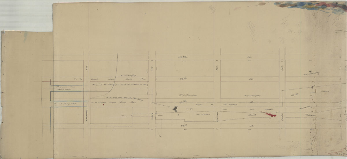
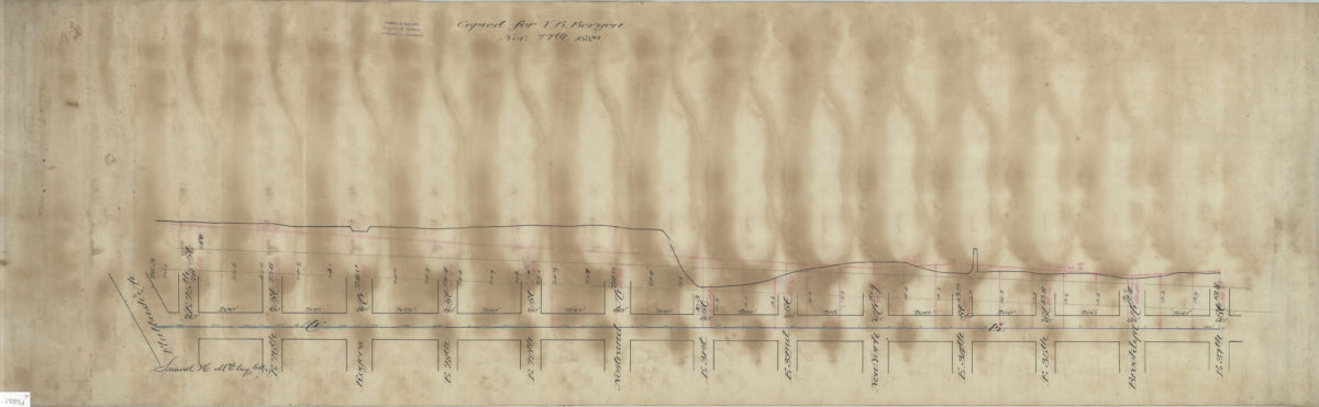
[Plan and profile of Avenue E from Flatbush Avenue to East 37th Street]: Samuel H. McElroy, C.E.
1889
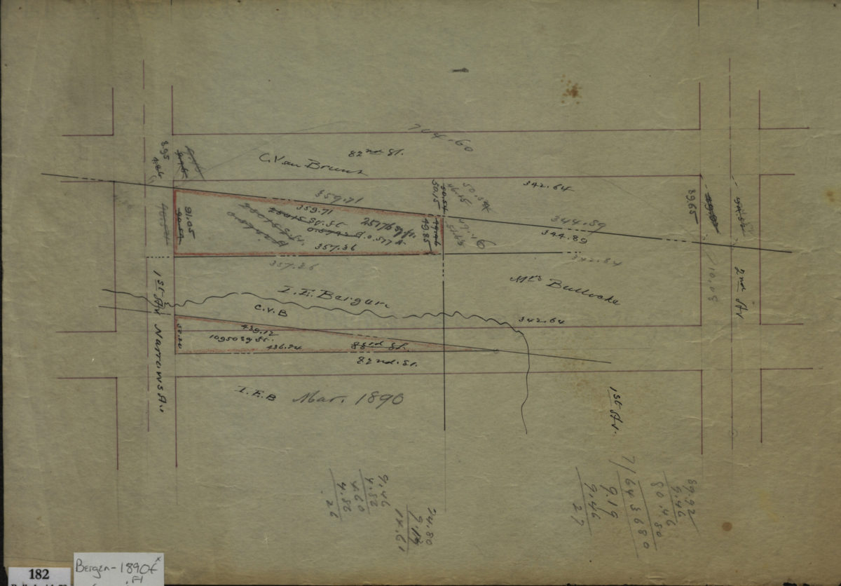
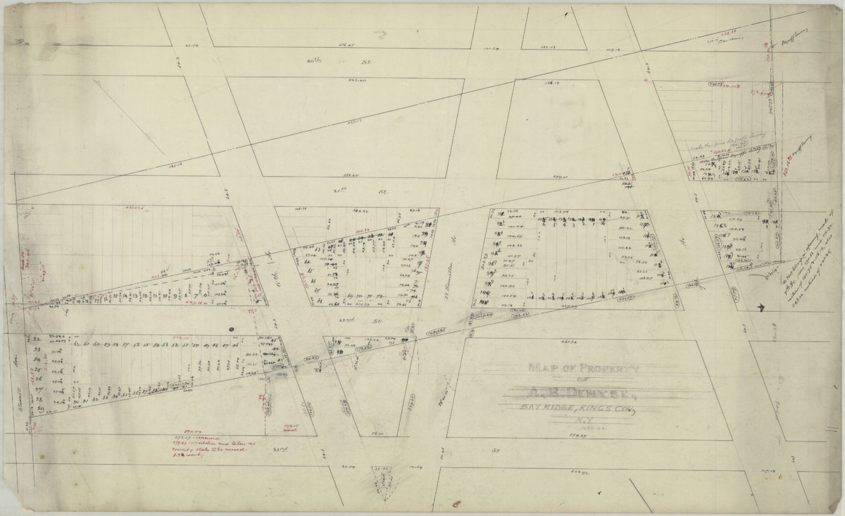
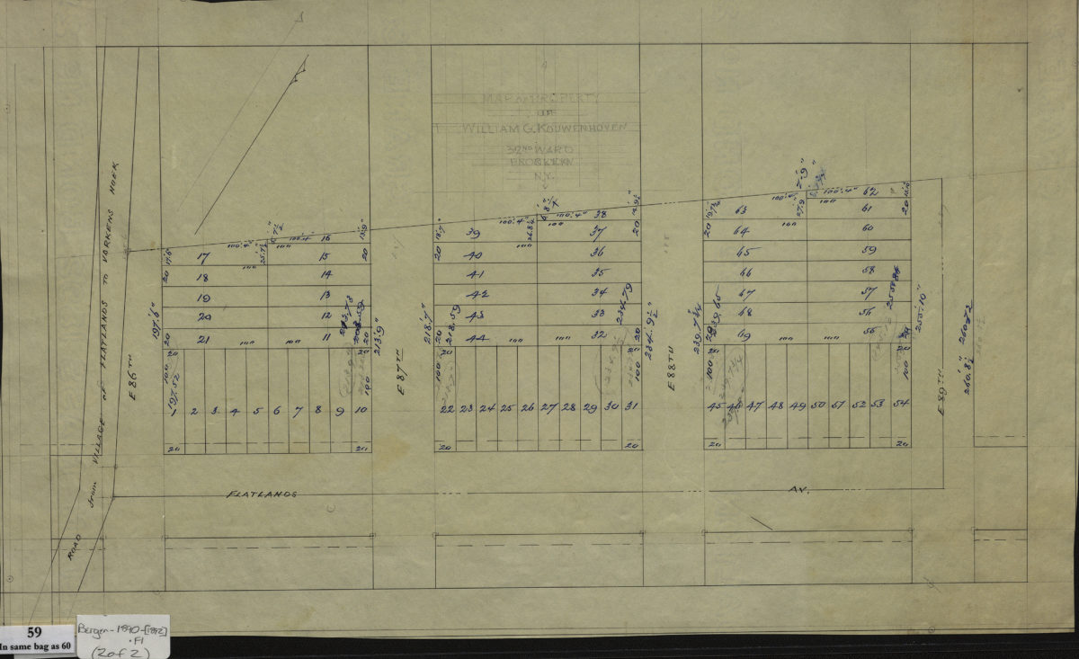
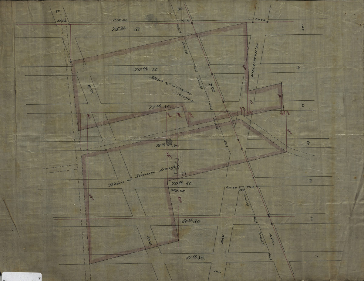
[Maps of land of John Cowenhoven, formerly of Garret Cowenhoven, and of William G. Kouwenhoven]
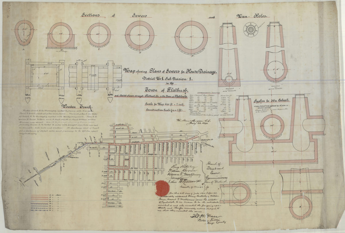
1890-[1892]
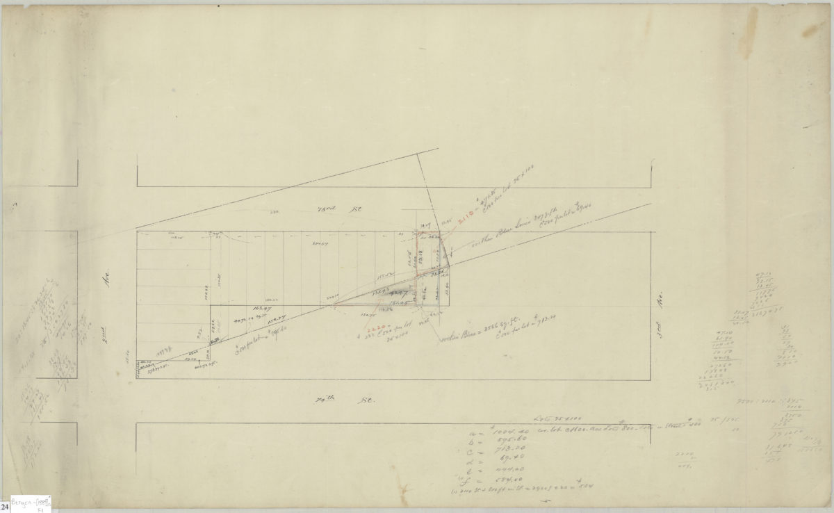
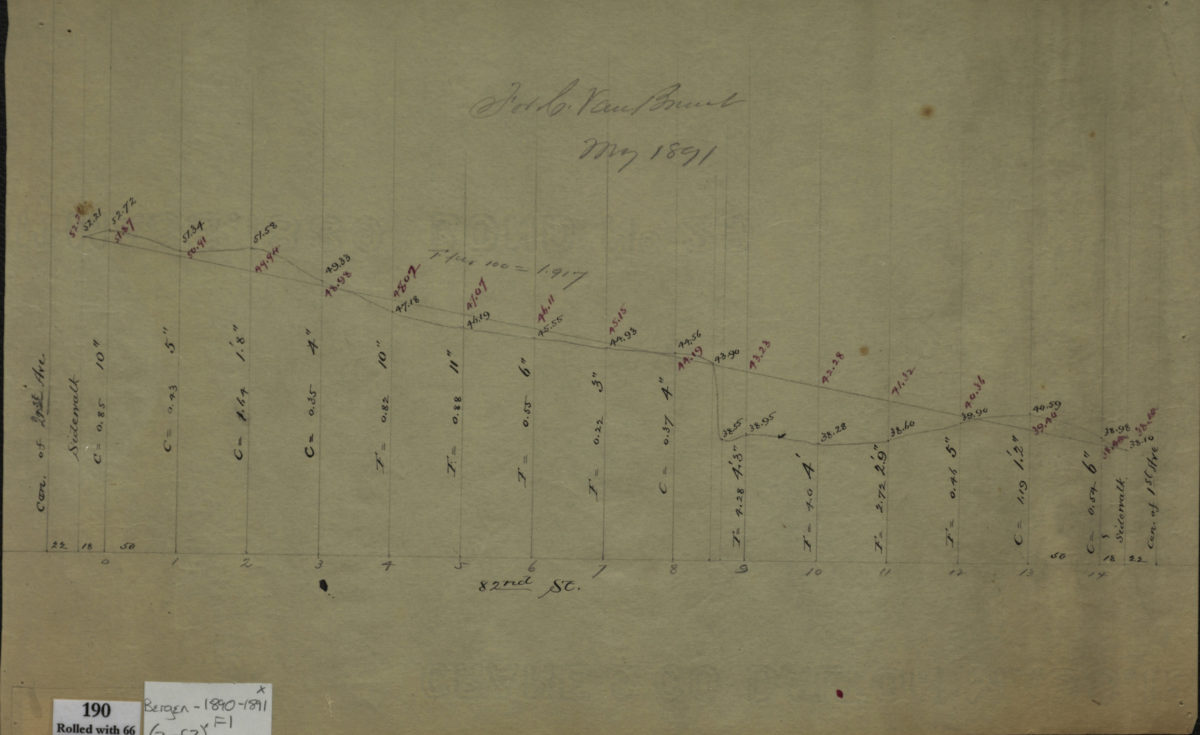
[Profile maps of the grades of 81st Street and 82nd Street between 1st Avenue and 2nd Avenue]
1890-1891
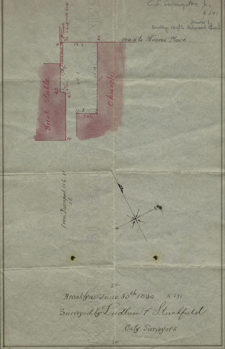
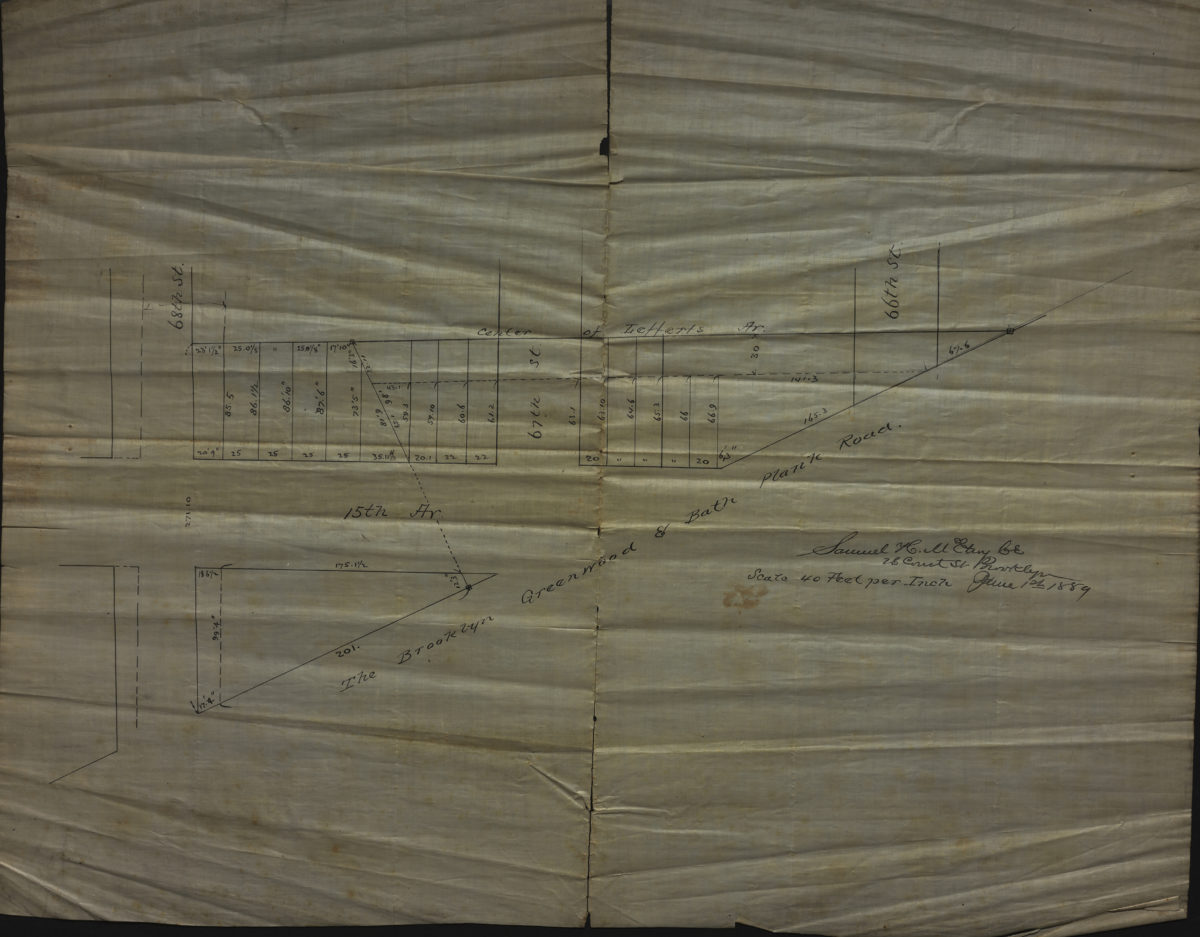
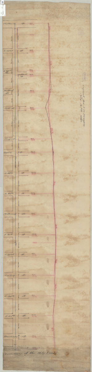
[Map showing the Brooklyn Heights Reformed Church]: surveyed by Ludlam & Stuchfield, city surveyors
June 30, 1890