Center for Brooklyn History
Map Collections
Search
About
Othmer Library & Archives
Submit search query
Refine 469 records
Clear filter
1
Location
Adirondack Mountains (N.Y.)
2
Albany (N.Y.)
3
Amagansett (N.Y.)
1
Amityville (N.Y.)
1
Atlantic Coast (North America)
6
Atlantic States
2
Babylon (N.Y. : Town)
2
Babylon (N.Y.)
1
Bath Beach (New York, N.Y.)
8
Battery Park (New York, N.Y.)
3
Bay Ridge (New York, N.Y.)
108
Bedford (N.Y. : Town)
1
Bedford-Stuyvesant (New York, N.Y.)
67
Belt Parkway (New York, N.Y.)
1
Bensonhurst (New York, N.Y.)
17
Bergen Beach (New York, N.Y.)
3
Bergen County (N.J.)
6
Block Island (R.I. : Island)
2
Boerum Hill (New York, N.Y.)
6
Borough Park (New York, N.Y.)
23
Brighton Beach (New York, N.Y.)
4
Brightwaters (N.Y.)
1
Bronx (New York, N.Y.)
10
Brookhaven (N.Y. : Town)
3
Brookhaven (N.Y.)
2
Brooklyn (New York, N.Y.)
891
Brooklyn Botanic Garden
2
Brooklyn Heights (New York, N.Y.)
76
Brooklyn-Battery Bridge (New York, N.Y.)
1
Brooklyn-Queens Expressway (New York, N.Y.)
3
Brownsville (New York, N.Y.)
10
Buffalo (N.Y.)
3
Bushwick (New York, N.Y.)
20
Canarsie (New York, N.Y.)
18
Carroll Gardens (New York, N.Y.)
21
Central Park (New York, N.Y.)
3
Champlain, Lake
1
Clinton Hill (New York, N.Y.)
10
Cobble Hill (New York, N.Y.)
7
Cold Spring Harbor (N.Y.)
1
Columbia County (N.Y.)
1
Columbia Street Waterfront District (New York, N.Y.)
3
Coney Island (New York, N.Y.)
22
Connecticut
7
Crown Heights (New York, N.Y.)
25
Cypress Hills (New York, N.Y.)
8
Delaware County (N.Y.)
1
Downtown Brooklyn (New York, N.Y.)
29
Dutchess County (N.Y.)
2
Dyker Heights (New York, N.Y.)
23
East Flatbush (New York, N.Y.)
23
East Hampton (N.Y.)
1
East New York (New York, N.Y.)
16
East River (N.Y.)
3
Elmhurst (New York, N.Y.)
1
Elmont (N.Y.)
1
Erie Basin (New York, N.Y.)
2
Fairfield County (Conn.)
5
Far Rockaway (New York, N.Y.)
2
ferries
1
Flatbush (New York, N.Y.)
35
Flatlands (New York, N.Y.)
19
Flushing (New York, N.Y.)
13
Flushing Meadows-Corona Park (New York, N.Y.)
1
Forest Hills Gardens (New York, N.Y.)
1
Fort Greene (New York, N.Y.)
22
Fort Hamilton (New York, N.Y.)
31
Fort Montgomery State Historic Site (Highlands, N.Y.)
1
Fort Totten (N.Y.)
1
Gardiners Bay (N.Y.)
1
Genesee County (N.Y.)
2
George, Lake (N.Y. : Lake)
1
Gerritsen Beach (New York, N.Y.)
2
Gowanus (New York, N.Y.)
12
Grand Army Plaza (Brooklyn, New York, N.Y.)
1
Gravesend (New York, N.Y.)
25
Great Neck (N.Y.)
3
Greene County (N.Y.)
3
Greenpoint (New York, N.Y.)
38
Greenwich Village (New York, N.Y.)
1
Greenwood Lake Region (N.J. and N.Y.)
1
Harlem (New York, N.Y.)
1
Hell Gate (New York, N.Y.)
2
Hempstead (N.Y.)
13
Holland Tunnel (Jersey City, N.J., and New York, N.Y.)
1
Hudson County (N.J.)
3
Hudson Highlands (N.Y.)
1
Hudson River (N.Y. and N.J.)
7
Huntington (N.Y.)
7
Inwood (New York, N.Y.)
1
Islip (N.Y.)
5
Ithaca, N.Y.
1
Jamaica Bay (N.Y.)
5
Jersey City (N.J.)
4
Kensington (New York, N.Y.)
11
Kings County (New York, N.Y.)
8
Kings Highway (New York, N.Y.)
1
Lawrence (Mercer County, N.J. : Township)
1
Lindenhurst (N.Y.)
1
Lloyd Harbor (N.Y.)
1
Long Island (N.Y.)
197
Long Island Sound (N.Y. and Conn.)
12
Lower Bay (N.Y. and N.J.)
1
Maidenhead (N.J.)
1
Maine, Gulf of
1
Malba (New York, N.Y.)
1
Manhattan (New York, N.Y.)
120
Manhattan Beach (New York, N.Y.)
2
Marine Park (New York, N.Y.)
5
Middle Atlantic States
2
Midwood (New York, N.Y.)
9
Mill Basin (New York, N.Y.)
3
Mohawk River Valley (N.Y.)
3
Montauk (N.Y.)
4
Nassau County (N.Y.)
24
New England
8
New Jersey
27
New Netherland
2
New York (N.Y.)
164
New York (State)
95
New York Harbor (N.Y. and N.J.)
16
New York Metropolitan Area
40
New York Region
5
North America
7
North Hempstead (N.Y. : Town)
4
Noyack (N.Y.)
1
Ocean Beach (N.Y.)
1
Orange County (N.Y.)
7
Orient (N.Y.)
1
Oyster Bay (N.Y.)
9
Park Slope (New York, N.Y.)
16
Passaic County (N.J.)
5
Patchogue (N.Y.)
2
Pennsylvania
4
Pike County (Pa.)
1
Port Washington (N.Y.)
1
Prospect Heights (New York, N.Y.)
16
Prospect Lefferts Gardens (Brooklyn, New York, N.Y.)
16
Prospect Park (New York, N.Y.)
25
Prospect Park South (New York, N.Y.)
8
Queens (New York, N.Y.)
83
Red Hook (New York, N.Y.)
19
Rensselaer County (N.Y.)
2
Ridgewood (New York, N.Y.)
2
Riverhead (N.Y.)
3
Rockland County (N.Y.)
5
Rockville Centre (N.Y.)
2
Sag Harbor (N.Y.)
2
Saint Albans (New York, N.Y.)
1
Saltaire (N.Y.)
1
Saratoga County (N.Y.)
1
Sea Gate (New York, N.Y.)
7
Secaucus (N.J.)
1
Sheepshead Bay (New York, N.Y.)
13
Shelter Island (N.Y.)
2
Sleepy Hollow (N.Y.)
1
Smithtown (N.Y. : Town)
4
Southampton (N.Y.)
5
Stapleton (New York, N.Y.)
1
Staten Island (N.Y.)
10
Suffolk County (N.Y.)
43
Sullivan County (N.Y.)
1
Sunset Park (New York, N.Y.)
53
Sussex County (N.J.)
3
U.S.
1
Ulster County (N.Y.)
4
United States
10
Upper Bay (N.Y. and N.J.)
4
Upper East Side (New York, N.Y.)
1
Upper West Side (New York, N.Y.)
2
Vermont
1
Wallabout Bay (New York, N.Y.)
6
Washington County (N.Y.)
1
Washington Heights (New York, N.Y.)
2
Westchester County (N.Y.)
11
White Plains (N.Y.)
1
Whitestone (New York, N.Y.)
3
Williamsburg (New York, N.Y.)
36
Windsor Terrace (New York, N.Y.)
10
Show 159 more
Subject
Academic libraries
1
Advertising
4
Aeronautical charts
1
African Americans
1
Airports
2
Airways
2
Amusement parks
1
Auctions
32
Automobile racing
1
Baseball teams
1
Bays
5
Bicycle trails
17
Bridges
13
Buildings
12
Bulkheads
1
Bus lines
20
Bus travel
22
Camp sites, facilities, etc
1
Canals
15
Cartography
1
Cemeteries
17
Central business districts
10
City planning
7
Coasts
4
Community development
2
Counties
1
Country clubs
1
Election districts
36
Electric railroads
5
Elevated highways
1
Ethnic neighborhoods
2
Ethnology
3
Exhibitions
5
Express highways
3
Federal aid to transportation
1
ferries
32
Ferry routes
3
Fills (Earthwork)
4
Forest reserves
1
Fortification
7
Gas companies
2
Golf courses
2
Golf resorts
1
Groundwater
1
Harbors
11
Highway planning
2
Historic buildings
3
Historic districts
4
Historic sites
3
Historical reenactments
1
Housing
4
Indian land transfers
1
Indian trails
1
Indians of North America
6
Land use
5
Landforms
15
Landowners
434
Local transit
63
Long Island, Battle of, New York, N.Y. , 1776
7
Marine terminals
2
Market surveys
4
Military bases, American
1
Minorities
2
Names, Geographical
1
Names, Personal
1
Natural areas
1
Nautical charts
14
Neighborhoods
3
New York (N.Y.)
1
New York (State)
1
New York Metropolitan Area
1
Outdoor recreation
1
Parks
35
Parkways
1
Pavements
3
Piers
25
Ponds
6
Postal codes
4
Promenades (Pedestrian areas)
1
Public housing
1
Racetracks (Horse racing)
1
Railroad terminals
2
Railroads
72
Railroads, Elevated
24
Real property
619
Recreation
5
Remote sensing
1
Rent
4
Resorts
3
River channels
1
Rivers
16
Road maps
2
Roads
117
Service stations
1
Sewerage
7
Shorelines
3
Steamboat lines
4
Street addresses
11
Street railroads
8
Streets
46
Subways
55
Topographic maps
1
Tourism
1
Traffic engineering
1
Transportation
3
Trees
1
Trolley buses
1
Tunnels
16
Universities and colleges
1
Urban renewal
3
Waterfronts
5
Waterways
2
Waterworks
5
Wells
2
Wetlands
6
White Plains, Battle of, White Plains, N.Y., 1776
3
World maps
1
Yacht clubs
1
Zip codes
4
Zoning
2
Show 100 more
Date
20th Century
469
or enter range:
from
to
Genres
Aerial views
15
Bathymetric maps
94
Broadsides
33
Cadastral maps
597
Early maps
35
Early works
3
Historical maps
53
History
2
Index maps
1
Loran charts
3
Manuscript maps
365
Map
191
Maps
6
Military maps
23
Nautical charts
30
Physical maps
4
Pictorial maps
38
Population maps
6
Public utility maps
15
Remote-sensing maps
1
Road
1
Road maps
83
Statistical maps
8
Thematic maps
60
Topographic maps
70
Tourist maps
55
Transportation maps
120
Zoning maps
55
Show 8 more
Sort by:
Date (earliest)
Date (most recent)
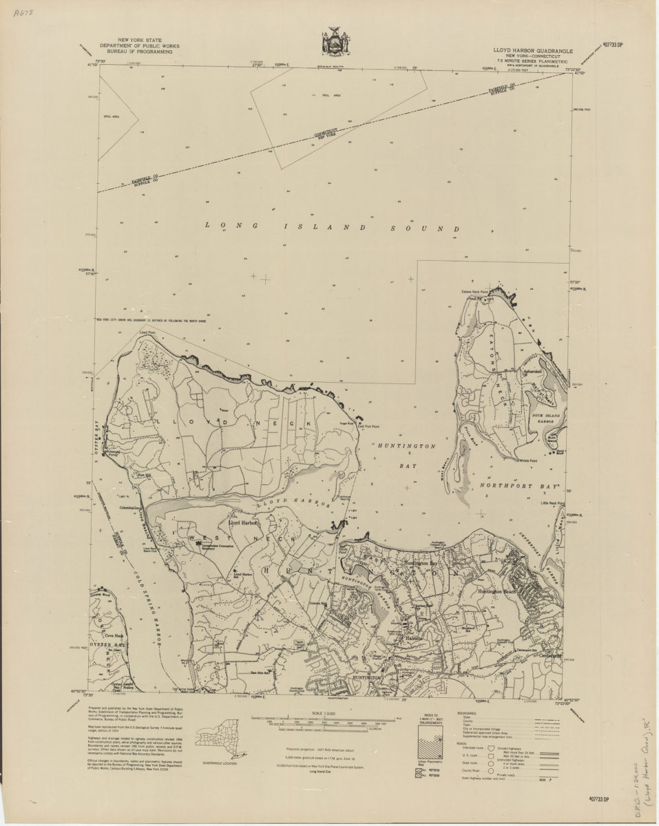
Lloyd Harbor quadrangle, New York–Connecticut
Lloyd Harbor quadrangle, New York–Connecticut
[1966]
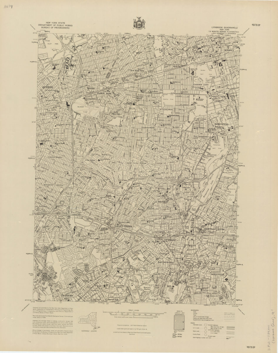
Lynbrook quadrangle, New York
Lynbrook quadrangle, New York
[1966]
Mattituck quadrangle, New York–Suffolk Co
Mattituck quadrangle, New York–Suffolk Co
[1966]
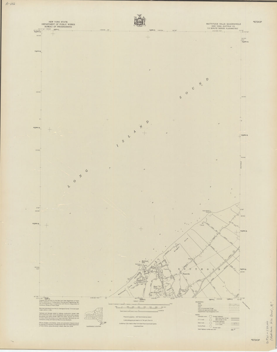
Mattituck Hills quadrangle, New York–Suffolk Co
Mattituck Hills quadrangle, New York–Suffolk Co
[1966]
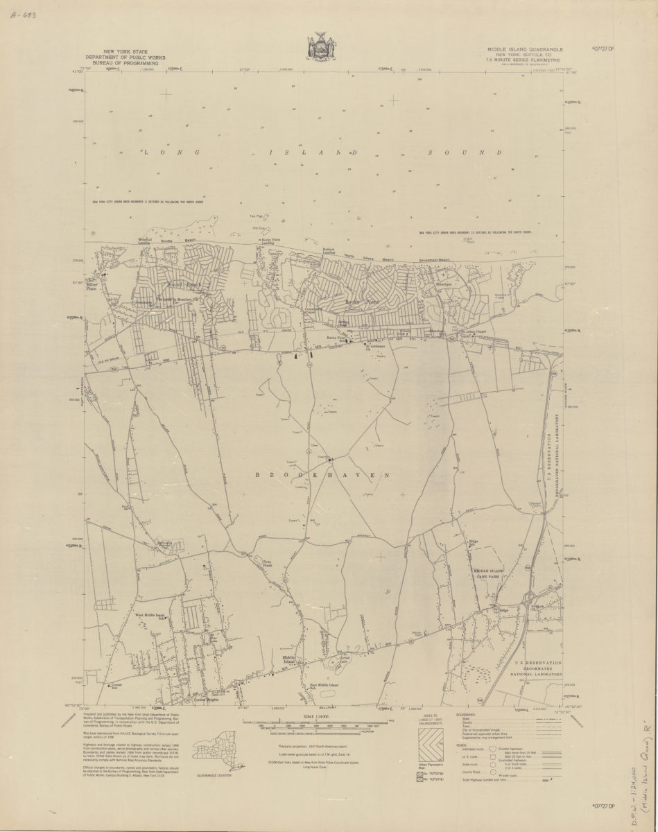
Middle Island quadrangle, New York–Suffolk Co
Middle Island quadrangle, New York–Suffolk Co
[1966]
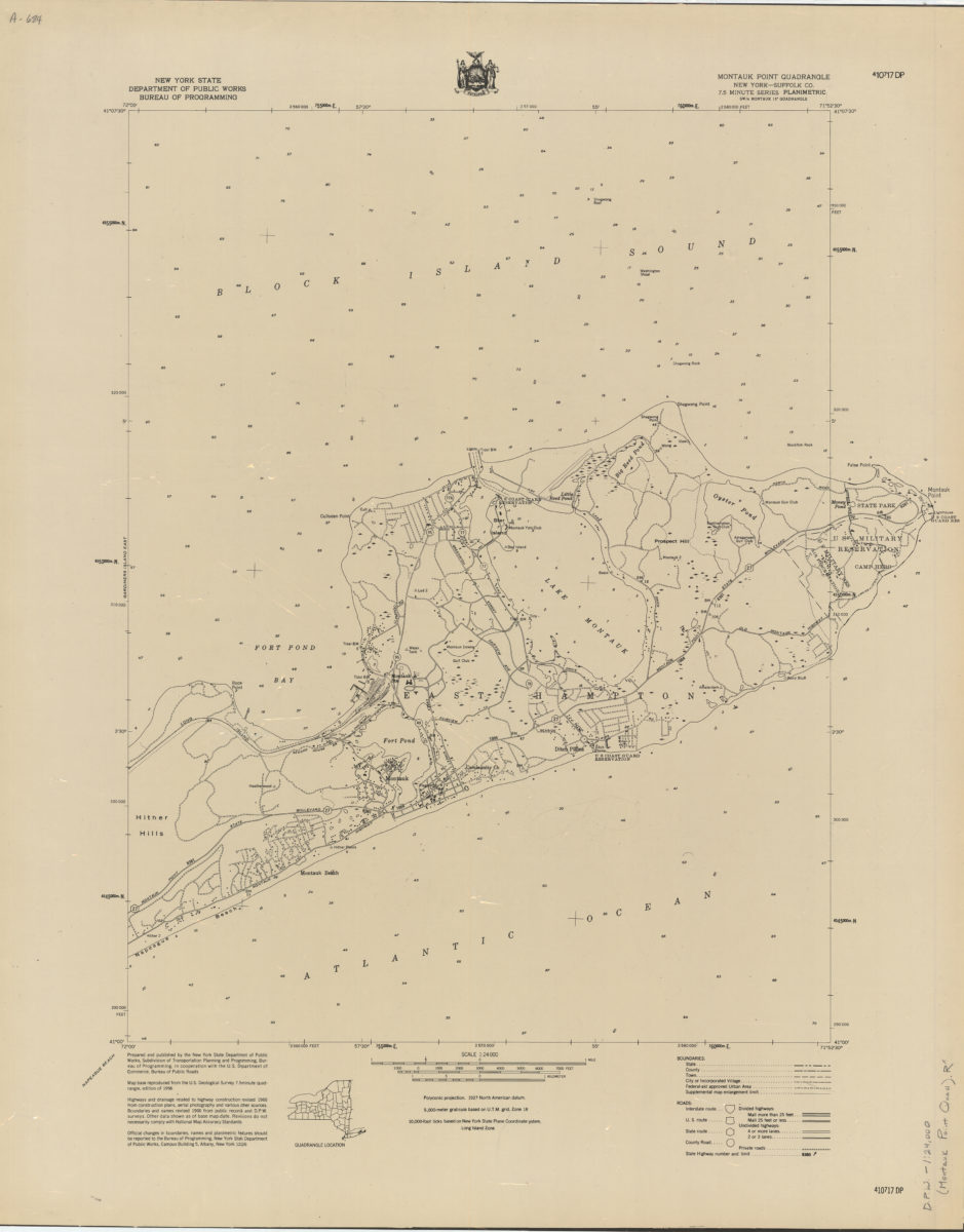
Montauk Point quadrangle, New York–Suffolk Co
Montauk Point quadrangle, New York–Suffolk Co
[1966]
Moriches quadrangle, New York–Suffolk Co
Moriches quadrangle, New York–Suffolk Co
[1966]
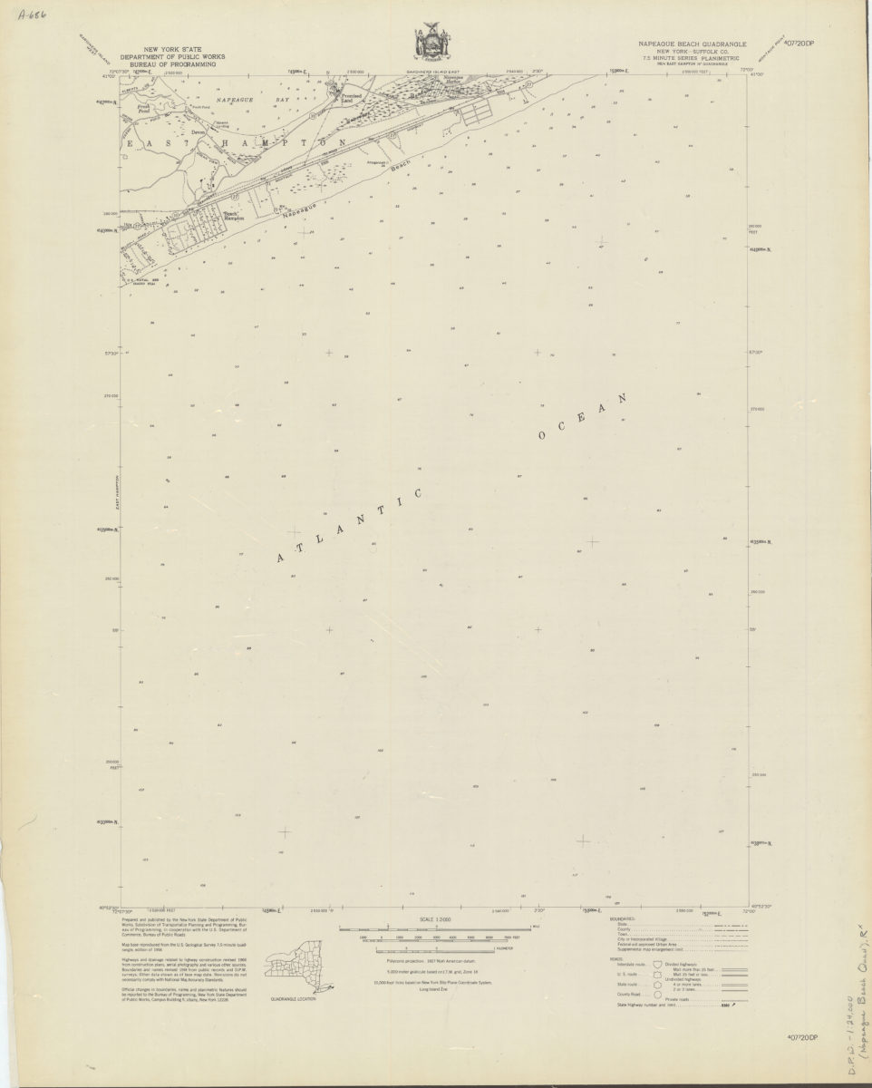
Napeague Beach quadrangle, New York–Suffolk Co
Napeague Beach quadrangle, New York–Suffolk Co
[1966]
Northport quadrangle, New York–Suffolk Co
Northport quadrangle, New York–Suffolk Co
[1966]
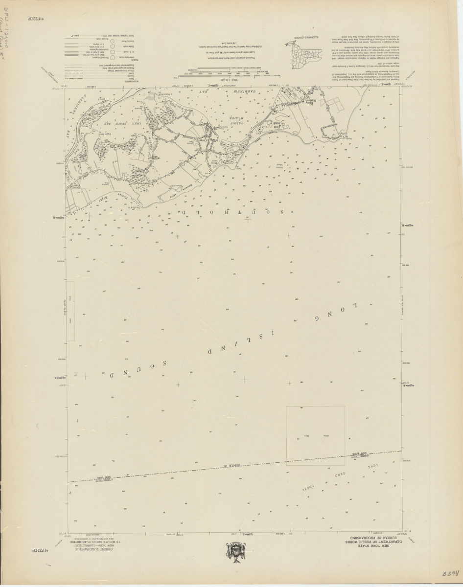
Orient quadrangle, New York–Connecticut
Orient quadrangle, New York–Connecticut
[1966]
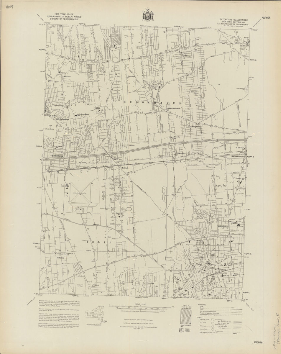
Patchogue quadrangle, New York–Suffolk Co
Patchogue quadrangle, New York–Suffolk Co
[1966]
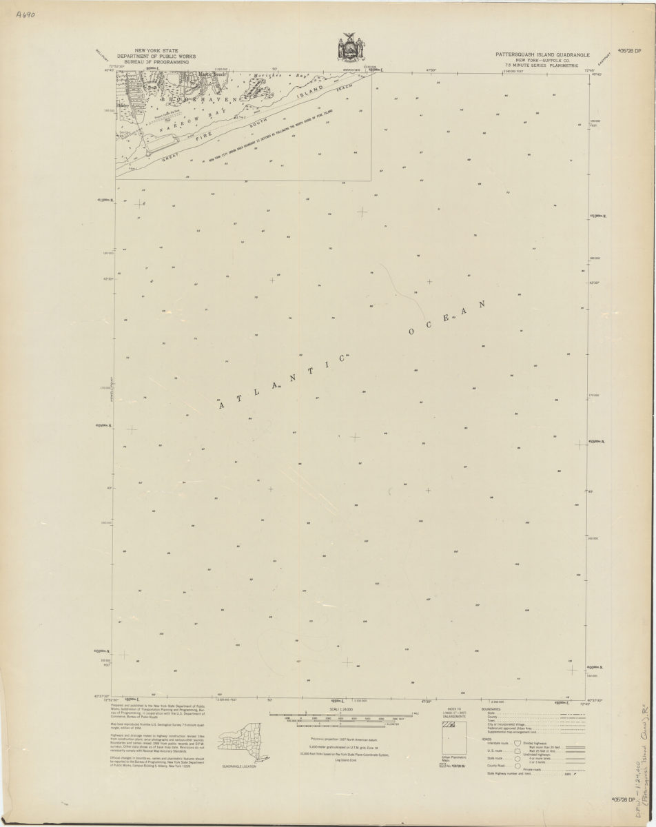
Pattersquash Island quadrangle, New York–Suffolk Co
Pattersquash Island quadrangle, New York–Suffolk Co
[1966]
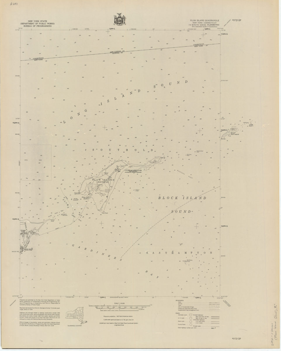
Plum Island quadrangle, New York–Connecticut
Plum Island quadrangle, New York–Connecticut
[1966]
Port Jefferson quadrangle, New York–Suffolk Co
Port Jefferson quadrangle, New York–Suffolk Co
[1966]
Quogue quadrangle, New York–Suffolk Co
Quogue quadrangle, New York–Suffolk Co
[1966]
Riverhead quadrangle, New York–Suffolk Co
Riverhead quadrangle, New York–Suffolk Co
[1966]
Sayville quadrangle, New York–Suffolk Co
Sayville quadrangle, New York–Suffolk Co
[1966]
Shinnecock Inlet quadrangle, New York
Shinnecock Inlet quadrangle, New York
[1966]
Southampton quadrangle, New York–Suffolk Co
Southampton quadrangle, New York–Suffolk Co
[1966]
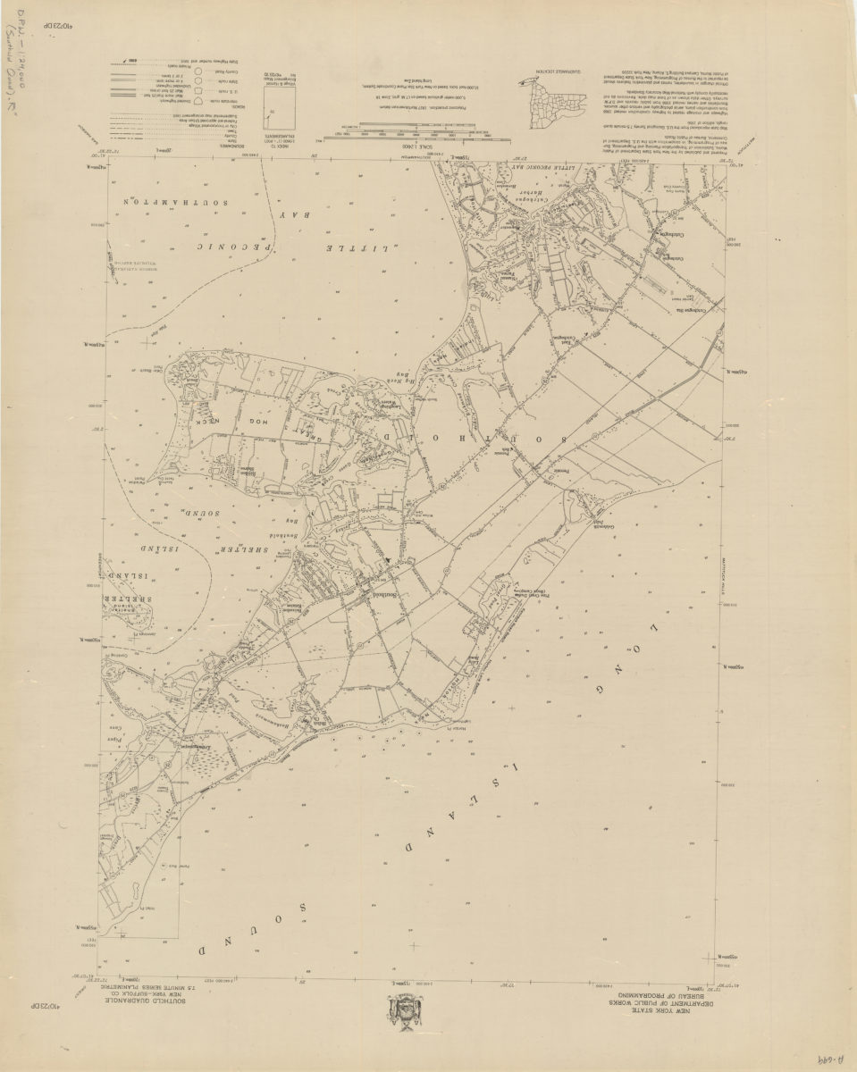
Southold quadrangle, New York–Suffolk Co
Southold quadrangle, New York–Suffolk Co
[1966]
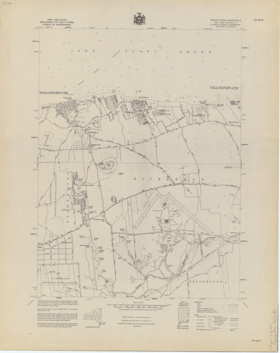
Wading River quadrangle, New York–Suffolk Co
Wading River quadrangle, New York–Suffolk Co
[1966]
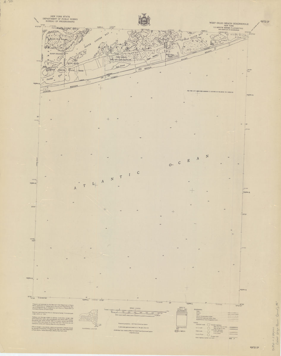
West Gilgo Beach quadrangle, New York
West Gilgo Beach quadrangle, New York
[1966]
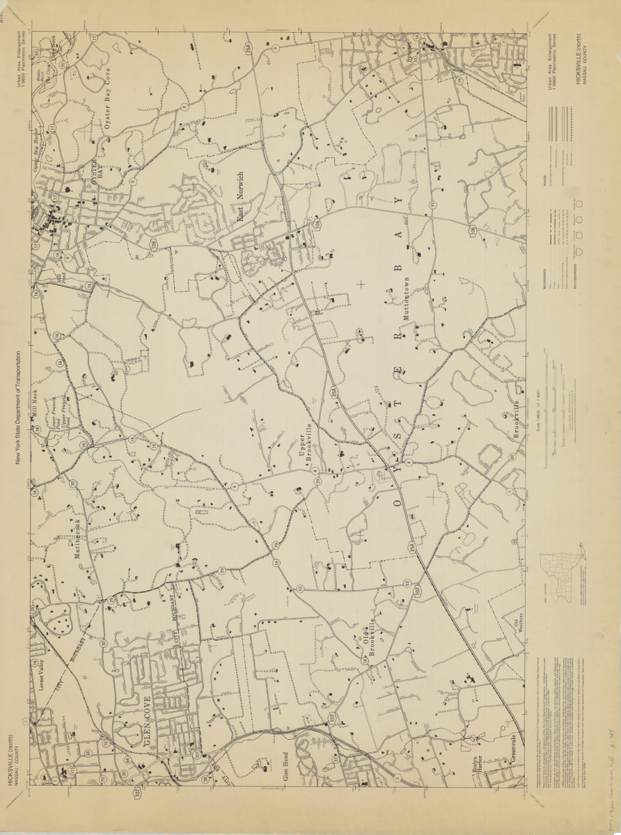
Hicksville (north)-Nassau County: New York State Department of Transportation
Hicksville (north)-Nassau County: New York State Department of Transportation
[1966]
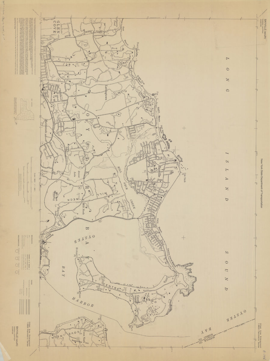
Bayville (south)-Nassau-Suffolk Counties: New York State Department of Transportation
Bayville (south)-Nassau-Suffolk Counties: New York State Department of Transportation
[1966]
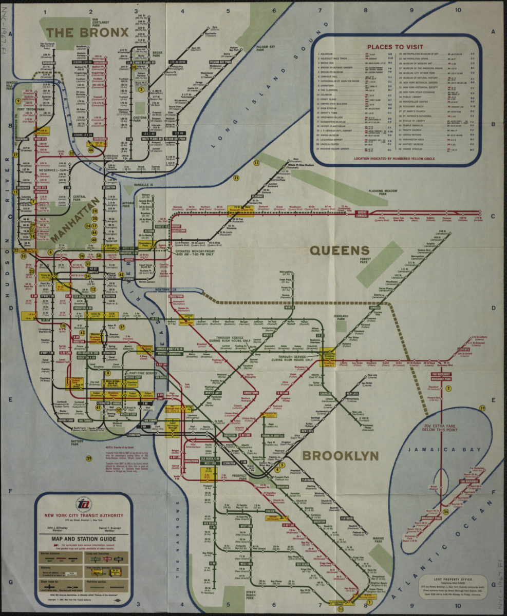
Map and station guide: New York City Transit Authority
Map and station guide: New York City Transit Authority
[ca. 1967]
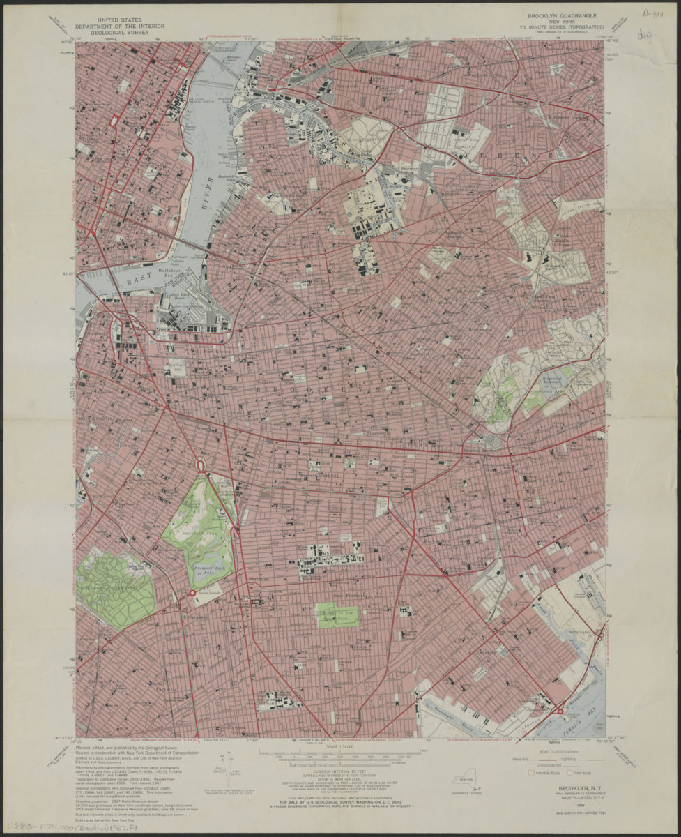
Brooklyn quadrangle, New York
Brooklyn quadrangle, New York
1967
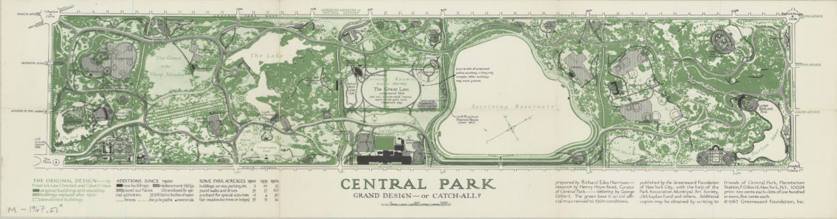
Central Park, grand design–or catch-all?: prepared by Richard Edes Harrison ; research by Henry Hope Reed, curator of Central Park ; lettering by George Colbert
Central Park, grand design–or catch-all?: prepared by Richard Edes Harrison ; research by Henry Hope Reed, curator of Central Park ; lettering by George Colbert
[ca. 1967]
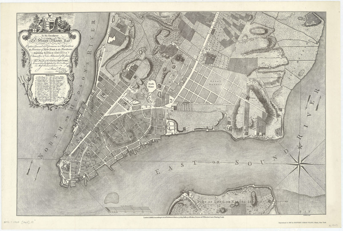
To His Excellency Sr. Henry Moore, Bart. … this plan of the city of New York, is most humbly inscribed: by … Bernd. Ratzer
To His Excellency Sr. Henry Moore, Bart. … this plan of the city of New York, is most humbly inscribed: by … Bernd. Ratzer
1967
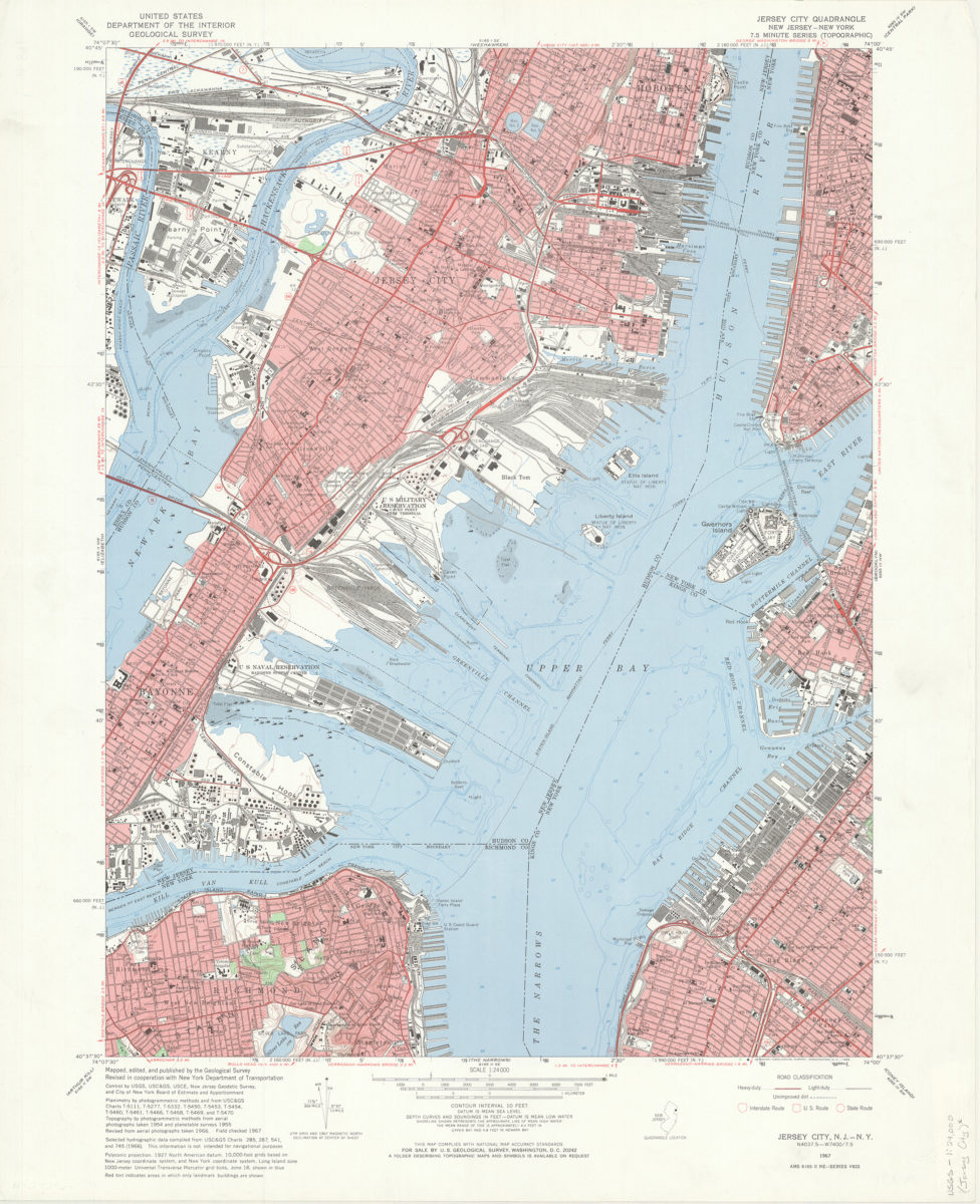
Jersey City quadrangle, New Jersey – New York: mapped, edited, and published by the Geological Survey ; revised in cooperation with New York Dept. of Transportation
Jersey City quadrangle, New Jersey – New York: mapped, edited, and published by the Geological Survey ; revised in cooperation with New York Dept. of Transportation
1967
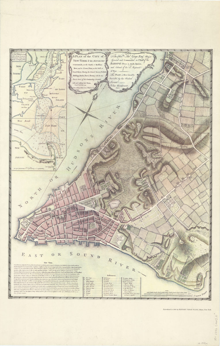
A plan of the city of New-York & its environs: to Greenwich, on the North or Hudsons River, and to Crown Point, on the East or Sound River, shewing [i.e. showing] the several streets, publick [i.e. public] buildings, docks, fort & battery
A plan of the city of New-York & its environs: to Greenwich, on the North or Hudsons River, and to Crown Point, on the East or Sound River, shewing [i.e. showing] the several streets, publick [i.e. public] buildings, docks, fort & battery
1968
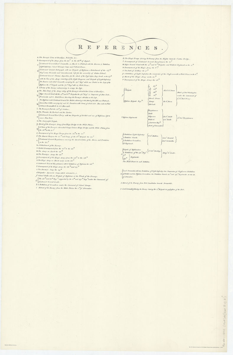
A sketch of the operations of His Majesty’s fleet and army under the command of Vice Admiral the Rt. Hble Lord Viscount Howe and Gen. Wm. Howe, K.B. in 1776
A sketch of the operations of His Majesty’s fleet and army under the command of Vice Admiral the Rt. Hble Lord Viscount Howe and Gen. Wm. Howe, K.B. in 1776
[ca. 1968]
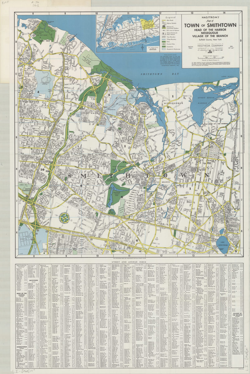
Hagstrom’s map of town of Smithtown, Head of the Harbor, Nissequgue [sic], Village of the Branch, Suffolk County, New York: compiled, printed, and published by Hagstrom Company Incorporated
Hagstrom’s map of town of Smithtown, Head of the Harbor, Nissequgue [sic], Village of the Branch, Suffolk County, New York: compiled, printed, and published by Hagstrom Company Incorporated
[1968]
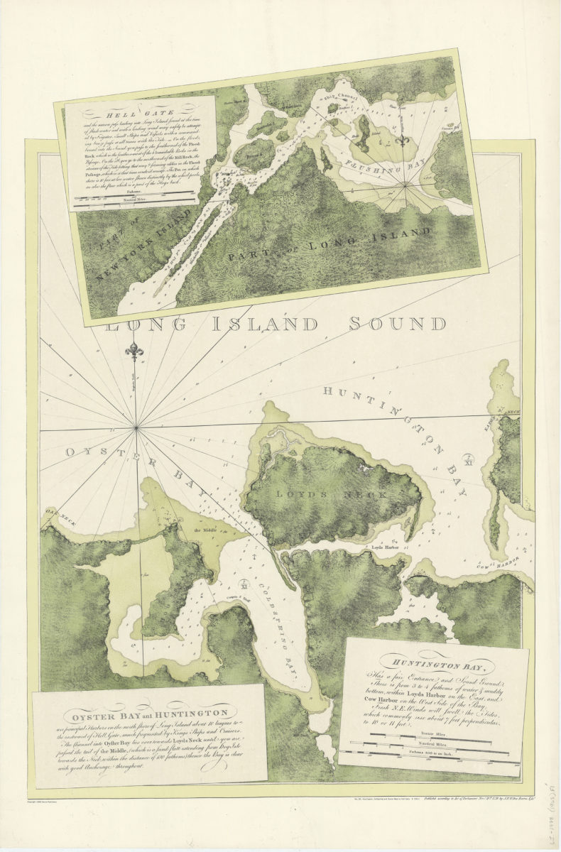
Oyster Bay and Huntington: Huntingon Bay
Oyster Bay and Huntington: Huntingon Bay
[ca. 1968]
Eaton’s Neck to New York Bay
Eaton’s Neck to New York Bay
[ca. 1968]
A chart of New York Harbour: with the soundings, views of land marks, and nautical directions for the use of pilotage: composed from surveys and observations of Lieutenants John Knight, John Hunter of the Navy, & others
A chart of New York Harbour: with the soundings, views of land marks, and nautical directions for the use of pilotage: composed from surveys and observations of Lieutenants John Knight, John Hunter of the Navy, & others
[ca. 1968]
A chart of the coast of New York, New Jersey, Pensilvania, Maryland, Virginia, North Carolina, &c.: composed from the deposit of surveys of the right honourable the Lords of Trade with soundings & nautical remarks from Lt. Jno. Knight of the Navy
A chart of the coast of New York, New Jersey, Pensilvania, Maryland, Virginia, North Carolina, &c.: composed from the deposit of surveys of the right honourable the Lords of Trade with soundings & nautical remarks from Lt. Jno. Knight of the Navy
1968
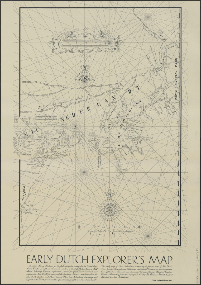
Early Dutch explorer’s map
Early Dutch explorer’s map
[ca. 1968]
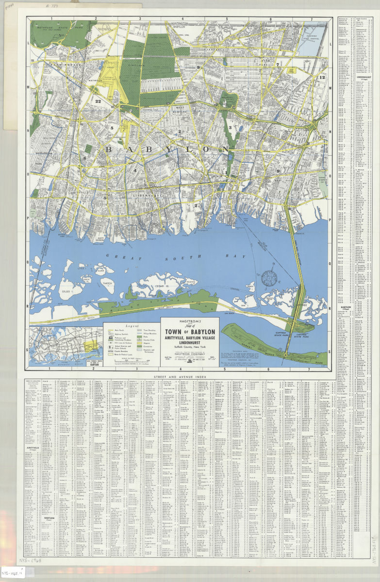
Hagstrom’s street and road map of Town of Babylon: Amityville, Babylon Village, Lindenhurst, Suffolk County, Long Island, N.Y.
Hagstrom’s street and road map of Town of Babylon: Amityville, Babylon Village, Lindenhurst, Suffolk County, Long Island, N.Y.
1968
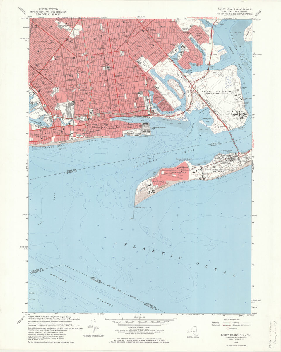
Coney Island quadrangle, New York–New Jersey: 7.5 minute series (topographic): mapped, edited, and published by the Geological Survey ; revised in cooperation with New York Department of Transportation
Coney Island quadrangle, New York–New Jersey: 7.5 minute series (topographic): mapped, edited, and published by the Geological Survey ; revised in cooperation with New York Department of Transportation
1968
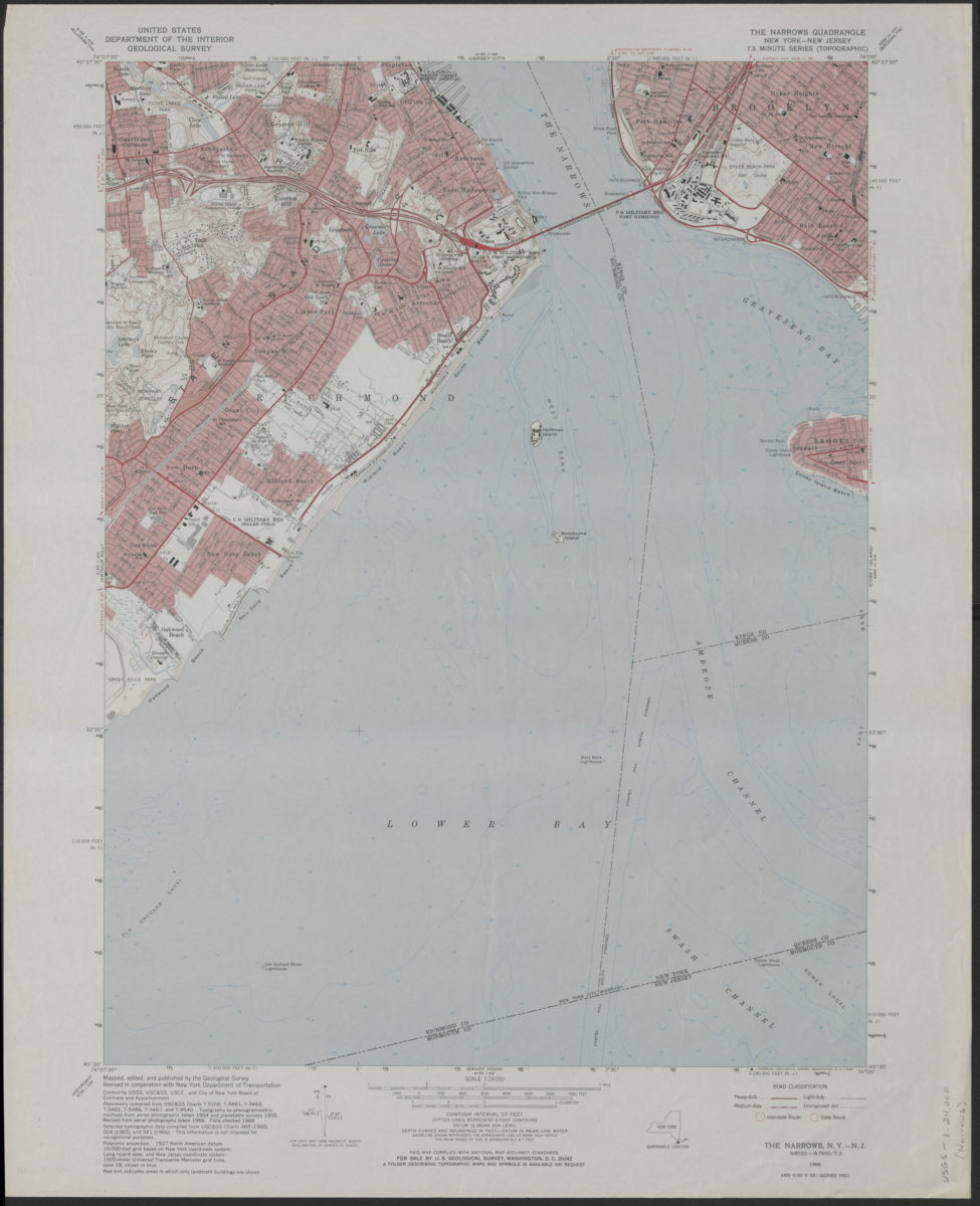
The Narrows quadrangle, New York–New Jersey: 7.5 minute series (topographic): mapped, edited, and published by the Geological Survey ; revised in cooperation with New York Department of Transportation
The Narrows quadrangle, New York–New Jersey: 7.5 minute series (topographic): mapped, edited, and published by the Geological Survey ; revised in cooperation with New York Department of Transportation
1968
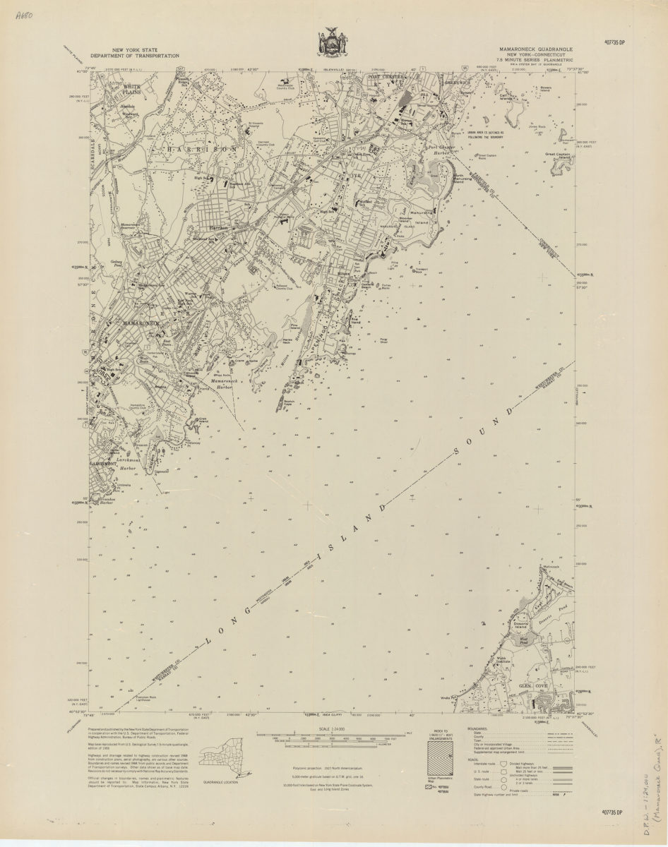
Mamaroneck quadrangle, New York–Connecticut
Mamaroneck quadrangle, New York–Connecticut
[1968]
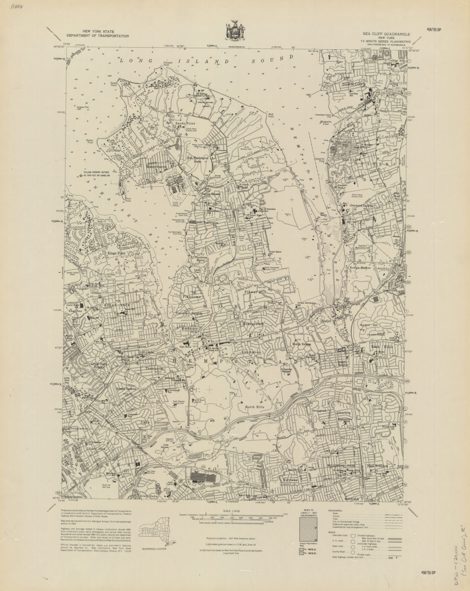
Sea Cliff quadrangle, New York
Sea Cliff quadrangle, New York
[1968]
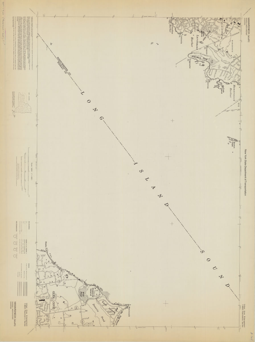
Mamaroneck (south)-Nassau/Westchester Counties: New York State Department of Transportation
Mamaroneck (south)-Nassau/Westchester Counties: New York State Department of Transportation
[1968]
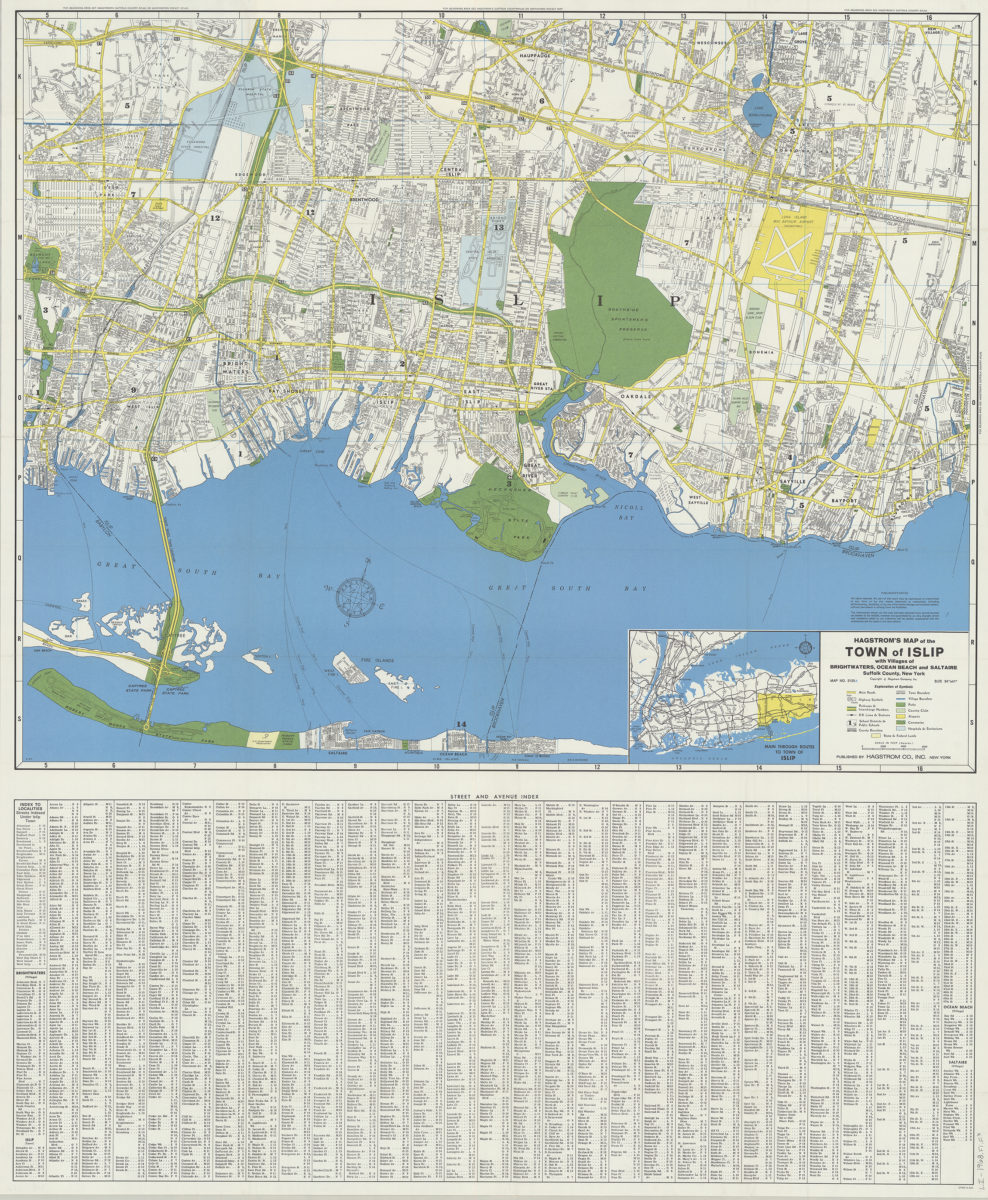
Hagstrom’s map of the Town of Islip: with the villages of Brightwaters, Ocean Beach and Saltaire, Suffolk County, New York
Hagstrom’s map of the Town of Islip: with the villages of Brightwaters, Ocean Beach and Saltaire, Suffolk County, New York
1968
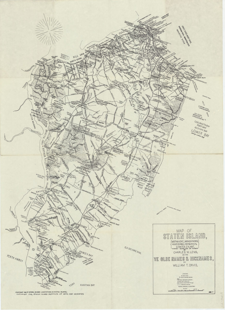
Map of Staten Island: Motanucke, Monocknong, Aquehonga, Eghquaous, Staaten Eylant, Cherry Island, Isle of Mines: by Charles W. Leng ; with ye olde names & nicknames by William T. Davis
Map of Staten Island: Motanucke, Monocknong, Aquehonga, Eghquaous, Staaten Eylant, Cherry Island, Isle of Mines: by Charles W. Leng ; with ye olde names & nicknames by William T. Davis
[ca. 1968]
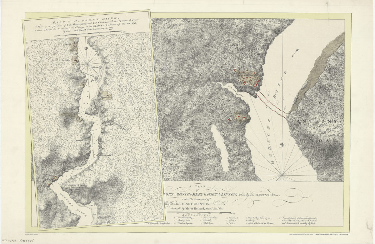
A plan of Fort Montgomery & Fort Clinton, taken by His Majesty’s forces, under the command of Maj. Genl. Sir Henry Clinton, K: B: survey’d by Major Holland, Survr. Genl. &c
A plan of Fort Montgomery & Fort Clinton, taken by His Majesty’s forces, under the command of Maj. Genl. Sir Henry Clinton, K: B: survey’d by Major Holland, Survr. Genl. &c
[1968]
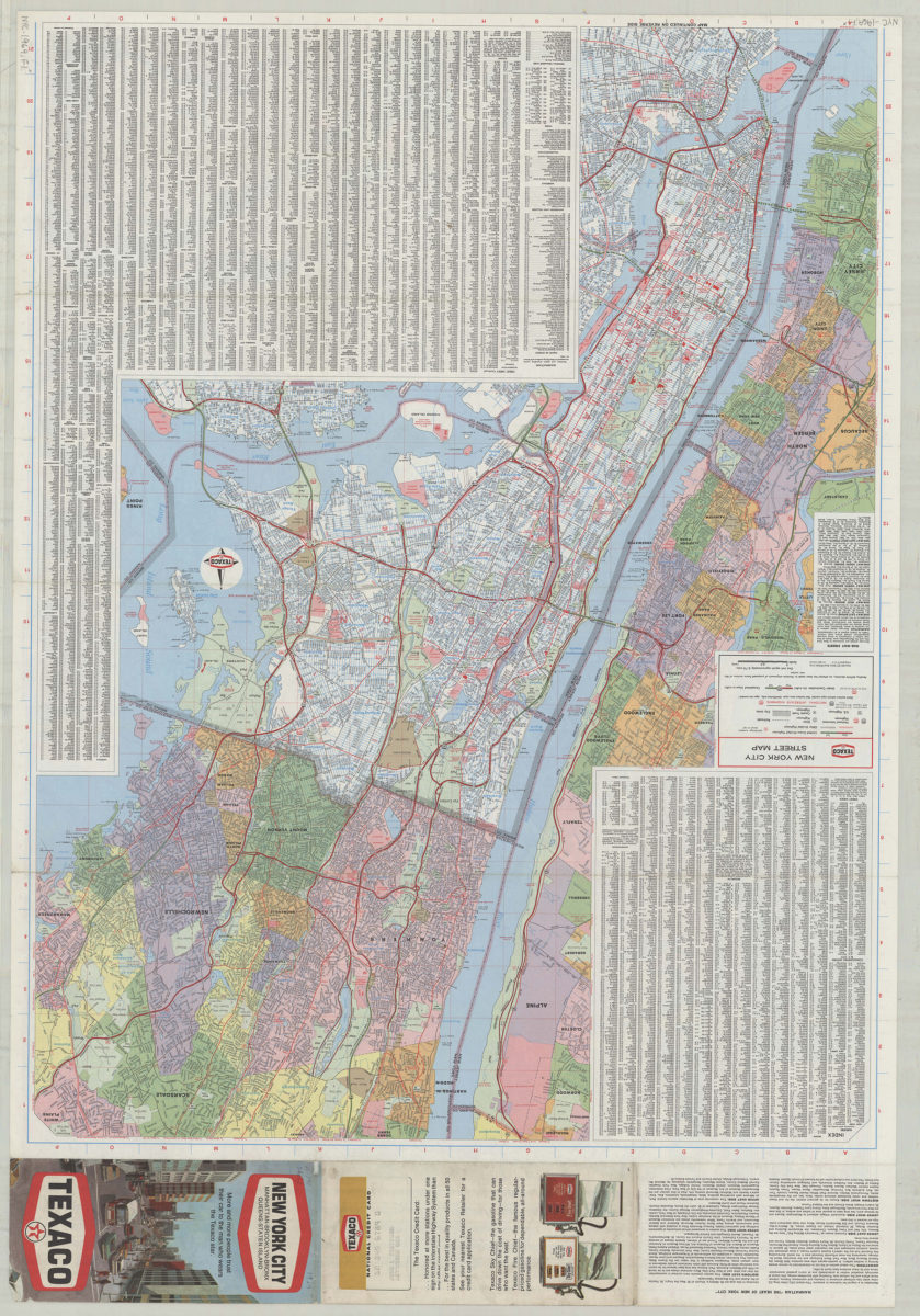
Texaco New York City street map
Texaco New York City street map
[1969; 1969]
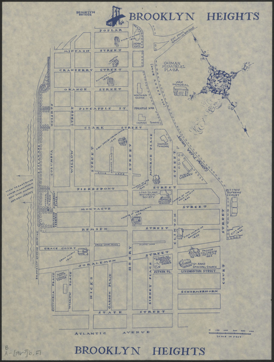
Brooklyn Heights
Brooklyn Heights
[1969]
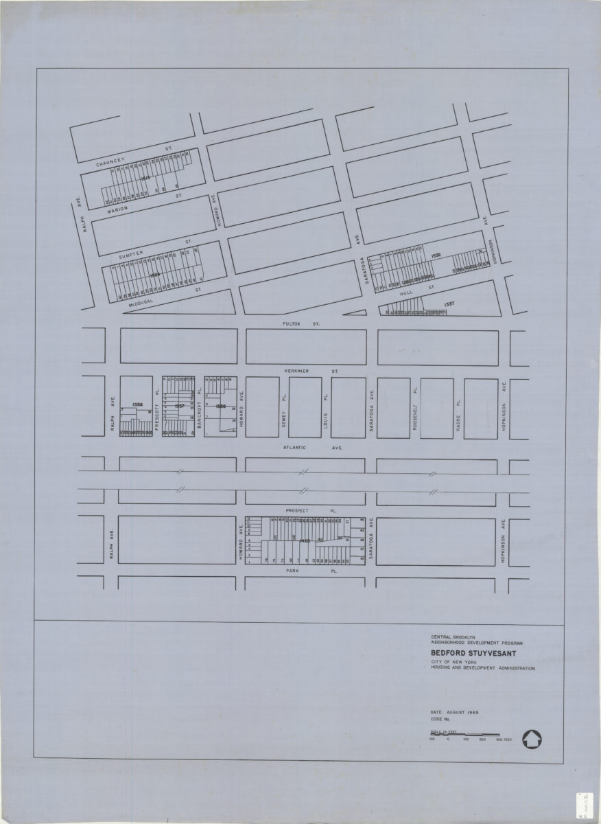
Central Brooklyn Neighborhood Development Program : Bedford Stuyvesant
Central Brooklyn Neighborhood Development Program : Bedford Stuyvesant
1969
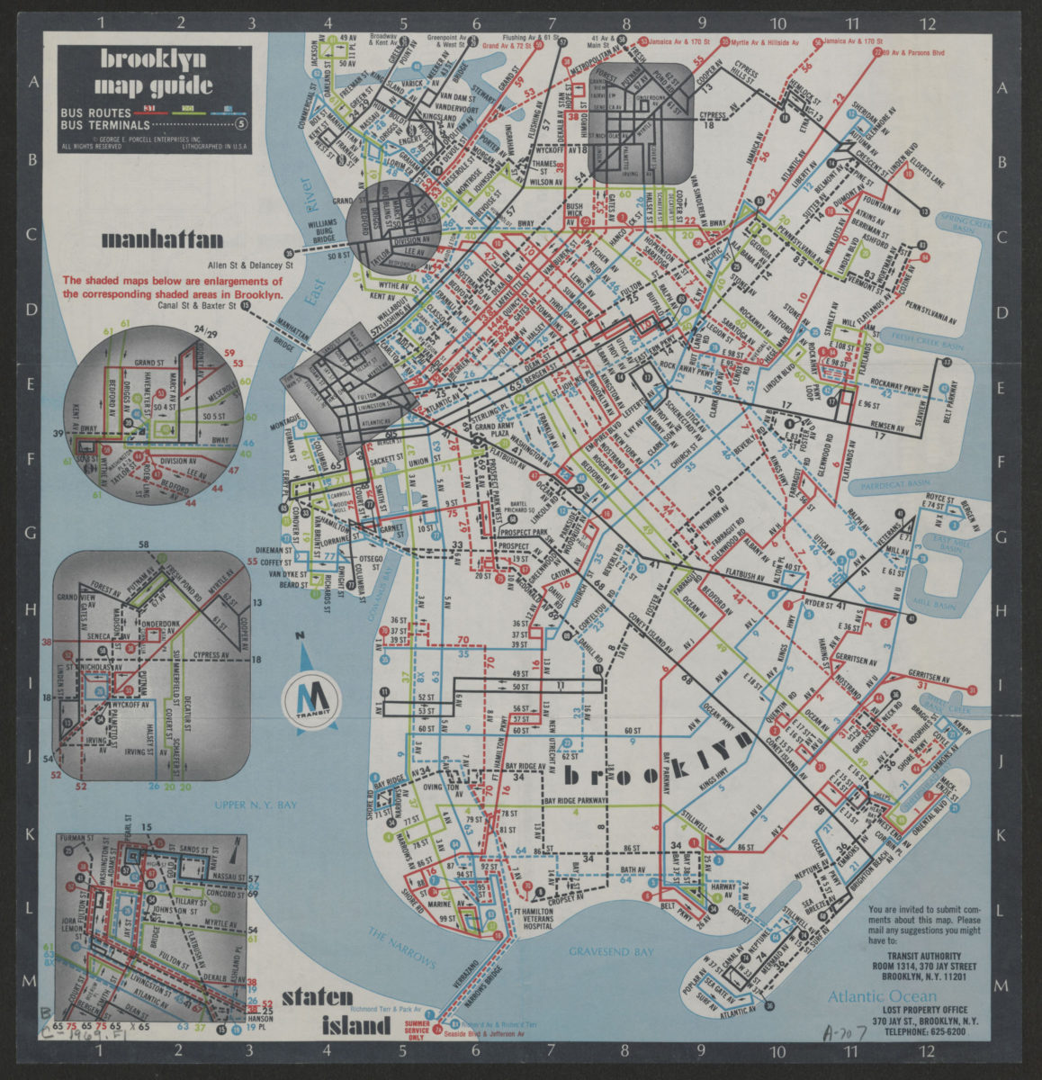
Brooklyn Staten Island bus map: M Transit
Brooklyn Staten Island bus map: M Transit
[ca. 1969]
Previous
1
2
3
4
5
6
7
8
9
10
Next