
17th Ward: election districts, 1888 [1888]
Map No. B A-[1888].Fl.F
Covers modern-day Greenpoint. Oriented with north to the upper left.
Map area shown
Genre
Manuscript mapsRelation
Full catalog recordSize
55 × 76 cmDownload
Low Resolution Image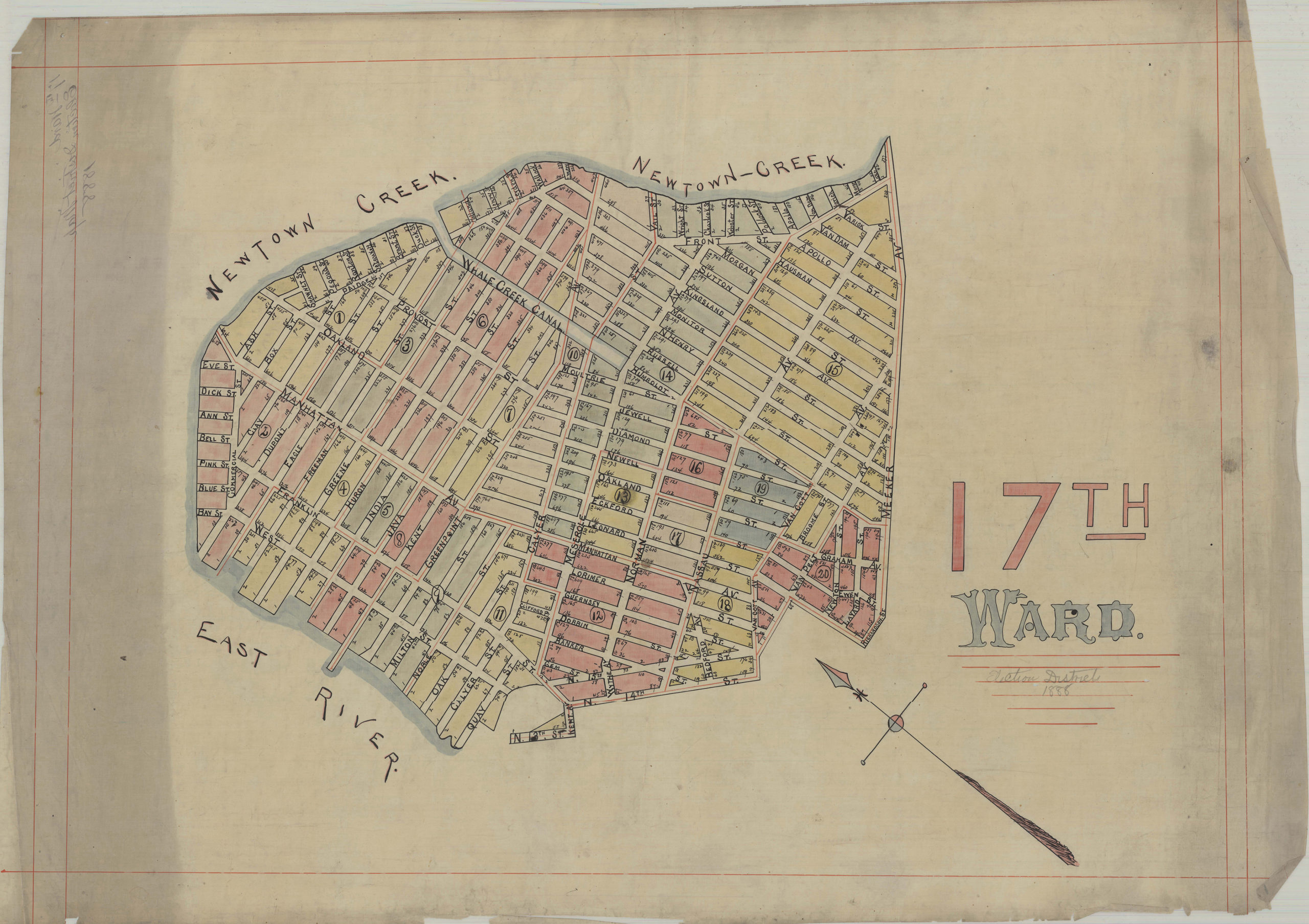
Creator
Publisher
Brooklyn Historical SocietyCitation
17th Ward: election districts, 1888; [1888], Map Collection, B A-[1888].Fl.F; Brooklyn Historical Society.Scale
Scale not givenLoading zoom image... 