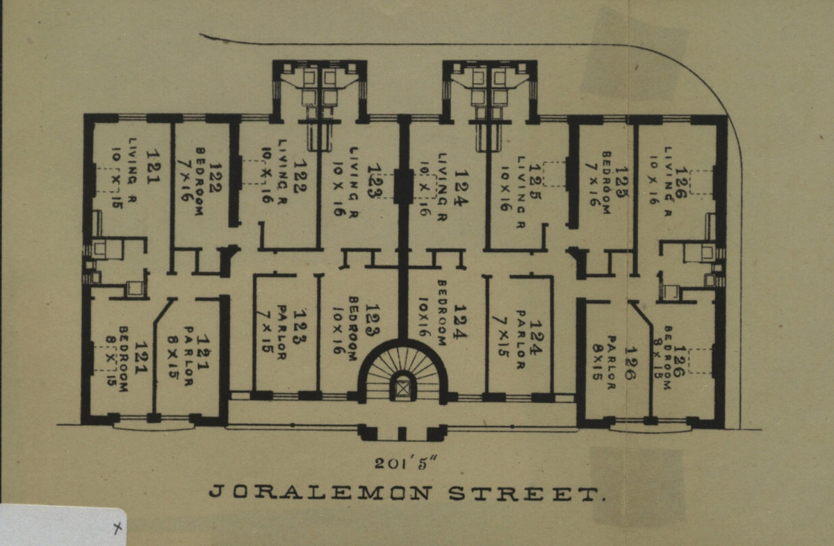
201’5” Joralemon Street [189?]
Map No. B P-[189-?]a.Fl
Shows the Riverside Buildings in modern-day Brooklyn Heights. Extracted from an unknown publication.
Subjects
Places
Map area shown
Genre
MapRelation
Full catalog recordSize
12 × 17 cmDownload
Low Resolution ImageCreator
Publisher
Brooklyn Historical SocietyCitation
201’5” Joralemon Street; [189?], Map Collection, B P-[189-?]a.Fl; Brooklyn Historical Society.Scale
Scale not givenLoading zoom image...