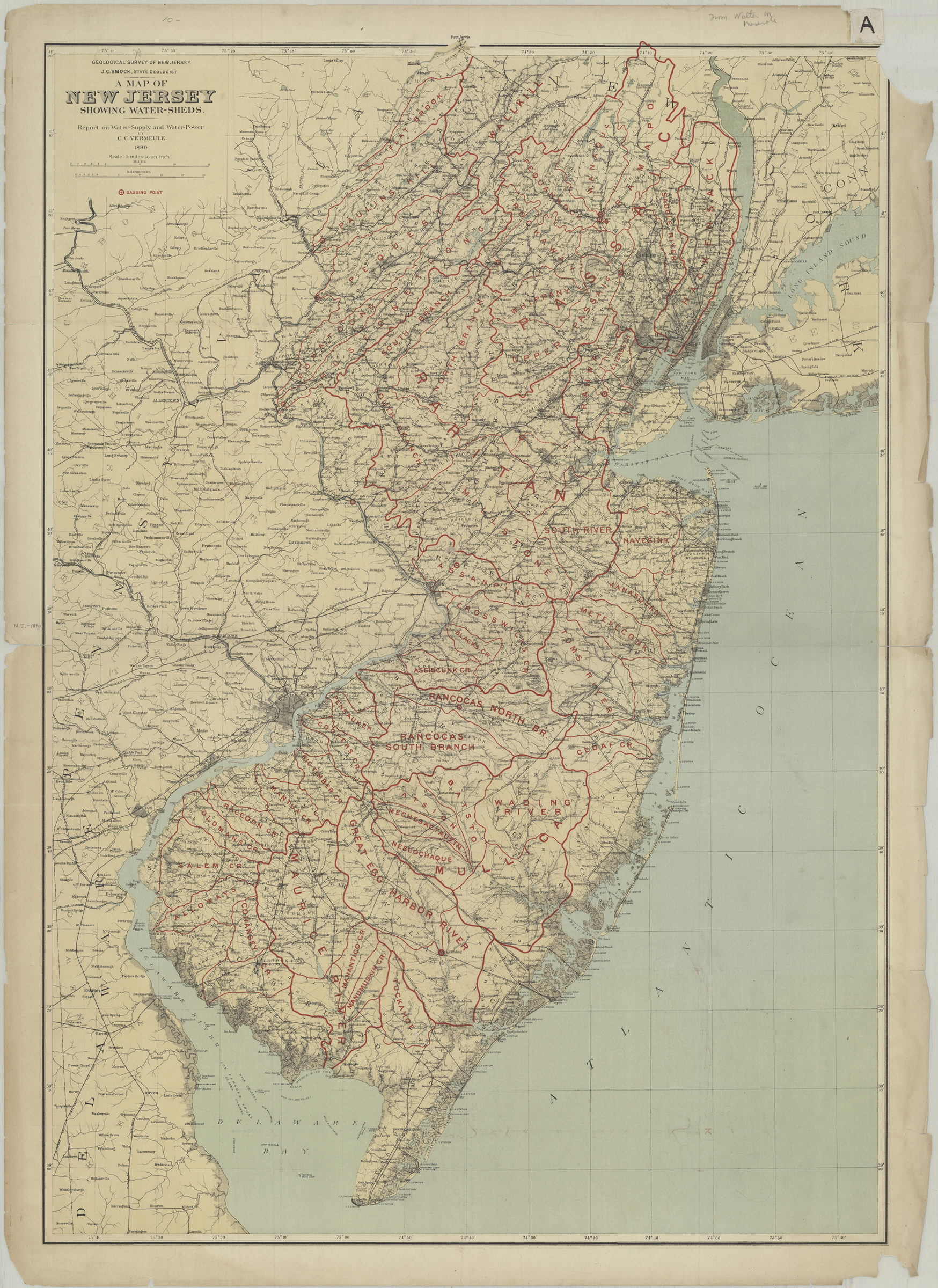
A map of New Jersey showing water-sheds: report on water-supply and water-power: by C.C. Vermeule 1890
Map No. N.J. 1890a.Fl
Also covers New York City.
Map area shown
Genre
Nautical mapsRelation
Full catalog recordSize
88 × 63 cmDownload
Low Resolution Image
Creator
Geological Survey of New Jersey,Publisher
Brooklyn Historical SocietyCitation
A map of New Jersey showing water-sheds: report on water-supply and water-power: by C.C. Vermeule; 1890, Map Collection, N.J. 1890a.Fl; Brooklyn Historical Society.Scale
Scale [1:316,800] 1 in toLoading zoom image... 