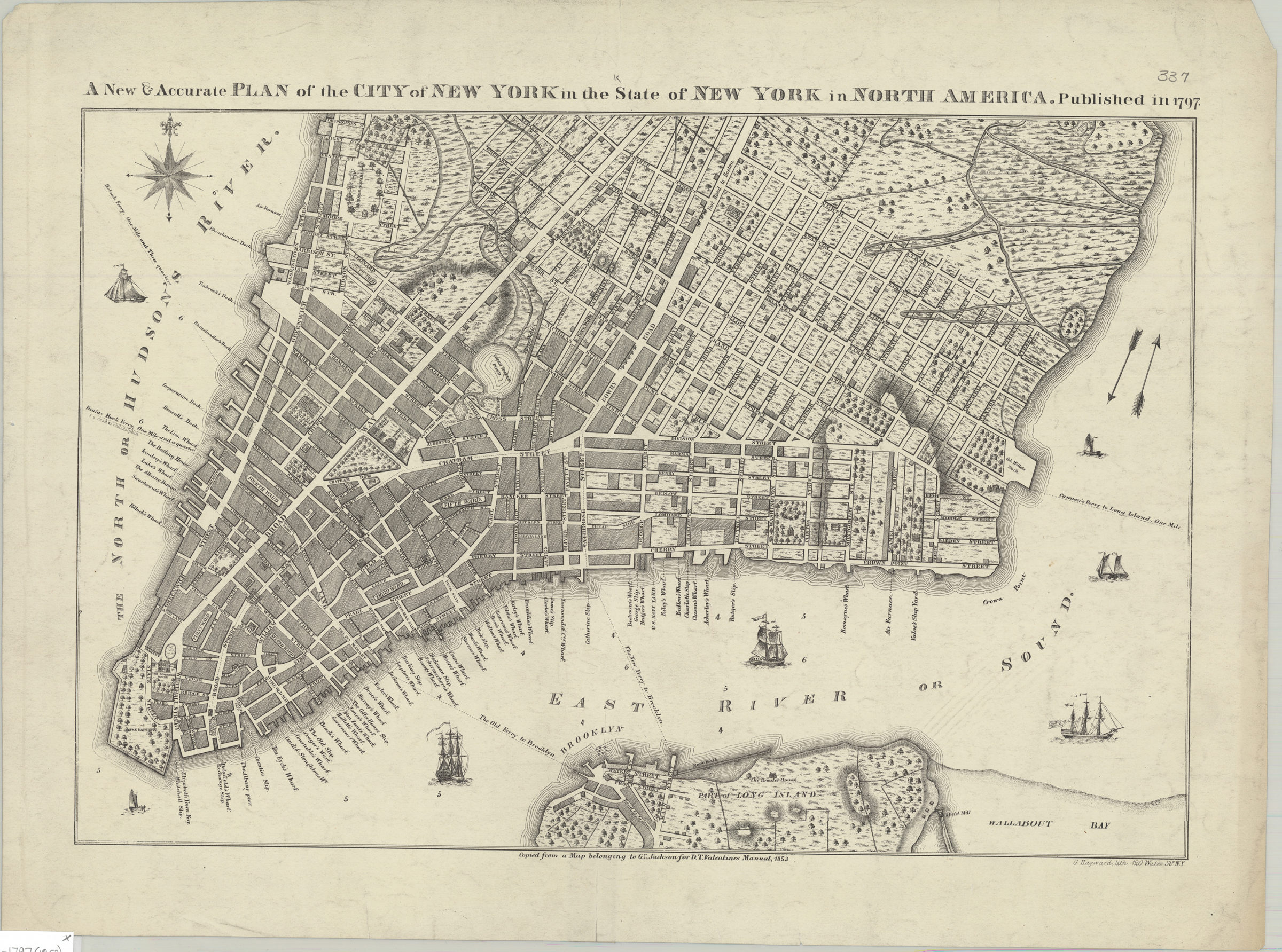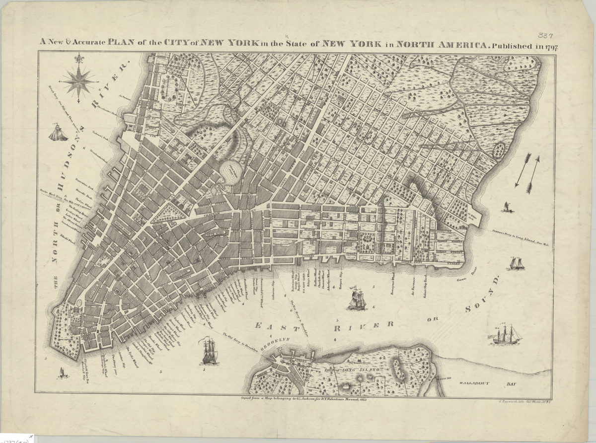
A new & accurate plan of the City of New York in the State of New York in North America, published in 1797 [1853]
Map No. M-1797 (1853).Fl
Covers lower Manhattan south of North Street. Shows wards, streets, wharves, buildings, and ferry routes with distances. Margin title. Relief shown by hachures. Depths shown by soundings. “Copied from a Map belonging to G.R. Jackson for D.T. Valentines Manual, 1853.”
Map area shown
Genre
MapRelation
Full catalog recordSize
35 × 52 cmDownload
Low Resolution ImageCreator
Valentine, D. T.; Jackson, G. R.; Hayward, George; New York (N.Y.),Publisher
Brooklyn Historical SocietyCitation
A new & accurate plan of the City of New York in the State of New York in North America, published in 1797; [1853], Map Collection, M-1797 (1853).Fl; Brooklyn Historical Society.Scale
Scale not givenLoading zoom image... 
