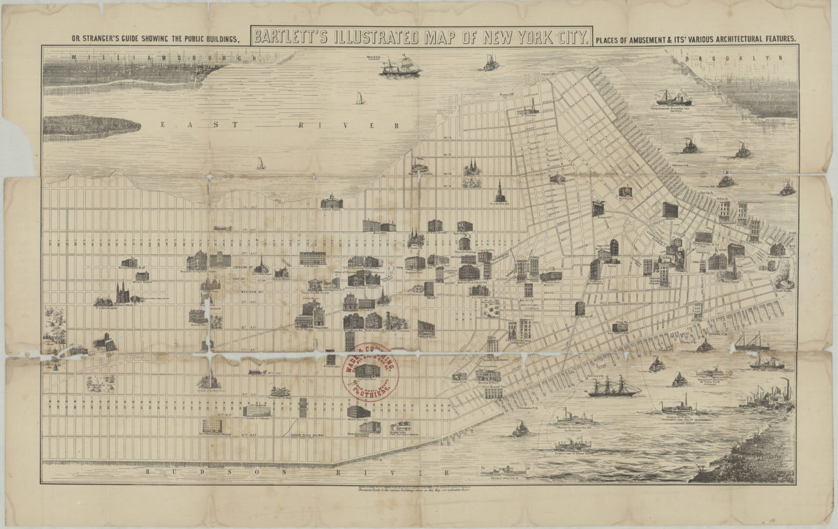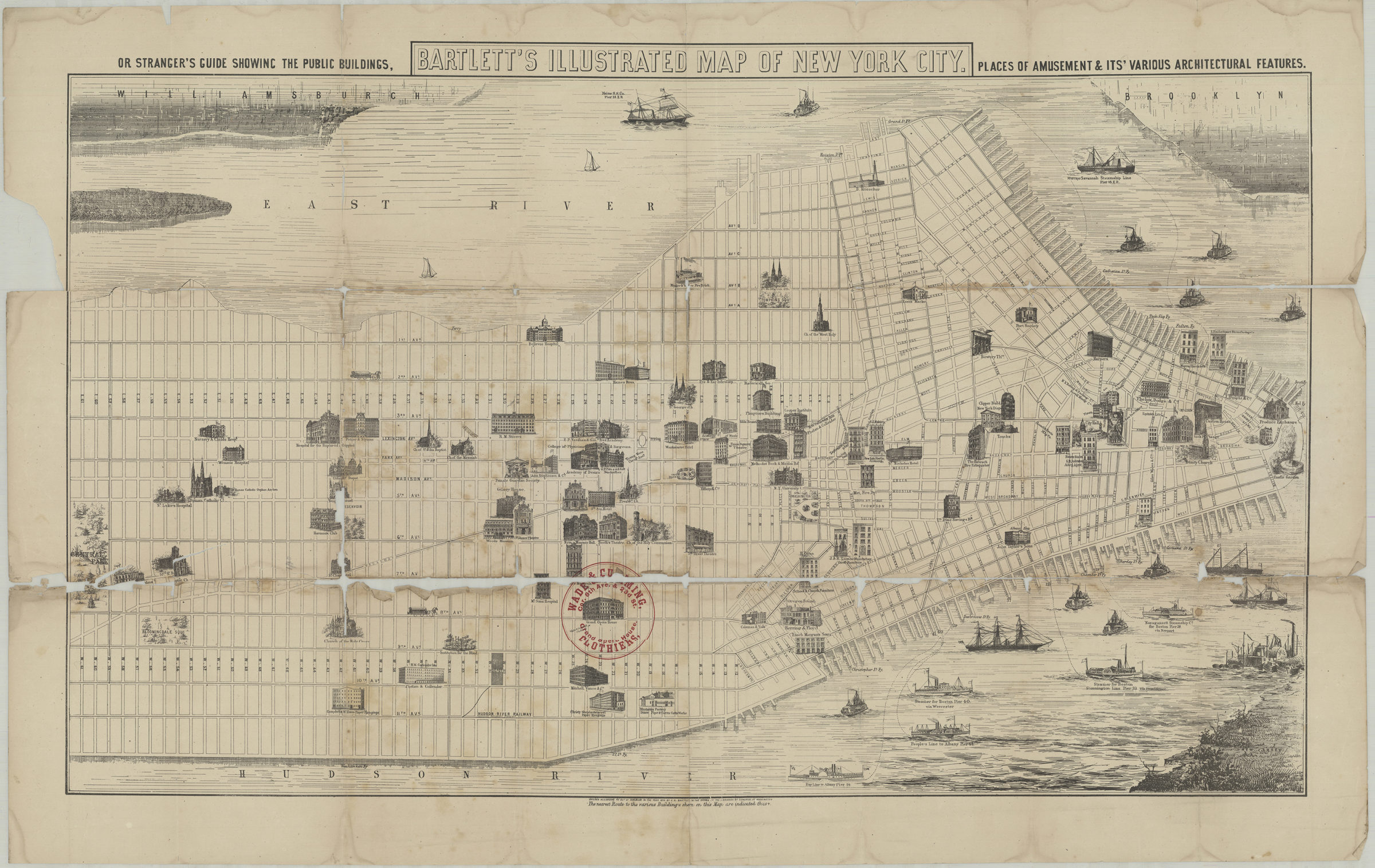
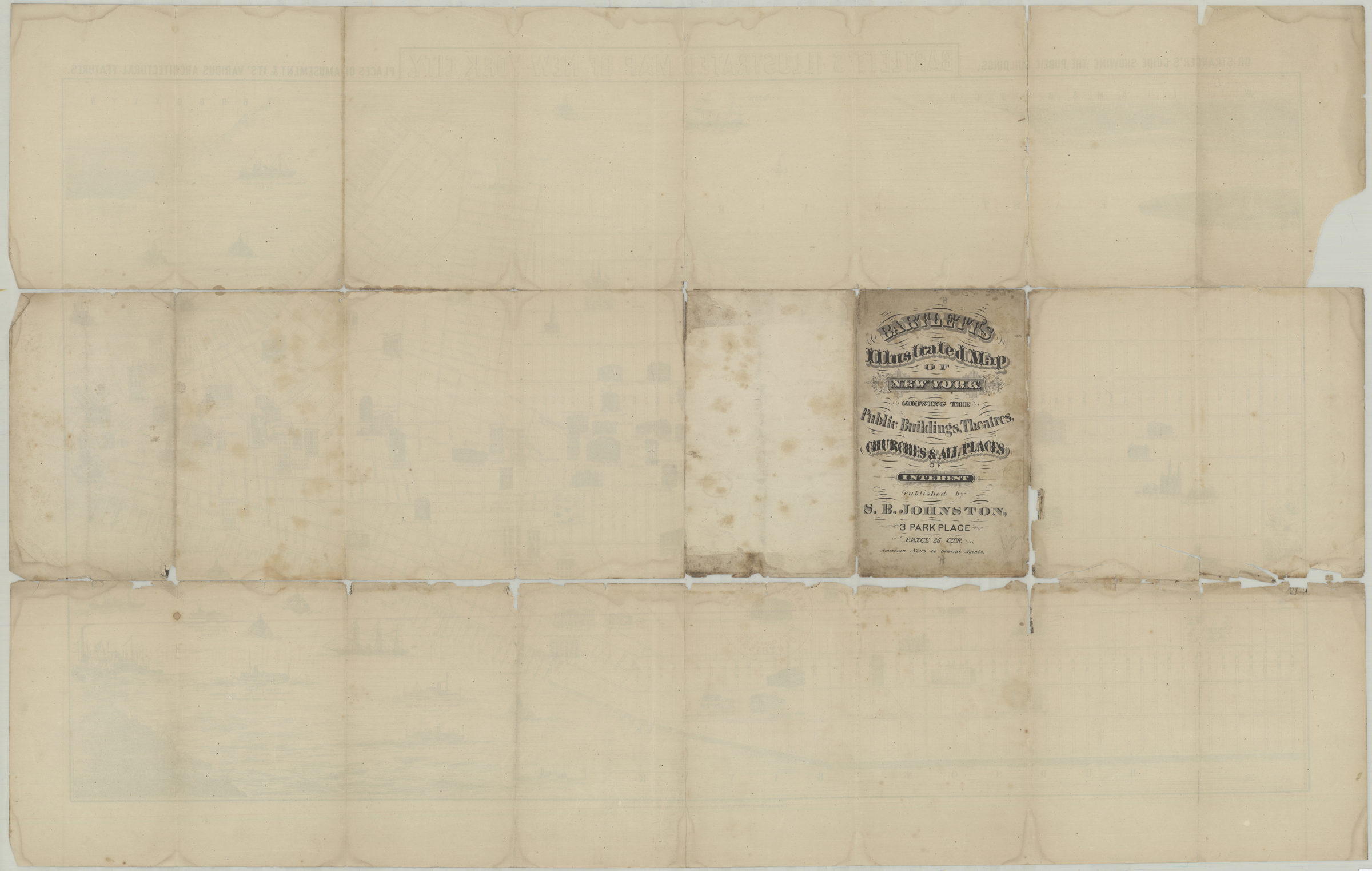
Bartlett’s illustrated map of New York City, or stranger’s guide showing the public buildings, places of amusement and its various architectural features [1870]
Map No. M-[1870].Fl.Folio
Covers Manhattan south of 61st St. Shows streets and landmarks. Relief shown pictorially. “Entered according to Act of Congress in the year 1870 by G.H. Bartlett in the office of the Librarian of Congress in Washington.”
Map area shown
Relation
Full catalog recordSize
52 × 88 cmDownload
Low Resolution Image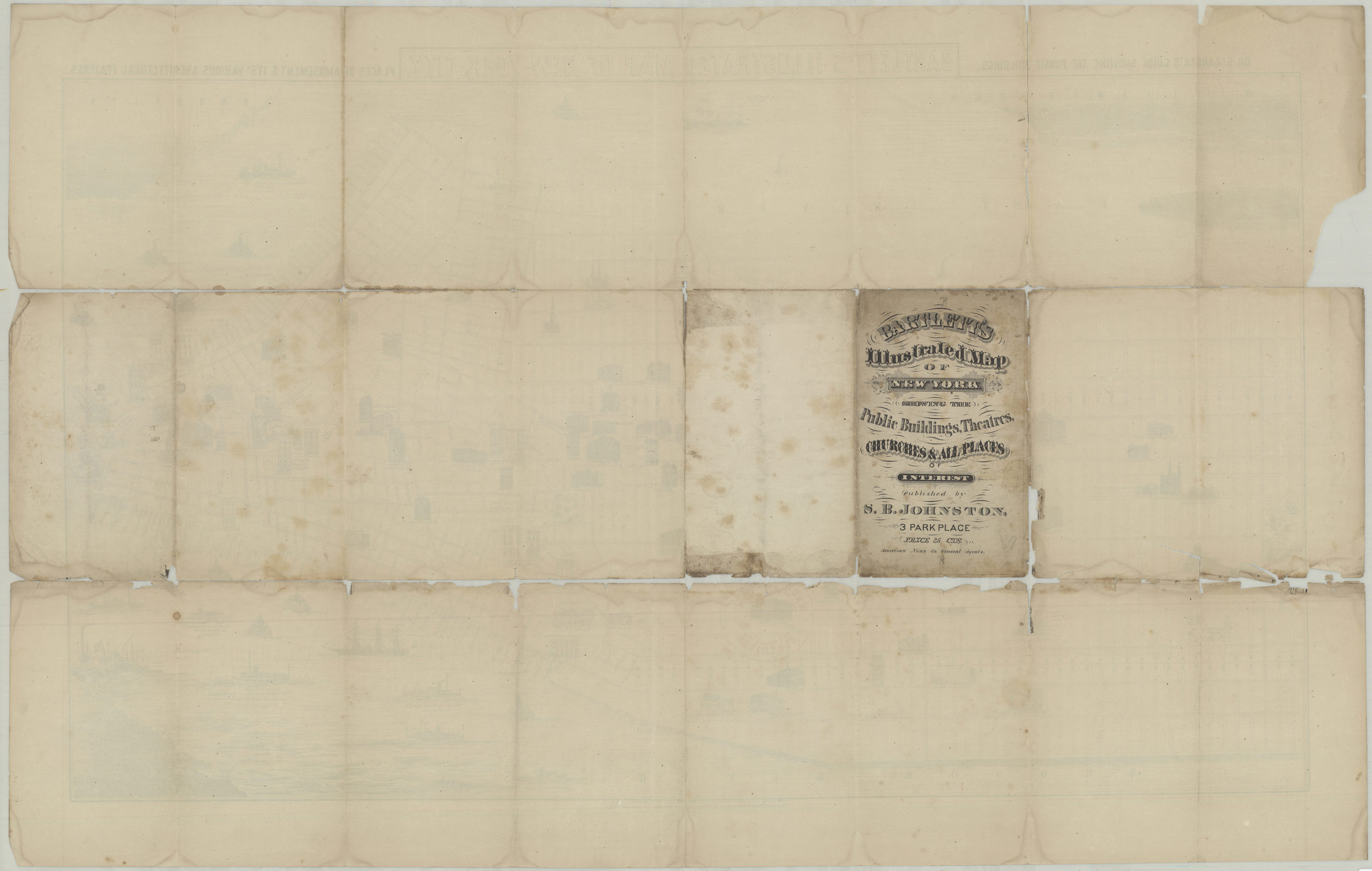
Creator
Bartlett, George Herbert,Publisher
Brooklyn Historical SocietyCitation
Bartlett’s illustrated map of New York City, or stranger’s guide showing the public buildings, places of amusement and its various architectural features; [1870], Map Collection, M-[1870].Fl.Folio; Brooklyn Historical Society.Scale
Scale not givenLoading zoom image...