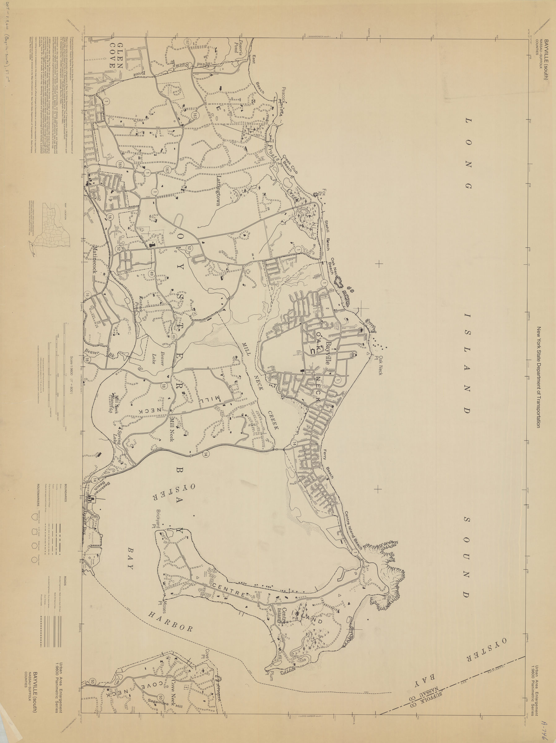
Bayville (south)-Nassau-Suffolk Counties: New York State Department of Transportation [1966]
Map No. DOT-1:9,600 (Bayville-south).Fl.Folio
Covers portions of Nassau and Suffolk Counties. Shows administrative boundaries and roads. “Prepared and published by the New York State Department of Transportation in cooperation with the United States Department of Transportation, Federal Highway Administration.” “This map is produced from: New York State Department of Transportation 1:24,000 planimetric quadrangle, Bayville (1966) U.S. Geologic Survey 1:24,000 topographic quadrangle, Bayville (1954).” Includes location map.
Map area shown
Genre
Transportation mapsRelation
Full catalog recordSize
91 × 121 cmDownload
Low Resolution Image
Creator
New York (State); Department of Transportation,Publisher
Brooklyn Historical SocietyCitation
Bayville (south)-Nassau-Suffolk Counties: New York State Department of Transportation; [1966], Map Collection, DOT-1:9,600 (Bayville-south).Fl.Folio; Brooklyn Historical Society.Scale
Scale 1:9600. 1 in to 800Loading zoom image... 