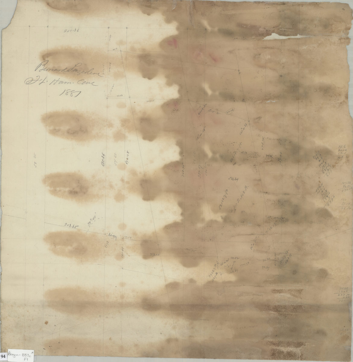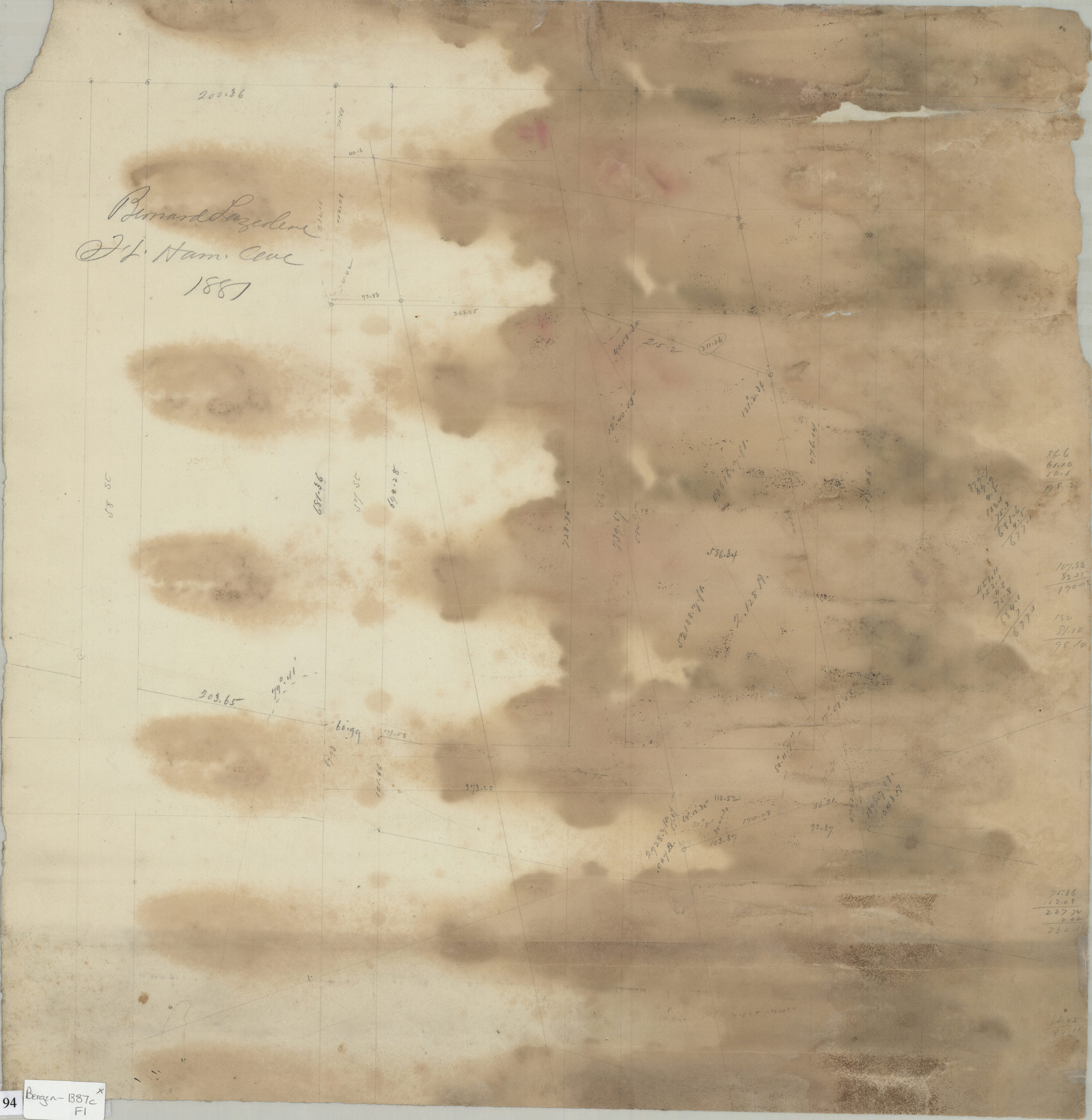
Bernard Largetere, Ft. Hamilton Ave., 1887 1887
Map No. Bergen-1887c.Fl
Cadastral survey map covers area between 58th and 55th Streets near Fort Hamilton Avenue in modern-day Sunset Park. Shows measurements and property lines. Attributed to Van Brunt Bergen, based on handwriting on piece. Includes calculations.
Map area shown
Relation
Full catalog recordSize
49 × 50 cmDownload
Low Resolution Image
Creator
Bergen, Van Brunt,Publisher
Brooklyn Historical SocietyCitation
Bernard Largetere, Ft. Hamilton Ave., 1887; 1887, Map Collection, Bergen-1887c.Fl; Brooklyn Historical Society.Scale
Scale not givenLoading zoom image...