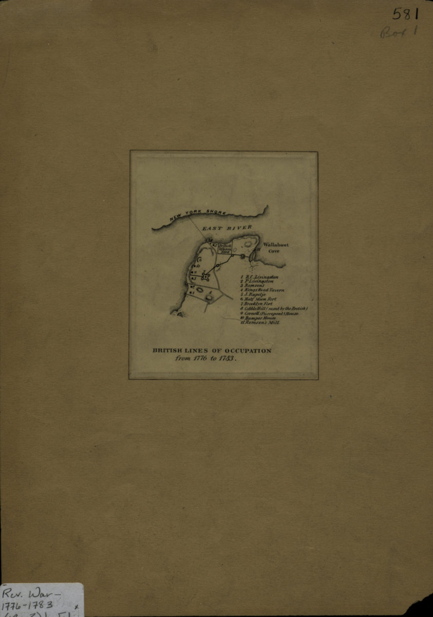
British lines of occupation from 1776 to 1783 [18??]
Map No. Rev. War-1776-1783 (18--?)b.Fl
Covers modern-day DUMBO and Brooklyn Heights. Relief shown by hachures. Includes index.
Places
Map area shown
Genre
Historical mapsRelation
Full catalog recordSize
10 × 8 cmDownload
Low Resolution Image
Creator
Publisher
Brooklyn Historical SocietyCitation
British lines of occupation from 1776 to 1783; [18??], Map Collection, Rev. War-1776-1783 (18--?)b.Fl; Brooklyn Historical Society.Scale
Scale not givenLoading zoom image...