Brooklyn [1897]
Map No. B A-[1897?]c.Fl
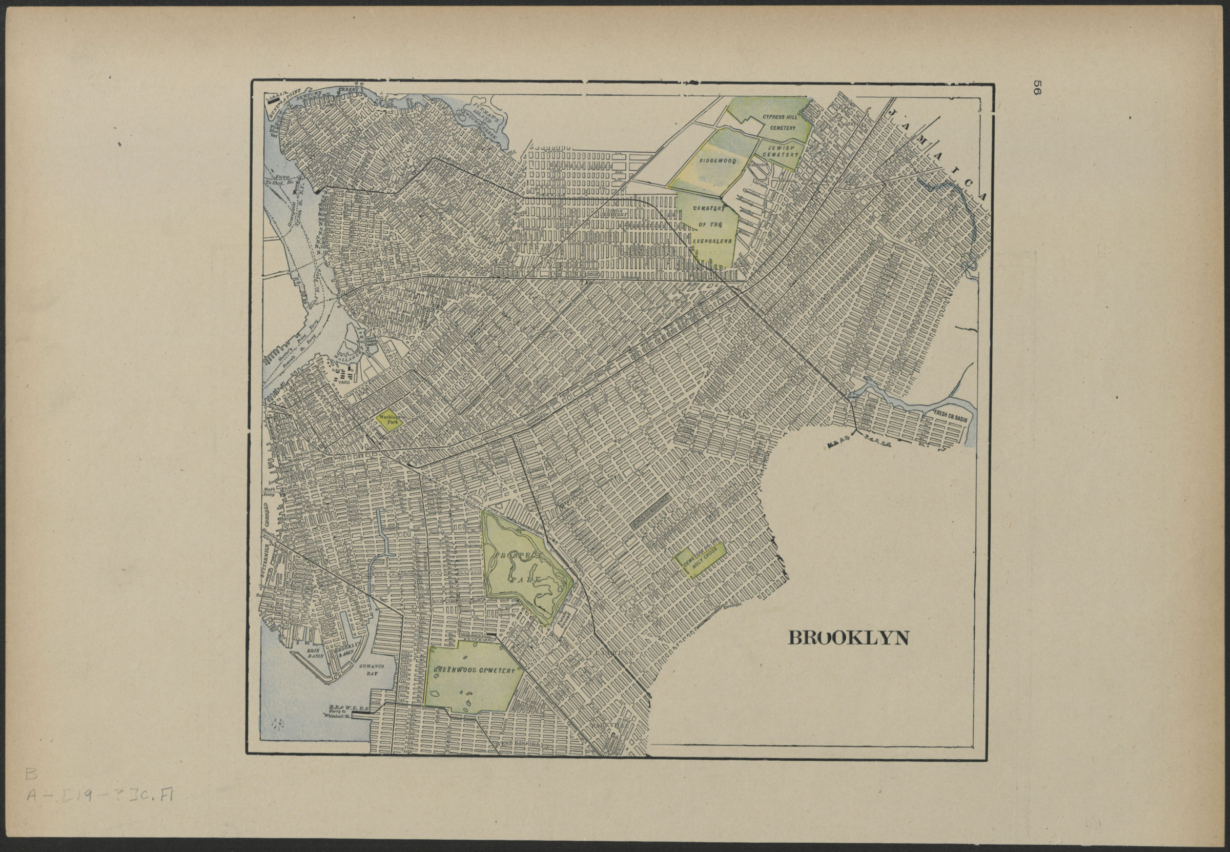
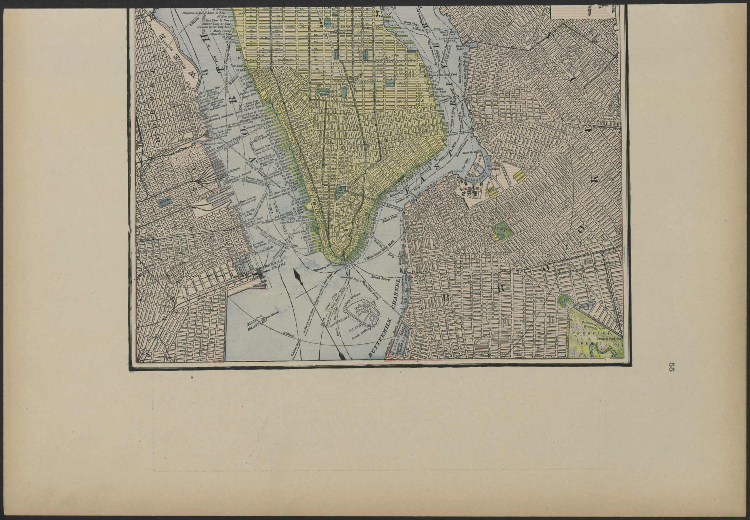
Covers Brooklyn north from 46th St. to Greenpoint and east to East New York. Shows streets, railroads, and ferry lines. Extracted from an unknown atlas. On verso: map of lower Manhattan, including Governor’s Island and portions of New Jersey and Brooklyn. Verso map incomplete due to line of extraction on BHS copy.
Map area shown
Genre
MapRelation
Full catalog recordSize
48 × 32 cmDownload
Low Resolution Image
Creator
Publisher
Brooklyn Historical SocietyCitation
Brooklyn; [1897], Map Collection, B A-[1897?]c.Fl; Brooklyn Historical Society.Scale
Scale not givenLoading zoom image... 