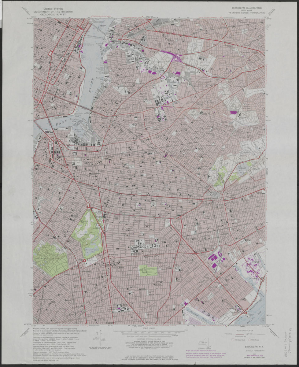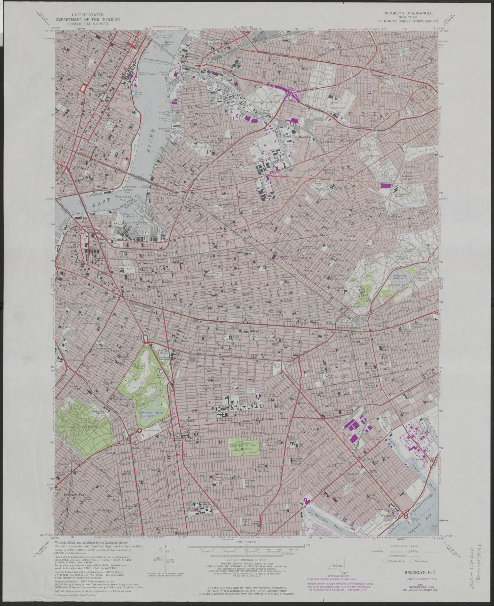
Brooklyn quadrangle, New York: mapped, edited, and published by the Geological Survey ; revised in cooperation with New York Department of Transportation 1979
Map No. USGS-1:24,500 (Brooklyn)1979.Fl
Shows portions of Brooklyn, Manhattan, and Queens. Relief shown by contours and spot heights. “Photorevised 1979.” “Planimetry by photogrammetric methods from aerial photographs taken 1954. Topography by planetable surveys 1955-1956.” “Revisions compiled by the Geological Survey from aerial photographs taken 1977 … not field checked. Map edited 1979.” “Entire area lies within New York City.” “Contour interval 10 feet.” Includes quadrangle location map, metric conversion tables and declination diagram. “AMS 6265 III NW – Series V821.”
Map area shown
Genre
Topographic mapsRelation
Full catalog recordSize
69 × 56 cmDownload
Low Resolution Image
Creator
Geological Survey (U.S.),Publisher
Brooklyn Historical SocietyCitation
Brooklyn quadrangle, New York: mapped, edited, and published by the Geological Survey ; revised in cooperation with New York Department of Transportation; 1979, Map Collection, USGS-1:24,500 (Brooklyn)1979.Fl; Brooklyn Historical Society.Scale
Scale 1:24,000Loading zoom image...