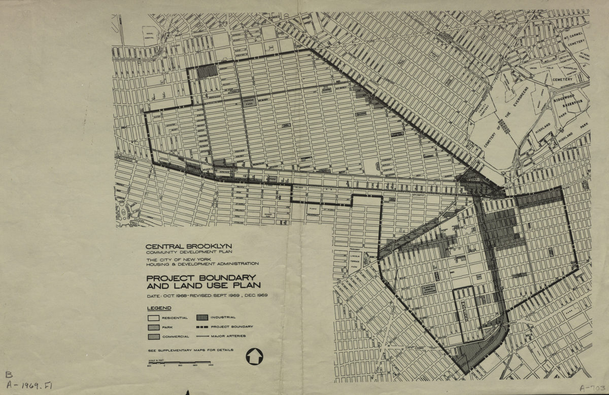
Central Brooklyn community development plan: project boundary and land use plan: the City of New York Housing & Development Administration 1969
Map No. B A-1969.Fl
The Central Brooklyn Community Development Plan encompassed the Bedford-Stuyvesant and Brownsville neighborhoods. Date: Oct. 1968, revised Sept. 1969, Dec. 1969.
Subjects
Places
Map area shown
Genre
Thematic mapsRelation
Full catalog recordSize
28 × 43 cmDownload
Low Resolution Image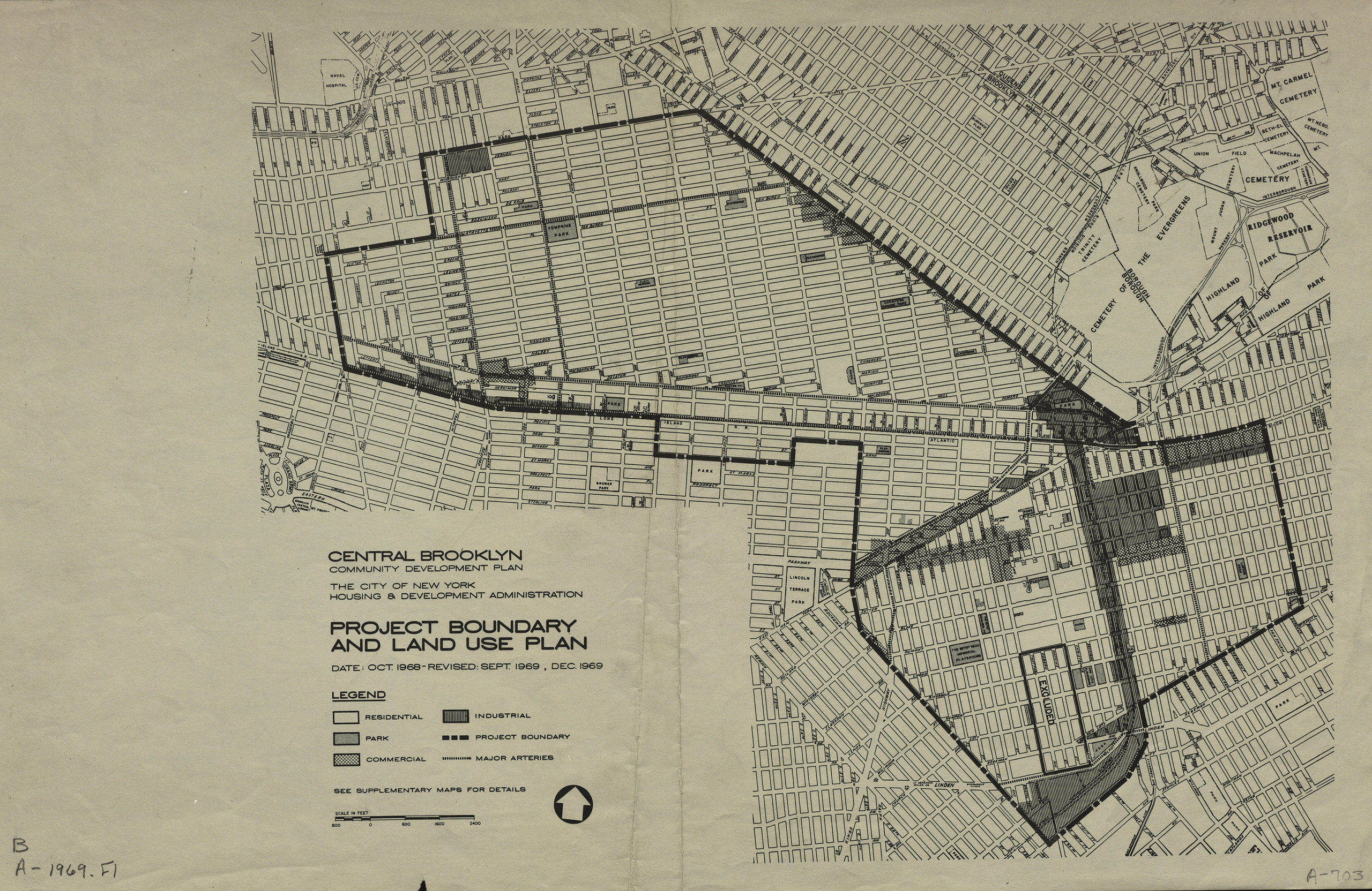
Creator
New York (N.Y.).; Housing and Development Administration,Publisher
Brooklyn Historical SocietyCitation
Central Brooklyn community development plan: project boundary and land use plan: the City of New York Housing & Development Administration; 1969, Map Collection, B A-1969.Fl; Brooklyn Historical Society.Scale
Scale approximately 1:24,Loading zoom image...