Central Brooklyn Neighborhood Development Program : Bedford Stuyvesant 1969
Map No. B P-1969.Fl.Folio
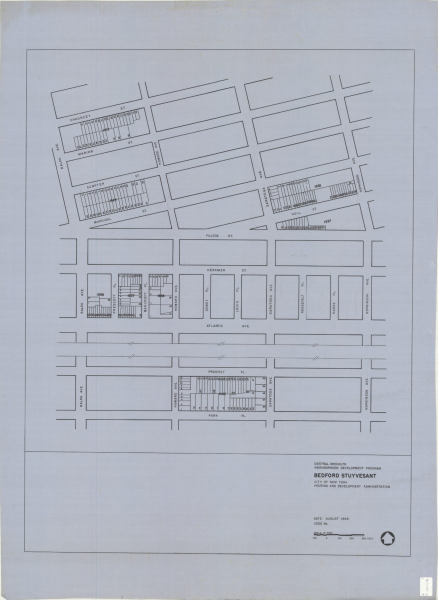
Covers area bounded by Chauncy Street, Hopkinson Avenue, Park Place, and Ralph Avenue in Bedford Stuyvesant neighborhood. Shows some property boundaries. Printed on translucent polyester. “August 1969.”
Subjects
Places
Map area shown
Genre
MapRelation
Full catalog recordSize
132 × 89 cmDownload
Low Resolution Image
Creator
New York (N.Y.).; Department of Housing Preservation and Development,Publisher
Brooklyn Historical SocietyCitation
Central Brooklyn Neighborhood Development Program : Bedford Stuyvesant; 1969, Map Collection, B P-1969.Fl.Folio; Brooklyn Historical Society.Scale
Scale approximately 1:924Loading zoom image...