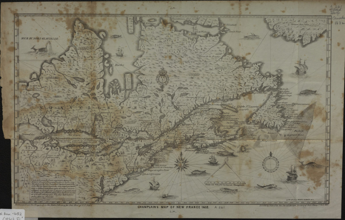
Champlain’s map of New France 1632 1850
Map No. N. Amer.-1632 (1850).Fl
Facsimile. Covers area north from Virginia to Greenland and west to Lake Erie. Relief represented pictorially and by hachures. “Reduced by David Vaughan 1850.” “Reduced from the Original in the State Library for Doc. Hist. of N.Y. Vol. 3.” “Executed by order of the Hon. Christr. Morgan, Secretary of State, Albany, N. York 1850.” Includes ill.
Places
Map area shown
Genre
Early mapsRelation
Full catalog recordSize
26 × 43 cmDownload
Low Resolution Image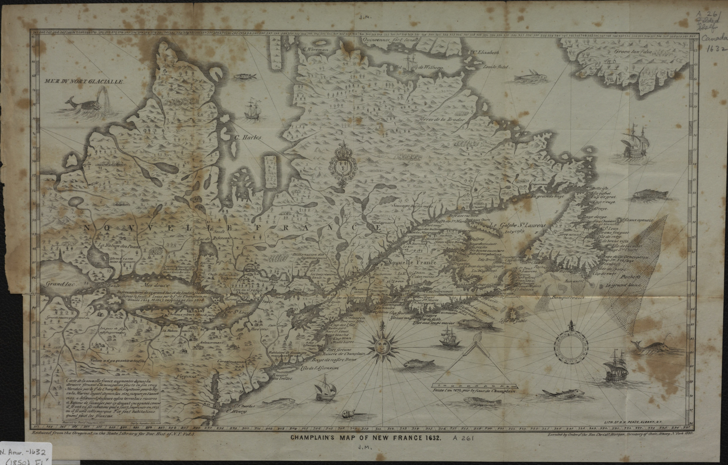
Creator
Champlain, Samuel de,Publisher
Brooklyn Historical SocietyCitation
Champlain’s map of New France 1632; 1850, Map Collection, N. Amer.-1632 (1850).Fl; Brooklyn Historical Society.Scale
Scale not givenLoading zoom image...