Cities of New York and Brooklyn, &c.&c.: by W. Williams [ca. 1847]
Map No. NYC-1847.Fl
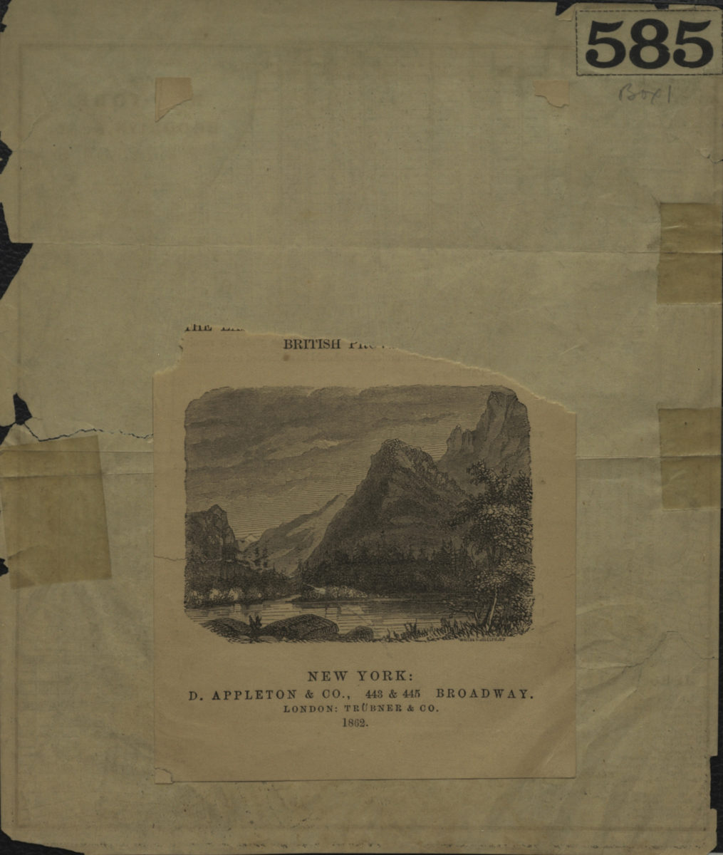
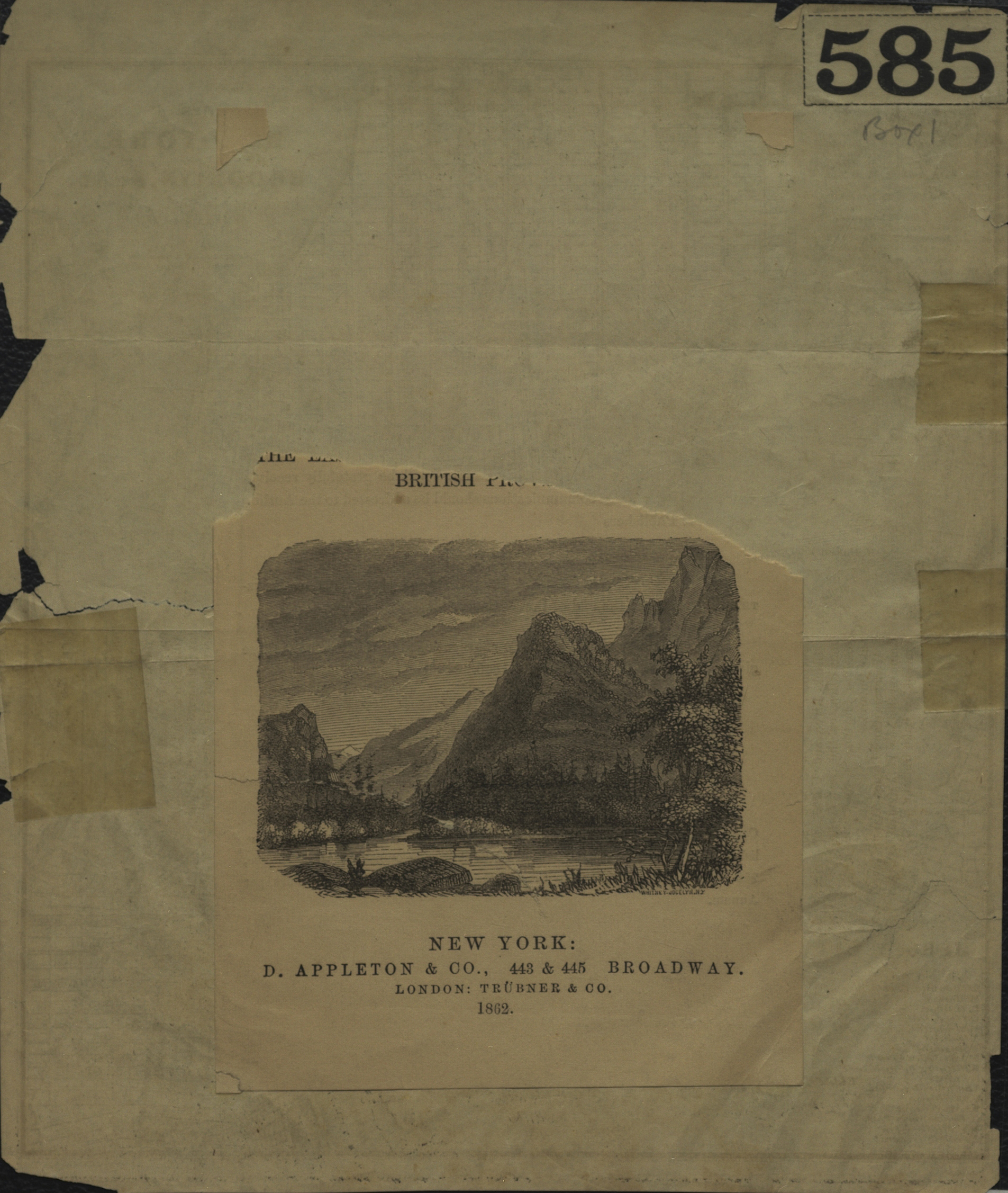
Covers Brooklyn from the Atlantic Dock north to N. 13th St. and east to Bond St. Also covers Manhattan north to 30th St., Governor’s Island, Ellis Island, and parts of Hoboken and Jersey City. Shows wards, ferry lines, docks, slips, and piers. “Drawn & engd. by W. Williams …” “Entered according to Act of Congress in the year 1847 by W. Williams in the Clerks Office of the District Court of the Southern District of New York.” Includes indexes. On accompanying material: Ill. and text unrelated to main map.
Map area shown
Genre
MapRelation
Full catalog recordSize
20 × 18 cmDownload
Low Resolution ImageCreator
Williams, W.,Publisher
Brooklyn Historical SocietyCitation
Cities of New York and Brooklyn, &c.&c.: by W. Williams; [ca. 1847], Map Collection, NYC-1847.Fl; Brooklyn Historical Society.Scale
Scale [ca. 1:36,000]Loading zoom image...