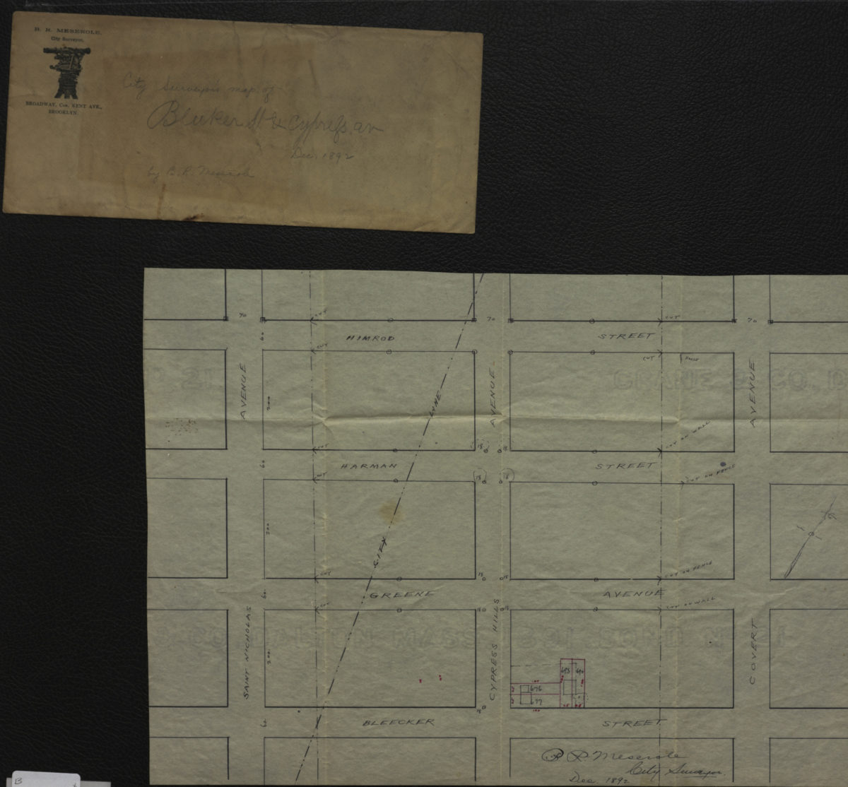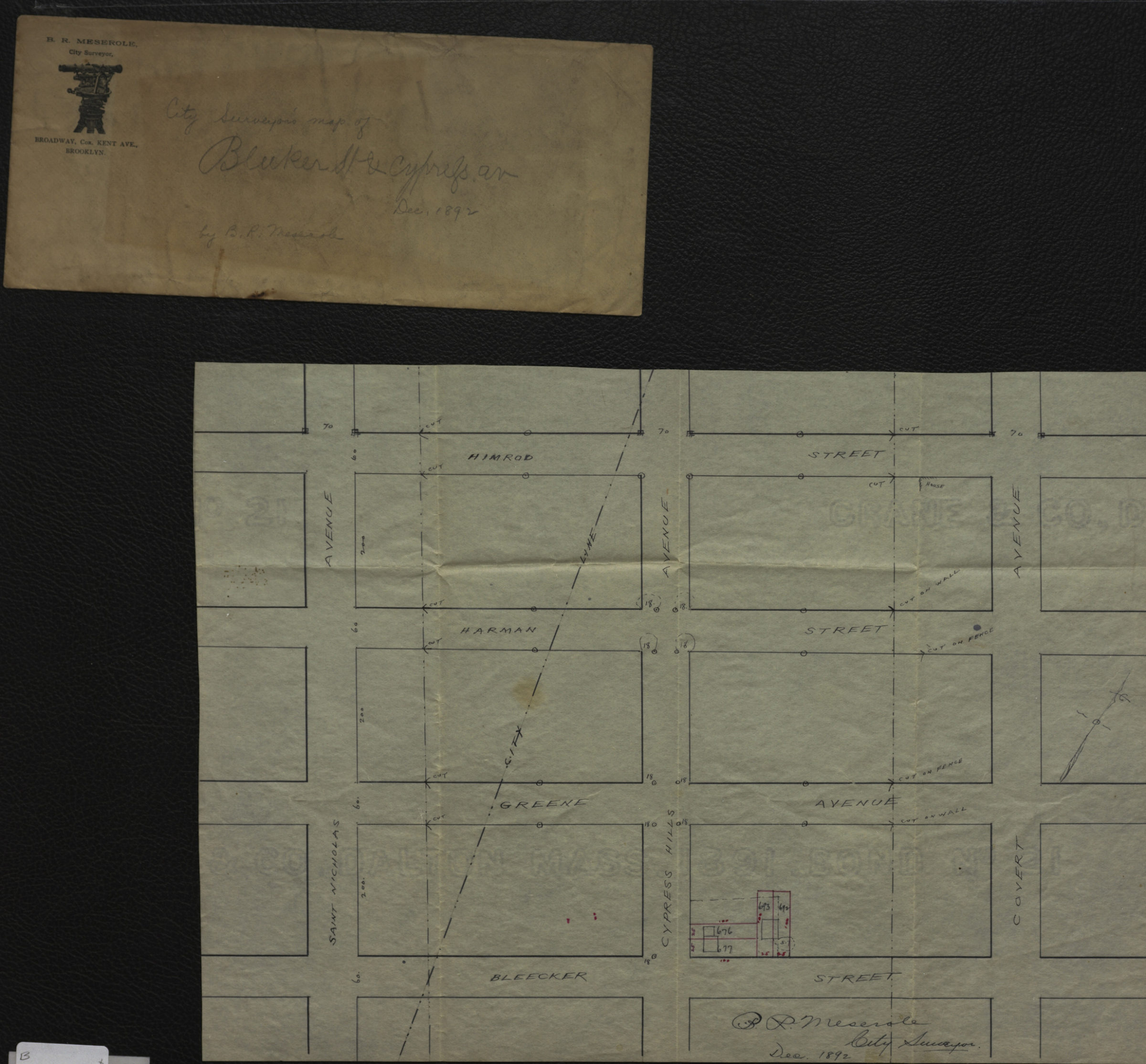
City surveyor’s map of Bleeker [i.e. Bleecker] St. & Cypress Av.: B.R. Meserole city surveyor December 1892
Map No. B P-1892b.Fl
Manuscript survey map covering modern-day Bushwick and Ridgewood east from St. Nicholas Ave to Covert Ave. Shows property on Bleecker St. (including lot numbers and measurements), the Brooklyn-Queens city line, and sites of cuts on houses, fences, and walls. Title from envelope. “B.R. Meserole, City Surveyor, Broadway, Cor. Kent Ave., Brooklyn”–Envelope. Oriented with north to the upper right. Envelope includes text and ill. Watermark: Crane & Co, Dalton Mass. 1891. Bond No 21.
Subjects
Places
Map area shown
Relation
Full catalog recordSize
26 × 36 cmDownload
Low Resolution Image
Creator
Meserole, B. R.,Publisher
Brooklyn Historical SocietyCitation
City surveyor’s map of Bleeker [i.e. Bleecker] St. & Cypress Av.: B.R. Meserole city surveyor; December 1892, Map Collection, B P-1892b.Fl; Brooklyn Historical Society.Scale
Scale not givenLoading zoom image...