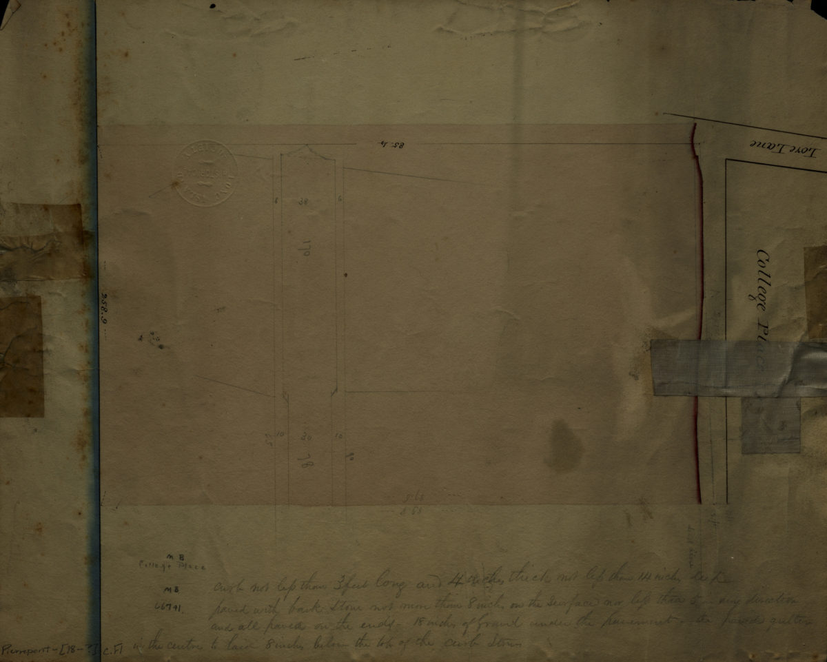
College Place [18??]
Map No. Pierrepont-[18--?]c.Fl
Cadastral map covering area in modern-day Brooklyn Heights. Shows property (including dimensions). Verso title. Oriented with north to the bottom. Includes notes.
Map area shown
Relation
Full catalog recordSize
31 × 38 cmDownload
Low Resolution Image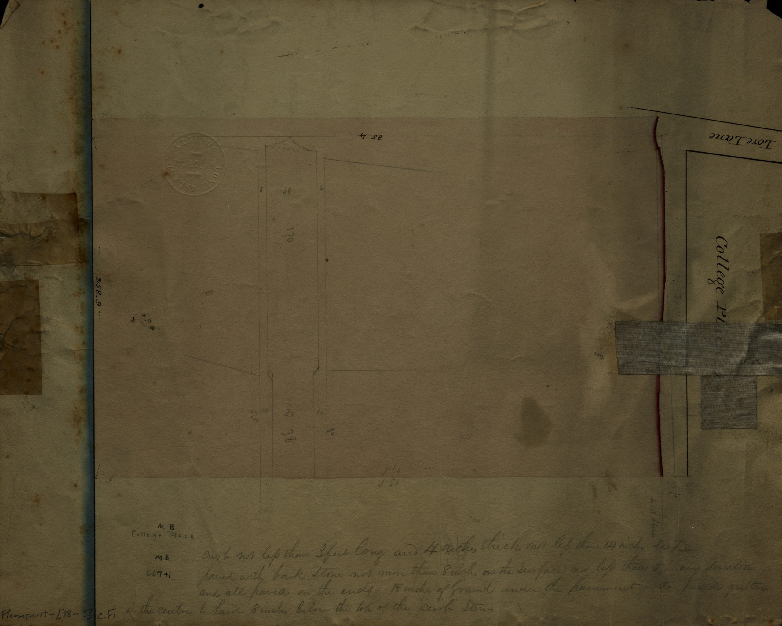
Creator
Publisher
Brooklyn Historical SocietyCitation
College Place; [18??], Map Collection, Pierrepont-[18--?]c.Fl; Brooklyn Historical Society.Scale
Scale not givenLoading zoom image...