Connecticut: with portions of New York & Rhode Island [1855]
Map No. CT-[1855].Fl
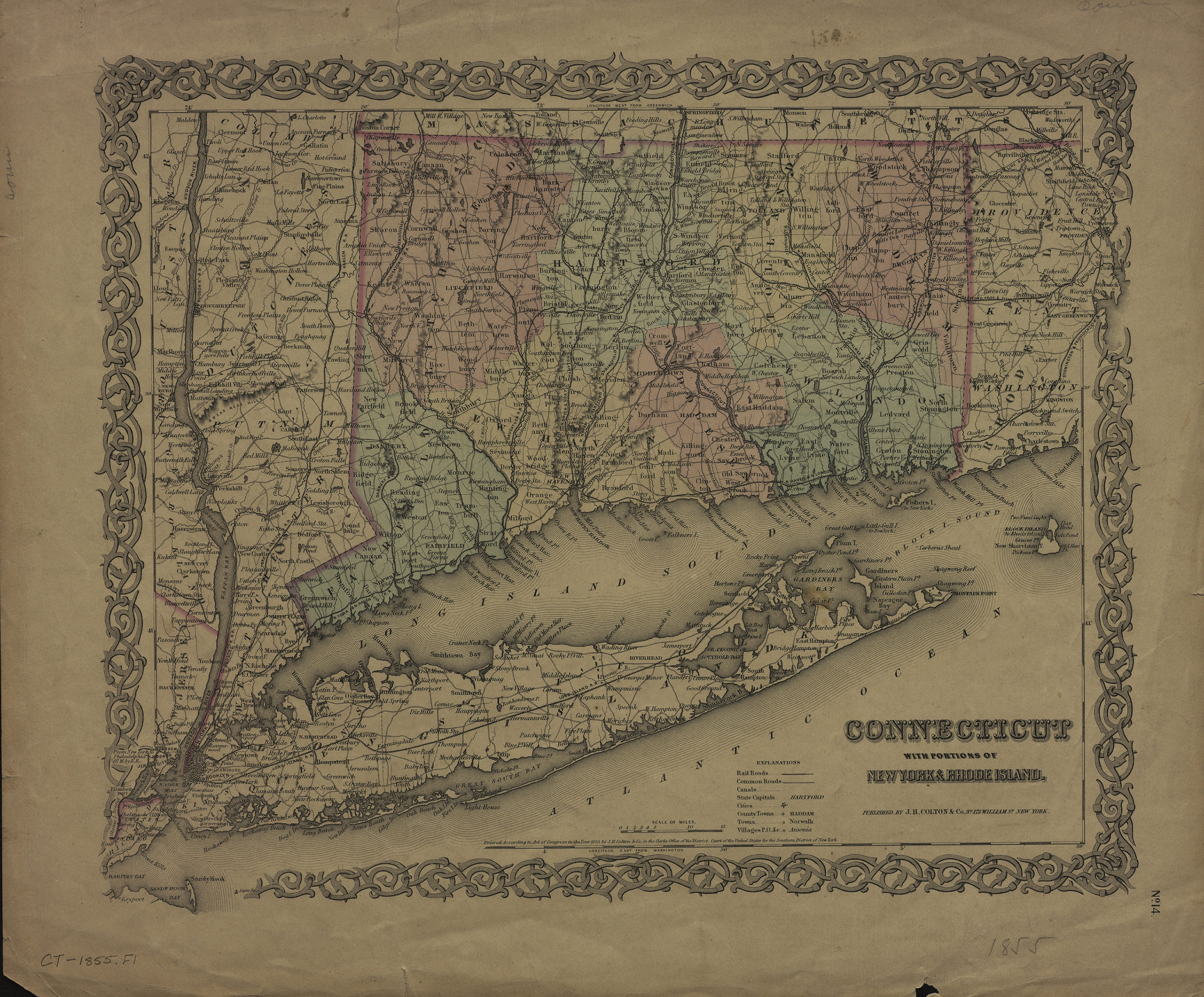
Shows railroads, common roads, canals, counties, and towns. Relief shown by hachures. “Entered According to Act of Congress in the Year 1855, by J.H. Colton & Co., in the Clerks Office of the District Court of the United States for the Southern District of New York.” Connecticut counties differentiated by color. Includes key and decorative border. “No. 14”–Lower right corner.
Map area shown
Genre
MapRelation
Full catalog recordSize
30 × 36 cmDownload
Low Resolution Image
Creator
J.H. Colton & Co.,Publisher
Brooklyn Historical SocietyCitation
Connecticut: with portions of New York & Rhode Island; [1855], Map Collection, CT-[1855].Fl; Brooklyn Historical Society.Scale
Scale [ca. 1:608,256]Loading zoom image... 