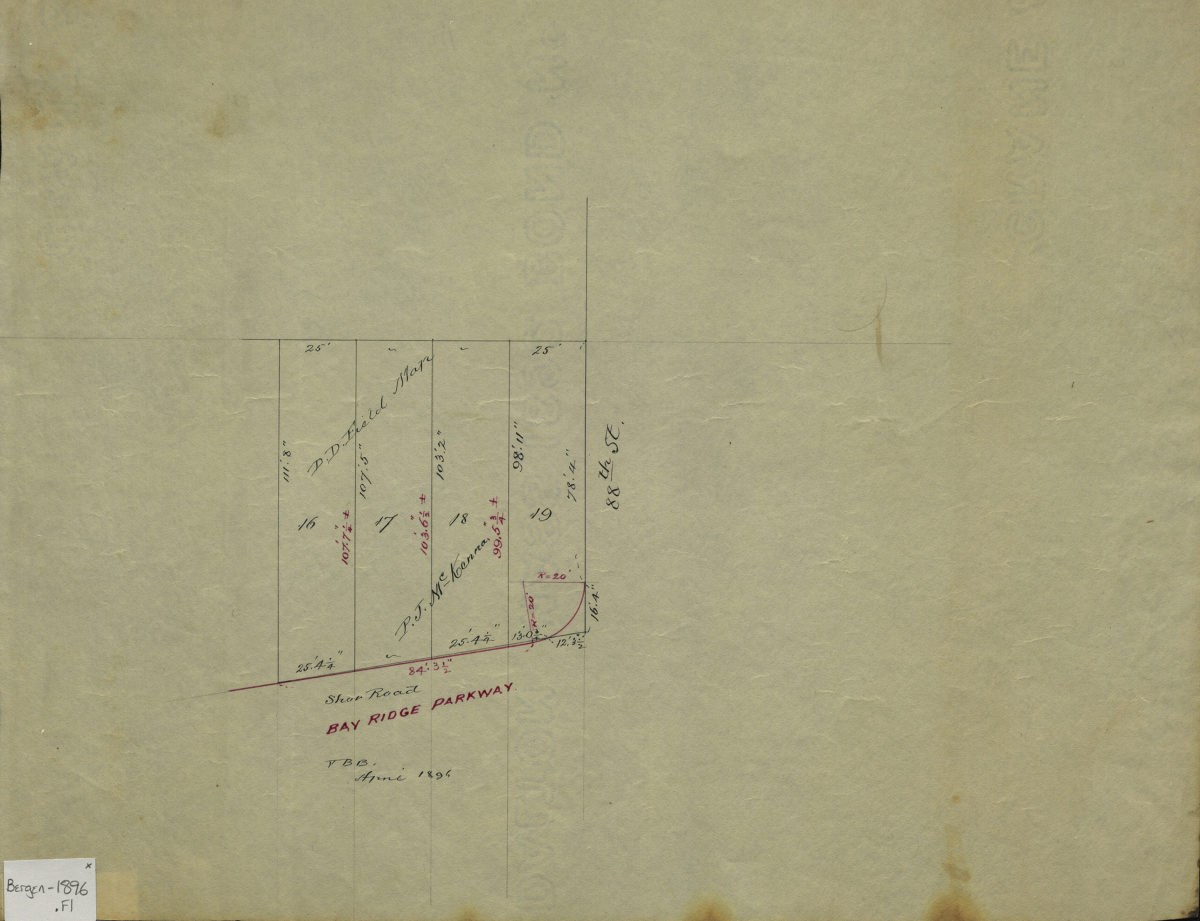
D. D. Field map: V. B. B April 1896
Map No. Bergen-1896.Fl
Cadastral survey map covers area at the corner of Bay Ridge Parkway and 88th Street in modern-day Bay Ridge. Shows streets, lots (including dimensions, and names of landowners. Attributed to Van Brunt Bergen, based on handwriting on piece. Watermark: Crane & Co., Dalton, Mass., 1892.
Map area shown
Relation
Full catalog recordSize
26 × 34 cmDownload
Low Resolution Image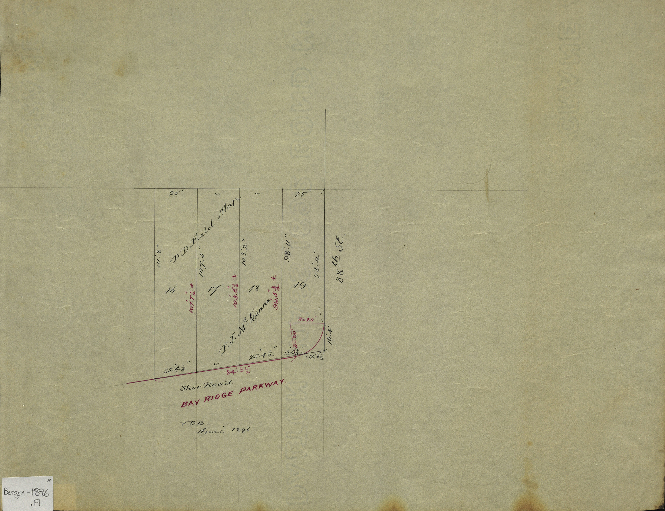
Creator
Bergen, Van Brunt,Publisher
Brooklyn Historical SocietyCitation
D. D. Field map: V. B. B; April 1896, Map Collection, Bergen-1896.Fl; Brooklyn Historical Society.Scale
Scale not givenLoading zoom image...