
Farm & woodland of Robt. B. Lefferts [1862]
Map No. Bergen-[1862].Fl
Cadastral map covering area between the main street in village of New Utrecht and the Brooklyn, Greenwood and Bath Plank Road in modern-day Bensonhurst. Shows property (including some measurements), structures and names of landowners. Verso title. Attributed to Teunis G. Bergen, based on handwriting on piece. Includes notes. Oriented with north to the upper right. Date of creation conjectured from notes.
Map area shown
Relation
Full catalog recordSize
46 × 59 cmDownload
Low Resolution Image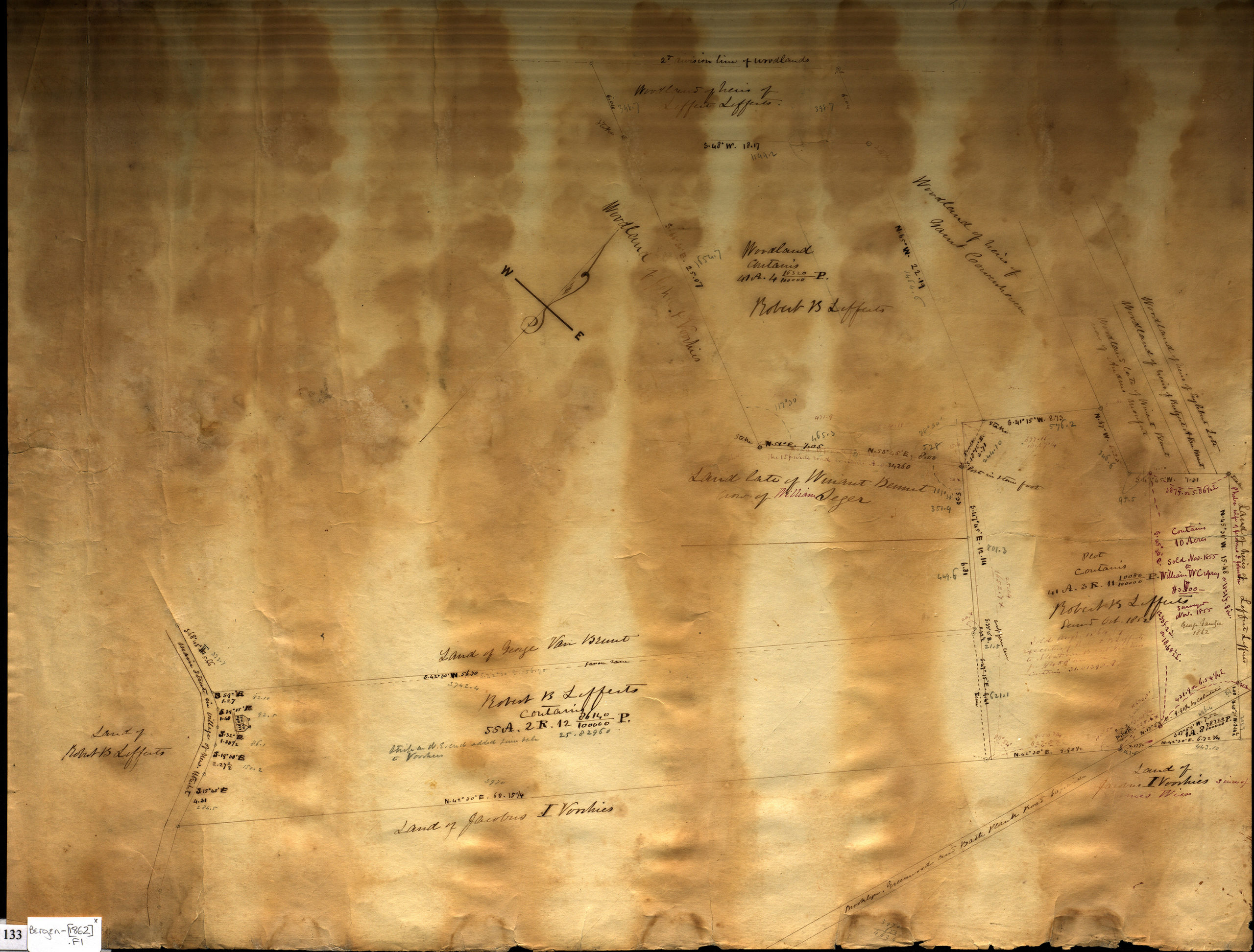
Creator
Bergen, Teunis G.,Publisher
Brooklyn Historical SocietyCitation
Farm & woodland of Robt. B. Lefferts; [1862], Map Collection, Bergen-[1862].Fl; Brooklyn Historical Society.Scale
Scale not givenLoading zoom image... 