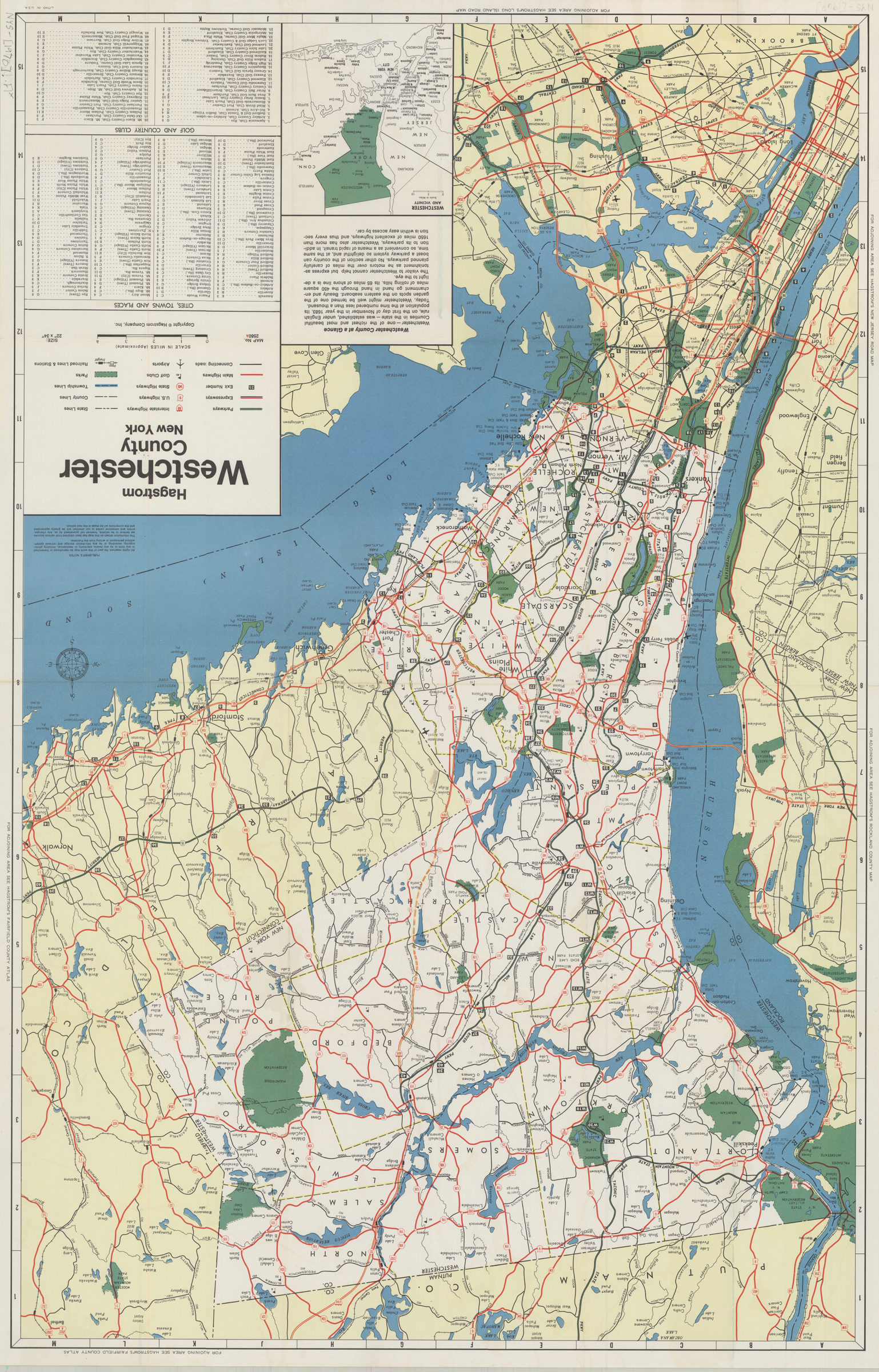
Hagstrom Westchester County, New York 1970
Map No. NYS-1970.Fl
Shows primarily major highways and connecting roads in the county and adjacent areas. Includes text, indexes and inset map of “Westchester and vicinity.” “Map No. 2560A.” Publication date derived from code: C-OX.
Map area shown
Genre
Road mapsRelation
Full catalog recordSize
83 × 53 cmDownload
Low Resolution Image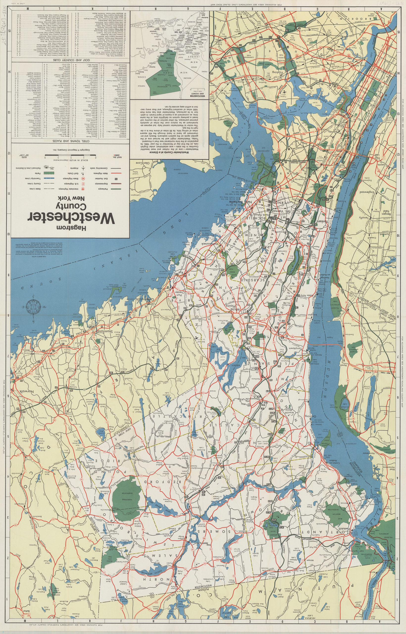
Creator
Hagstrom Company,Publisher
Brooklyn Historical SocietyCitation
Hagstrom Westchester County, New York; 1970, Map Collection, NYS-1970.Fl; Brooklyn Historical Society.Scale
Scale [ca. 1:92,000]Loading zoom image... 