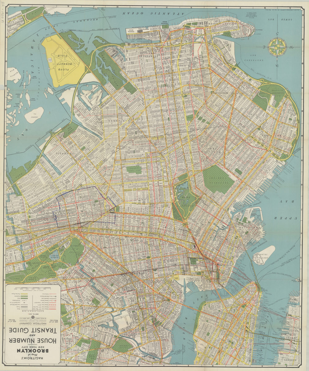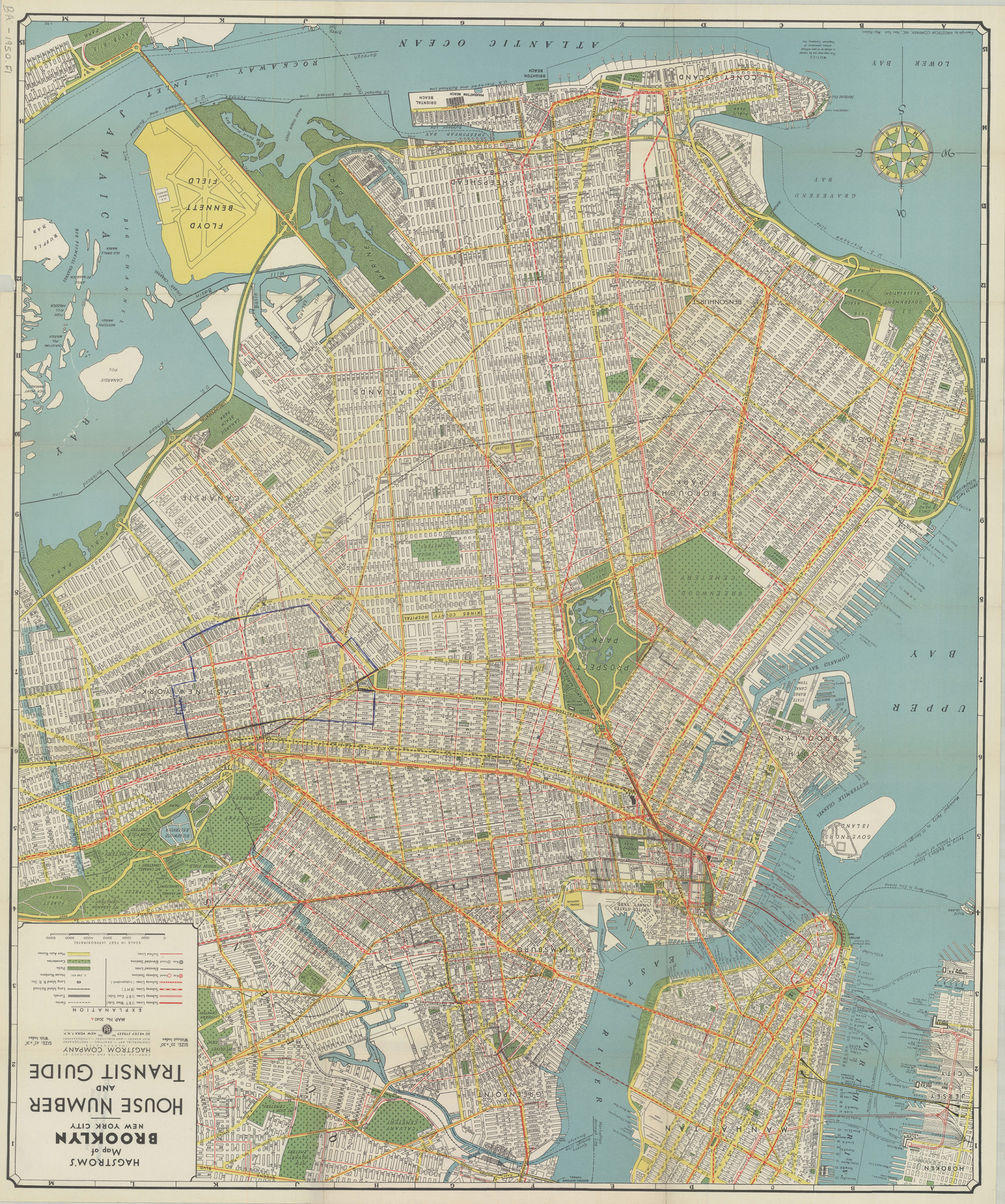
Hagstrom’s map of Brooklyn, New York City: house number and transit guide: compiled, printed, and published by Hagstrom Company Incorporated [1950; 1947]
Map No. B A-1950.Fl
Also covers southern part of Manhattan. Accompanying index sheet affixed to inside of cover. On cover: color illustration and publisher’s map list. “Map No. 2040A.” Date of manufacture derived from code: O-SO.
Subjects
Places
Map area shown
Relation
Full catalog recordSize
73 × 61 cmDownload
Low Resolution Image
Creator
Hagstrom Company,Publisher
Brooklyn Historical SocietyCitation
Hagstrom’s map of Brooklyn, New York City: house number and transit guide: compiled, printed, and published by Hagstrom Company Incorporated; [1950; 1947], Map Collection, B A-1950.Fl; Brooklyn Historical Society.Scale
Scale approximately 1:25,Loading zoom image...