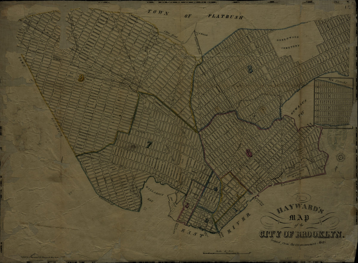
Hayward’s map of the city of Brooklyn (copied from the Commissioner’s map) [1848]
Map No. B A-[1848?].Fl
Also shows Erie Basin, Bushnell’s Basin, high water marks, surrounding streets, and wards. Oriented with north to the lower left. Includes inset continuation map.
Map area shown
Genre
MapRelation
Full catalog recordSize
37 × 50 cmDownload
Low Resolution Image
Creator
Hayward, George,Publisher
Brooklyn Historical SocietyCitation
Hayward’s map of the city of Brooklyn (copied from the Commissioner’s map); [1848], Map Collection, B A-[1848?].Fl; Brooklyn Historical Society.Scale
Scale [ca. 1:18,581]Loading zoom image...