Land under water, J. Van Brunt: V.B. Bergen, C.E. May 1889
Map No. Bergen-1889.Fl
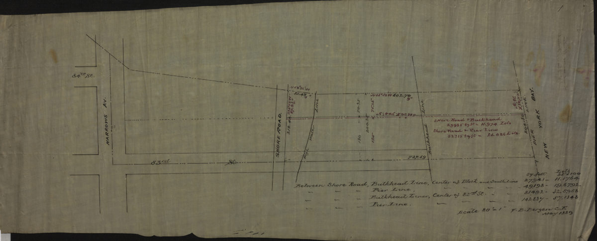
Cadastral map covering 83rd St. between New York Bay and Narrows Ave. (modern-day Bay Ridge). Shows property, pierhead lines, bulkhead lines, and high water lines. Verso title. Oriented with north to the lower right. Includes notes.
Subjects
Places
Map area shown
Relation
Full catalog recordSize
22 × 56 cmDownload
Low Resolution Image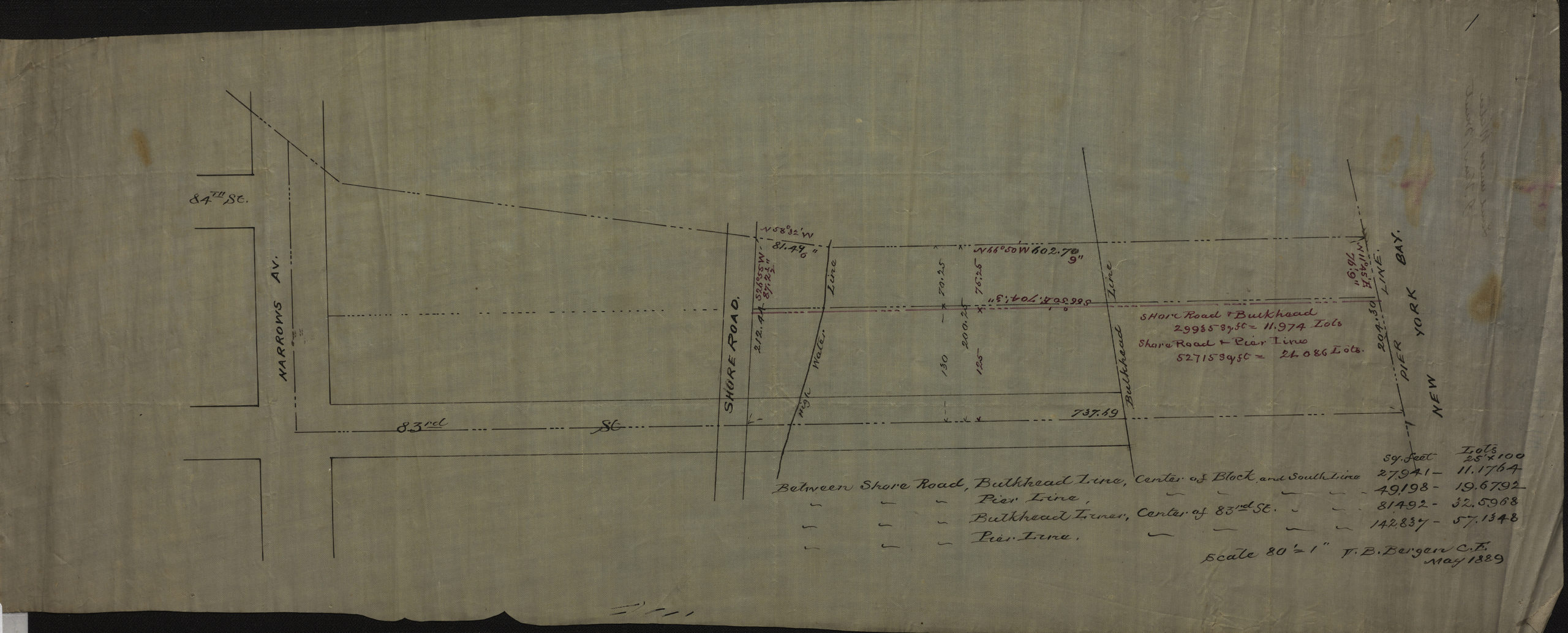
Creator
Bergen, Van Brunt, Bergen, Van Brunt,Publisher
Brooklyn Historical Society, Brooklyn Historical SocietyCitation
Land under water, J. Van Brunt: V.B. Bergen, C.E.; May 1889, Map Collection, Bergen-1889.Fl; Brooklyn Historical Society.Scale
Scale [1:960] 1 in to 80Loading zoom image...