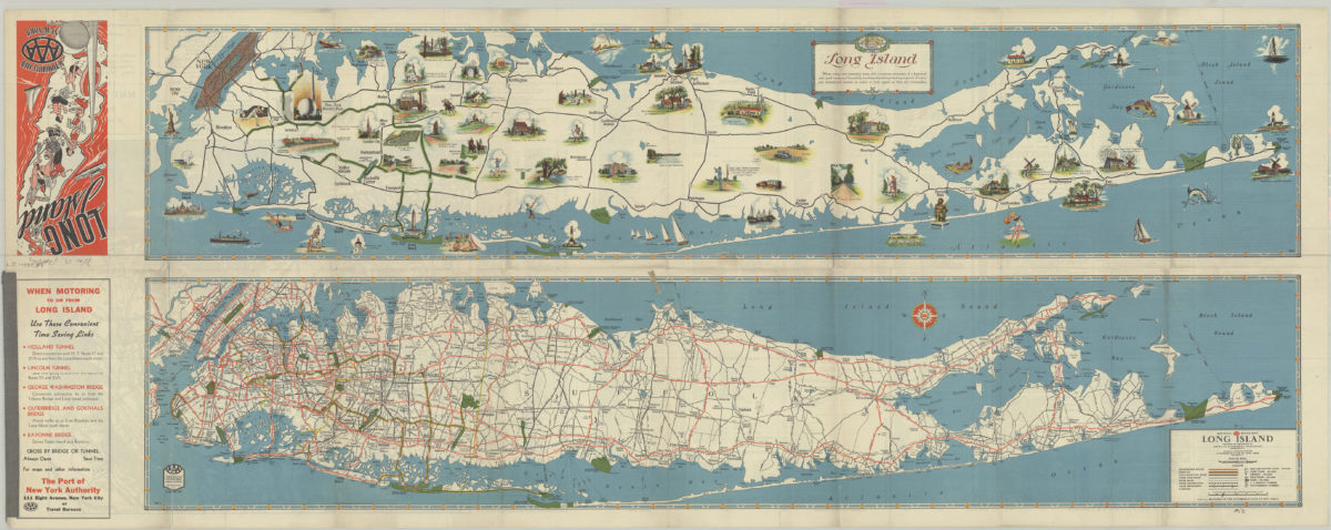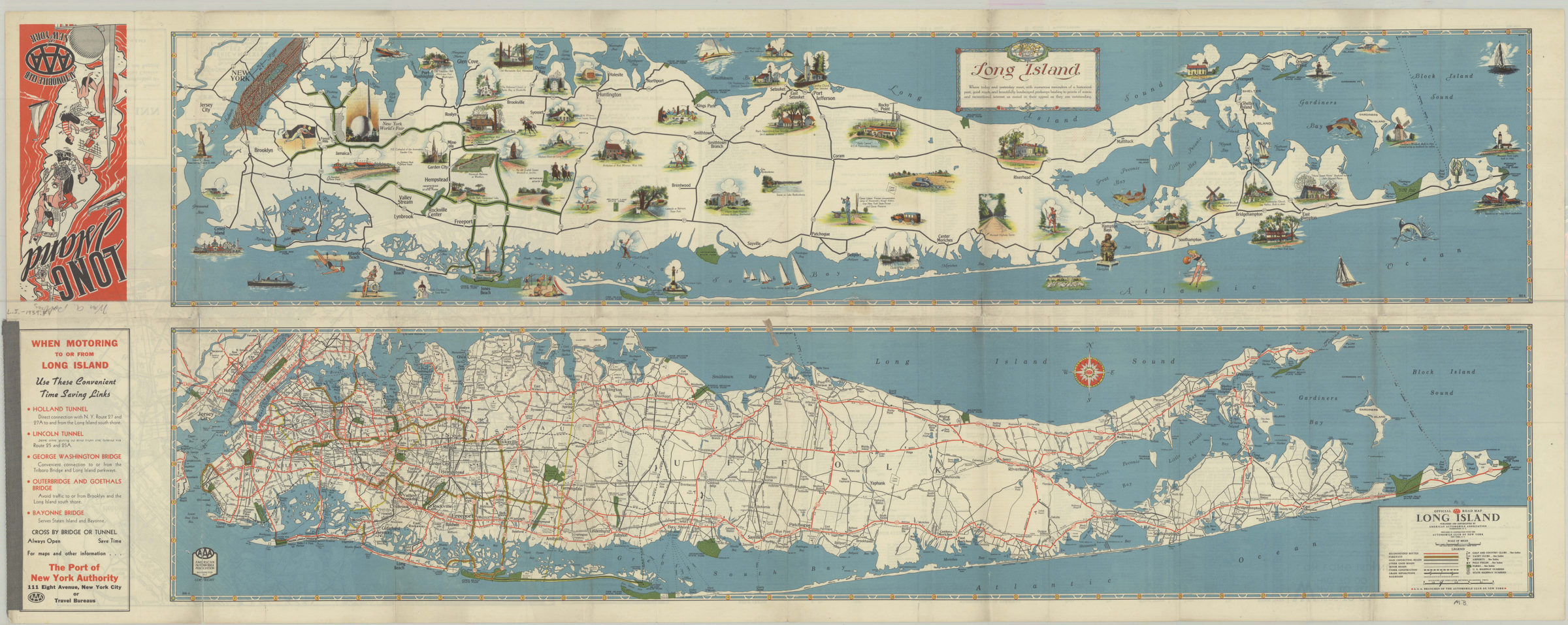

Long Island: AAA ; Automobile Club of New York [1939]
Map No. L.I.-1939a.Fl.Folio
Both maps also cover Brooklyn, Queens, Manhattan, and portions of the Bronx, Staten Island and New Jersey. “Official AAA road map Long Island” shows railroads, golf and country clubs, yacht clubs, airports, polo fields, and parks. Pictorial map “Long Island” shows historical geography through pictorial points of interest. Panel title. “WHG”–Upper right corner of “Long Island.” “G.W.C.”–Upper right corner of “Official AAA road map Long Island.” Includes key and text. On verso: Map of Manhattan, Brooklyn, Queens and part of Nassau County, advertisements, index and text. “3037 A”–Lower right corner of “Long Island.” “3036-A”–Lower left corner of “Official AAA road map Long Island.” Official AAA road map Long Island. Long Island.
Map area shown
Relation
Full catalog recordSize
46 × 117 cmDownload
Low Resolution Image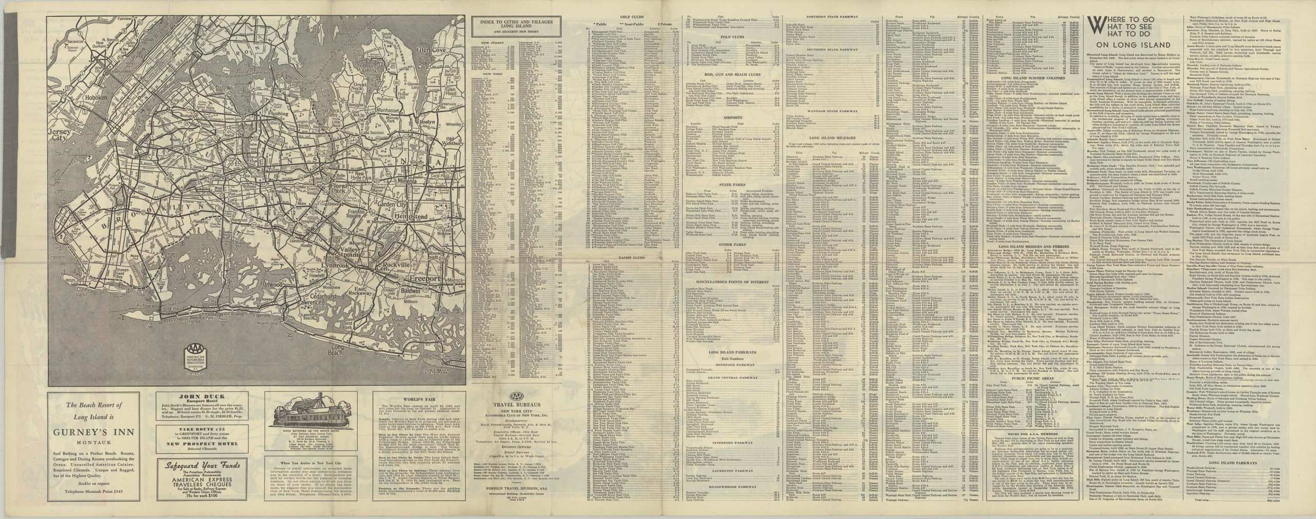
Creator
American Automobile Association,Publisher
Brooklyn Historical SocietyCitation
Long Island: AAA ; Automobile Club of New York; [1939], Map Collection, L.I.-1939a.Fl.Folio; Brooklyn Historical Society.Scale
Scale [ca. 1:190,080]Loading zoom image...