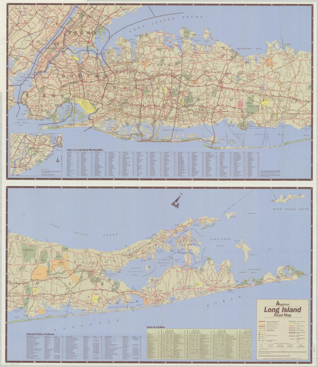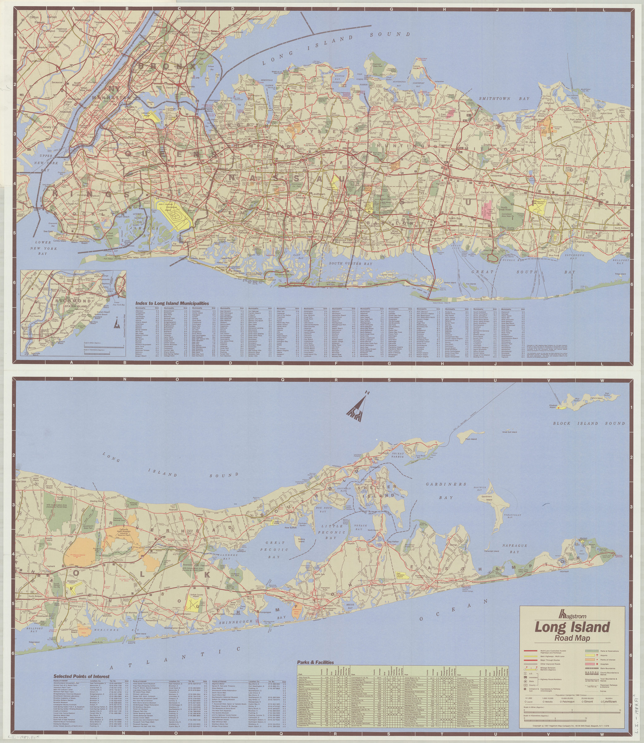

Long Island road map: Hagstrom [ca. 1987]
Map No. L.I.-1987.Fl
Covers Manhattan, the Bronx, Brooklyn, Queens, Staten Island, and a portion of New Jersey. Shows parks and reservations, airports, points of interest, hospitals, state, county and town boundaries, passenger railways and stations, and ferries. Oriented with north to the upper right. Includes indexes, table of parks & facilities, key, and inset continuation map of Staten Island. On cover: Text, location map, publisher’s map list, UPC bar code, and col. ill. “HH-MR-N-5599”–Cover. [Western half]. [Eastern half].
Map area shown
Genre
Road mapsRelation
Full catalog recordSize
91 × 79 cmDownload
Low Resolution Image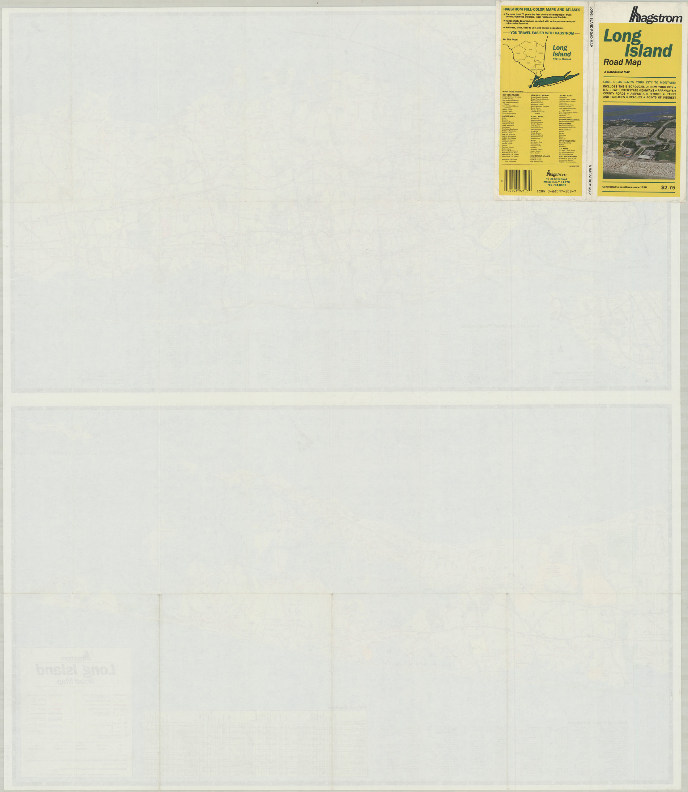
Creator
Hagstrom Map Company,Publisher
Brooklyn Historical SocietyCitation
Long Island road map: Hagstrom; [ca. 1987], Map Collection, L.I.-1987.Fl; Brooklyn Historical Society.Scale
Scale [ca. 1:135,000]Loading zoom image...