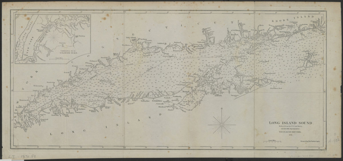
Long Island Sound: reduced from the U.S. Coast Survey, A. D. Bache, superintendent 1851
Map No. L.I.-1851.Fl
Depths shown by soundings. “Drawn and engd. by Charles Copley.” Includes inset map showing Upper New York Bay and Long Island Sound east to Throgs Point, Westchester County.
Map area shown
Genre
Bathymetric mapsRelation
Full catalog recordSize
24 × 52 cmDownload
Low Resolution Image
Creator
Copley, Charles,Publisher
Brooklyn Historical SocietyCitation
Long Island Sound: reduced from the U.S. Coast Survey, A. D. Bache, superintendent; 1851, Map Collection, L.I.-1851.Fl; Brooklyn Historical Society.Scale
Scale approximately 1: 42Loading zoom image...