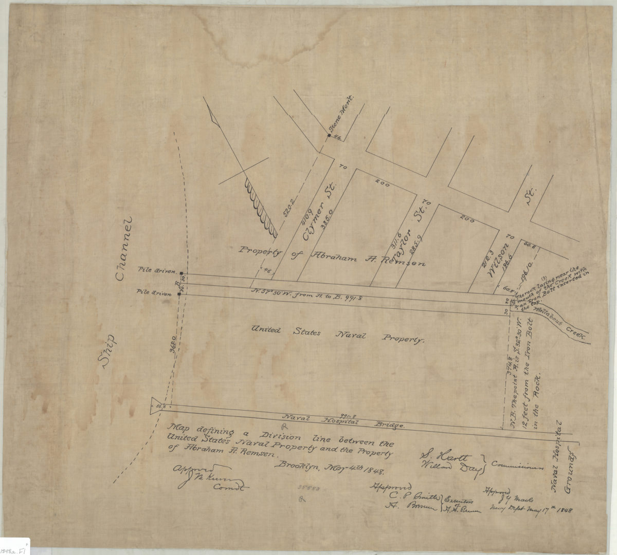
Map defining a division line between the United States Naval Property and the property of Abraham A. Remsen May 4, 1848
Map No. B P-1848a.Fl
Cadastral map covering area in modern-day Fort Greene. Shows Wallabout Creek, the Naval Hospital Bridge, and the Naval Hospital. Oriented with north to the upper left. Includes notes and signatures of approval by commissioners and executors.
Map area shown
Relation
Full catalog recordSize
52 × 58 cmDownload
Low Resolution Image
Creator
Publisher
Brooklyn Historical SocietyCitation
Map defining a division line between the United States Naval Property and the property of Abraham A. Remsen; May 4, 1848, Map Collection, B P-1848a.Fl; Brooklyn Historical Society.Scale
Scale not givenLoading zoom image...