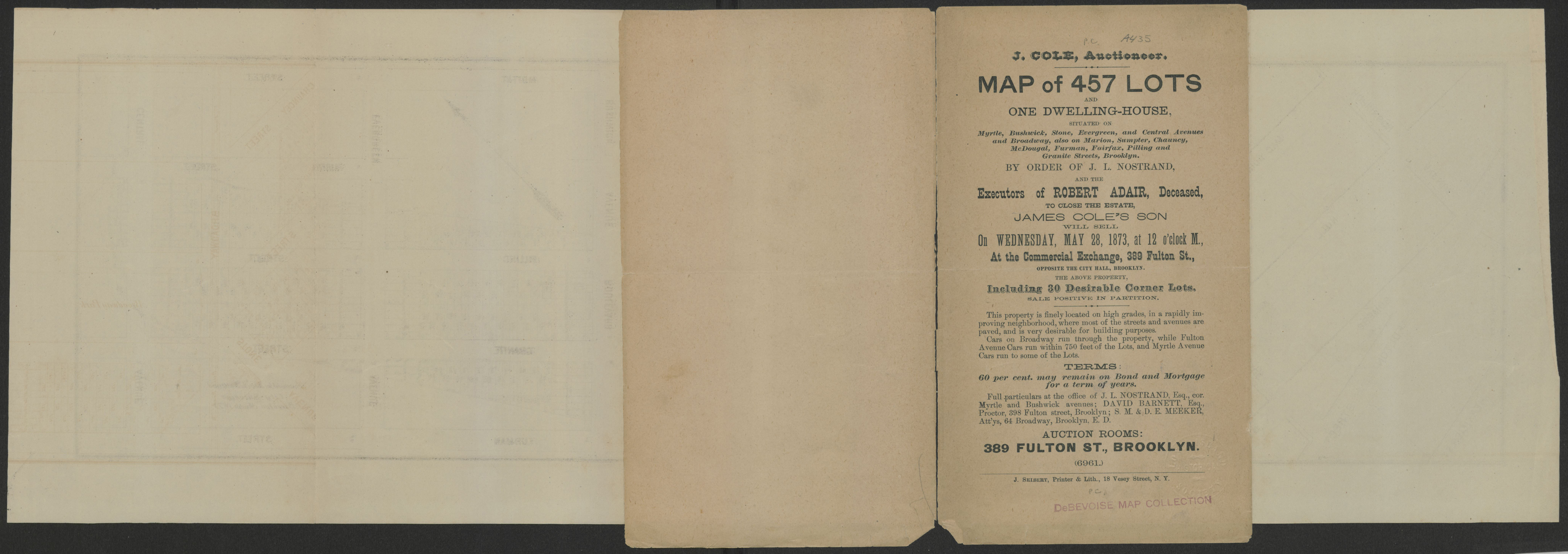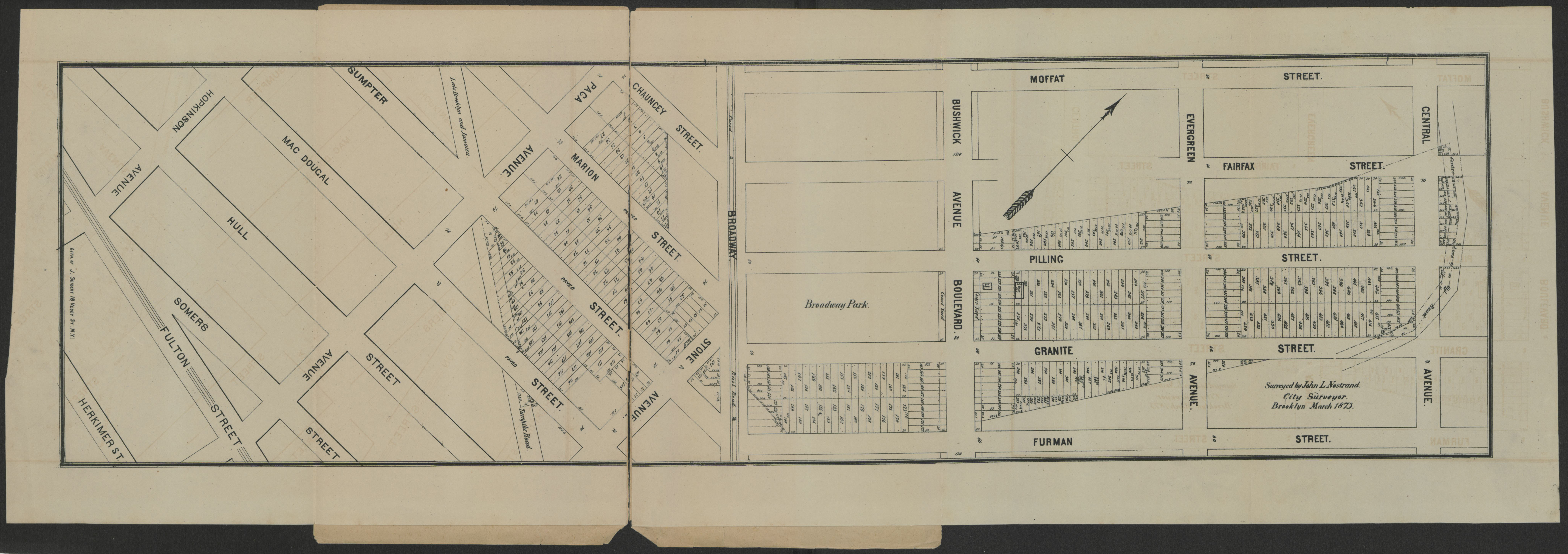

Map of 457 lots and one dwelling-house, situated on Myrtle, Bushwick, Stone, Evergreen, and Central Avenues and Broadway, also on Marion, Sumpter, Chauncey, McDougal, Furman, Fairfax, Pilling, and Granite Streets, Brooklyn March 1873 [1873]
Map No. B P-[1873]a.Fl
Cadastral map covering area east from Herkimer St. to Central Ave. and north from Furman St. to Moffat St. (modern-day Bushwick and Bedford-Stuyvesant). Shows property (including lots numbers and dimensions) and Broadway Park. Cover title. Oriented with north to the upper left. Cover contains text. BHS copy stamped: DeBevoise Map Collection.
Subjects
Places
Map area shown
Genre
Cadastral mapsRelation
Full catalog recordSize
18 × 64 cmDownload
Low Resolution ImageCreator
Nostrand, John L.,Publisher
Brooklyn Historical SocietyCitation
Map of 457 lots and one dwelling-house, situated on Myrtle, Bushwick, Stone, Evergreen, and Central Avenues and Broadway, also on Marion, Sumpter, Chauncey, McDougal, Furman, Fairfax, Pilling, and Granite Streets, Brooklyn March 1873; [1873], Map Collection, B P-[1873]a.Fl; Brooklyn Historical Society.Scale
Scale not givenLoading zoom image... 
