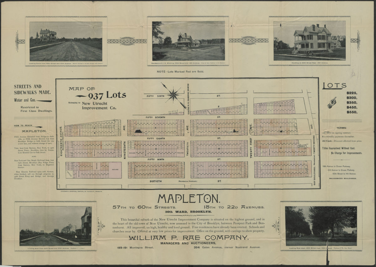
Map of 937 lots belonging to New Utrecht Improvement Co [1895]
Map No. B P-[1895?].Fl
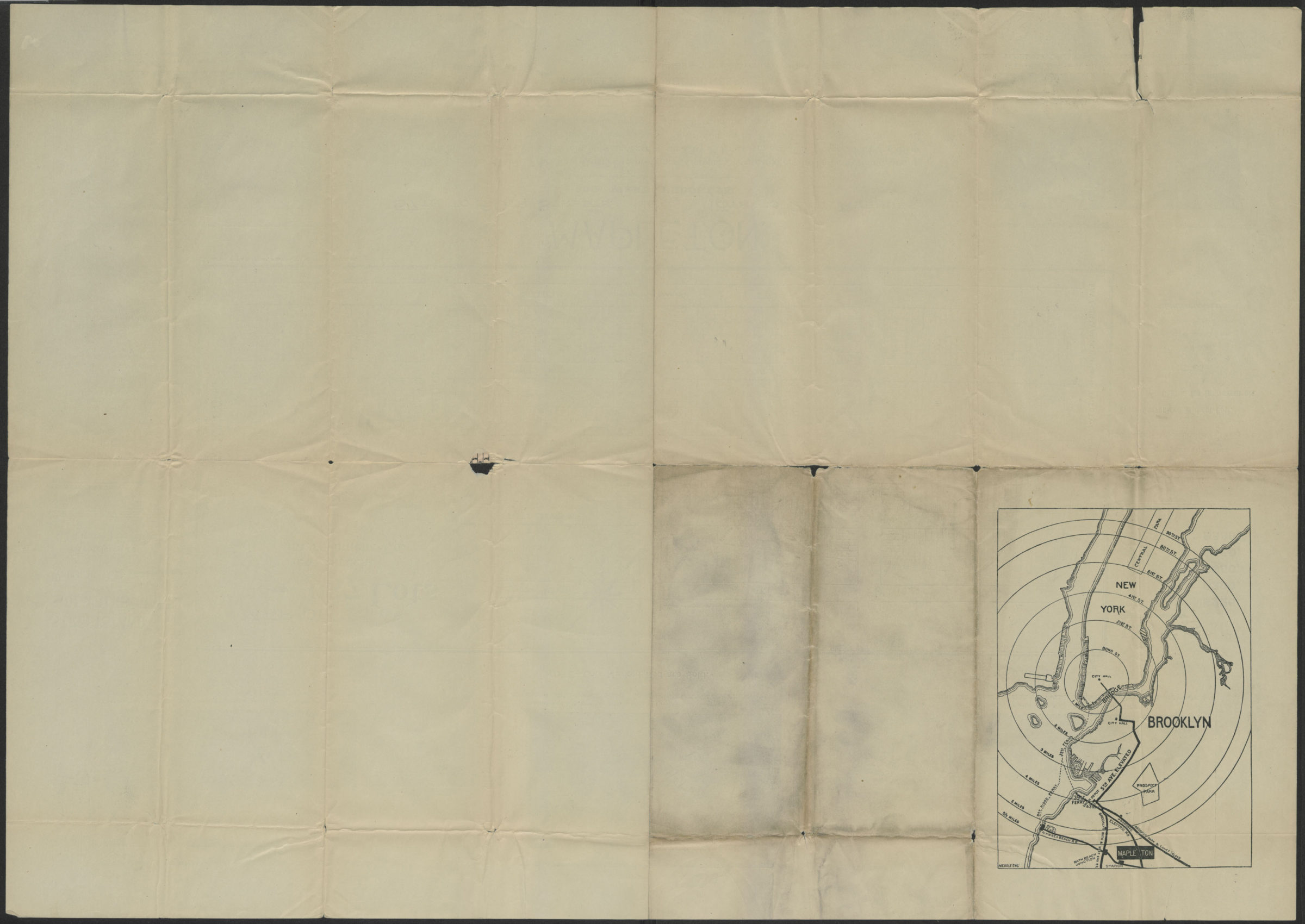
Cadastral map showing lots for sale in area bounded by 56th Street, 22nd Avenue, 60th Street, and 18th Avenue in modern-day Borough Park. Shows lot numbers and dimensions. Includes text and illustrations. On verso: location map for Mapleton showing transportation. Oriented with north to the upper left. Map found among the Brooklyn, N.Y., Department of Law, Corporation Counsel records at Brooklyn Historical Society.
Map area shown
Genre
Cadastral mapsRelation
Full catalog recordSize
51 × 71 cmDownload
Low Resolution Image
Creator
New Utrecht Improvement Company,Publisher
Brooklyn Historical SocietyCitation
Map of 937 lots belonging to New Utrecht Improvement Co; [1895], Map Collection, B P-[1895?].Fl; Brooklyn Historical Society.Scale
Scale not givenLoading zoom image...