
[Map of area bounded by 46th Street, 8th Avenue, 48th Street and 7th Avenue] [18??]
Map No. Bergen-[18--?]o.Fl
Cadastral map showing lots and dimensions in modern-day Sunset Park. Likely attributed to Teunis G. Bergen, based on handwriting on piece.
Map area shown
Relation
Full catalog recordSize
56 × 66 cmDownload
Low Resolution Image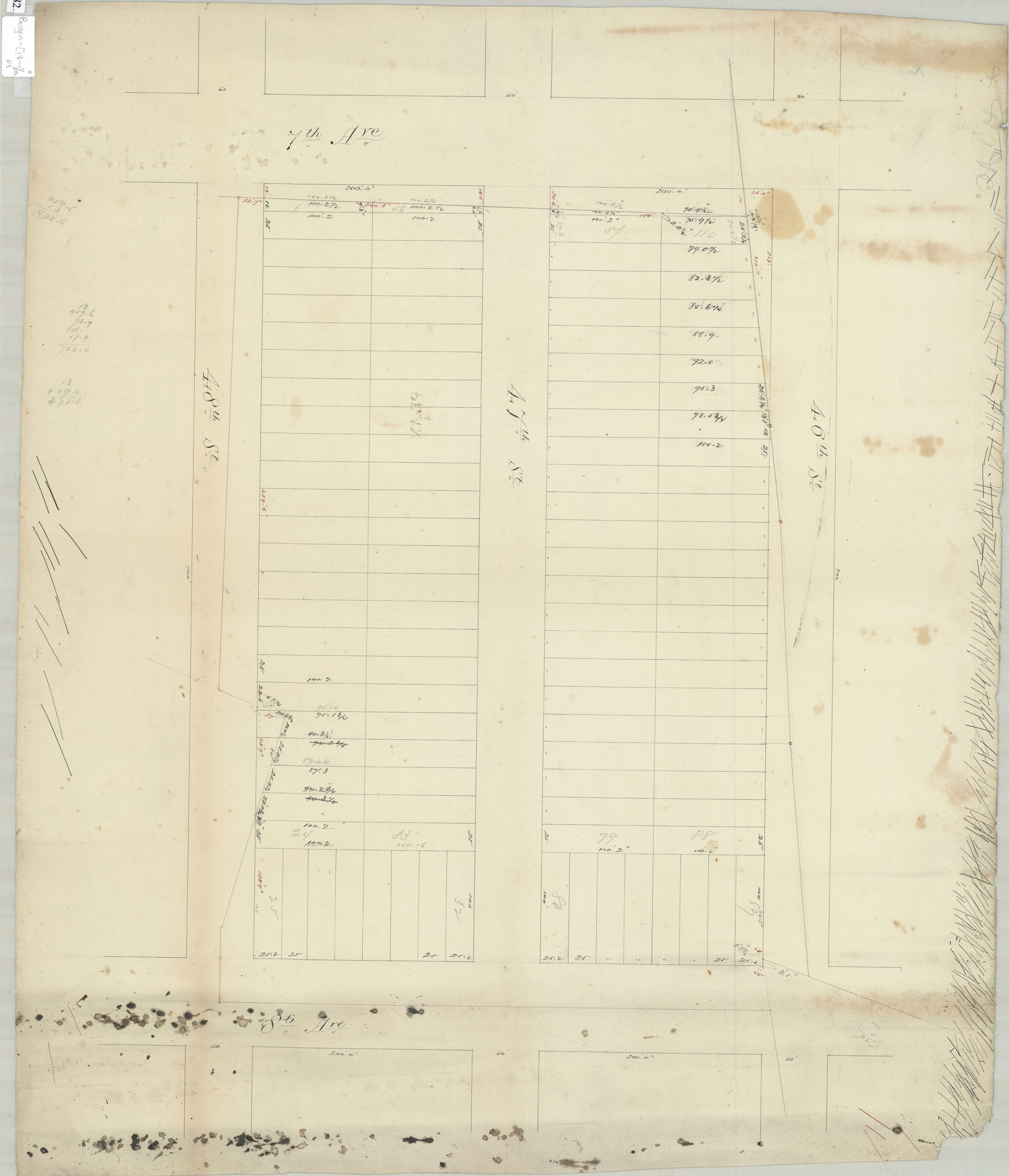
Creator
Bergen, Teunis G.,Publisher
Brooklyn Historical SocietyCitation
[Map of area bounded by 46th Street, 8th Avenue, 48th Street and 7th Avenue]; [18??], Map Collection, Bergen-[18--?]o.Fl; Brooklyn Historical Society.Scale
Scale not givenLoading zoom image... 