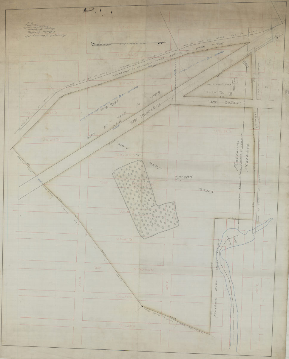
[Map of area bounded by E. 25th St., Ave. G, E. 35th St., and Ave. E.]: Charles Crooke, engineer & surveyor January 1891
Map No. B P-1891.Fl.O
Cadastral map covering area in modern-day Flatbush, East Flatbush, and Farragut. Shows property (including buildings and acreages), names of landowners, and the town line between Flatlands and Flatbush. Title devised by cataloger. Oriented with north to the left.
Subjects
Places
Map area shown
Relation
Full catalog recordSize
106 × 85 cmDownload
Low Resolution Image
Creator
Crooke, Charles, Crooke, Charles,Publisher
Brooklyn Historical Society, Brooklyn Historical SocietyCitation
[Map of area bounded by E. 25th St., Ave. G, E. 35th St., and Ave. E.]: Charles Crooke, engineer & surveyor; January 1891, Map Collection, B P-1891.Fl.O; Brooklyn Historical Society.Scale
Scale [1:960] 1 in to 80Loading zoom image...