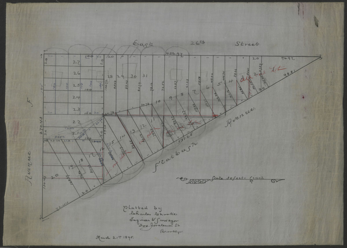
[Map of area bounded by Flatbush Ave., E. 26th St., and Ave. F]: platted by Charles Crooke, engineer & surveyor March 21, 1895
Map No. B A-1895.Fl
Cadastral map covering area in modern-day Flatbush. Shows property (including lot numbers and dimensions). Title devised by cataloger. Oriented with north to the right.
Map area shown
Relation
Full catalog recordSize
34 × 48 cmDownload
Low Resolution Image
Creator
Crooke, Charles,Publisher
Brooklyn Historical SocietyCitation
[Map of area bounded by Flatbush Ave., E. 26th St., and Ave. F]: platted by Charles Crooke, engineer & surveyor; March 21, 1895, Map Collection, B A-1895.Fl; Brooklyn Historical Society.Scale
Scale [1:360] 1 in to 30Loading zoom image...