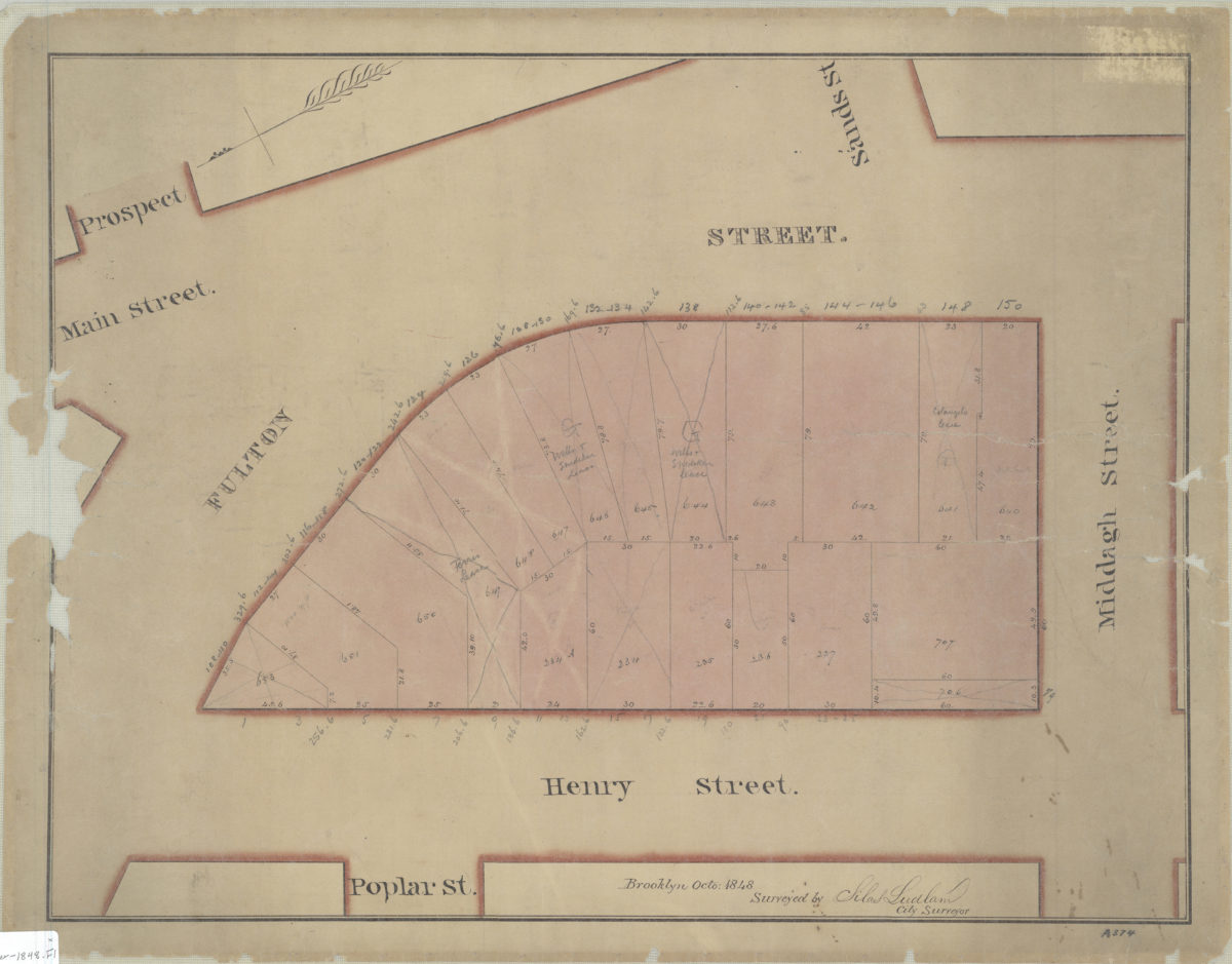
[Map of area bounded by Fulton St., Henry St., and Middagh St.]: surveyed by Silas Ludlam, city surveyor October 1848
Map No. Luquer-1848.Fl
Cadastral map covering area in modern-day Brooklyn Heights. Shows property (including lot numbers and dimensions). Title devised by cataloger. Oriented with north to lower left. Watermark: J. Whatman, Turkey Mill, 1847.
Map area shown
Relation
Full catalog recordSize
39 × 52 cmDownload
Low Resolution Image
Creator
Ludlam, Silas,Publisher
Brooklyn Historical SocietyCitation
[Map of area bounded by Fulton St., Henry St., and Middagh St.]: surveyed by Silas Ludlam, city surveyor; October 1848, Map Collection, Luquer-1848.Fl; Brooklyn Historical Society.Scale
Scale not givenLoading zoom image...