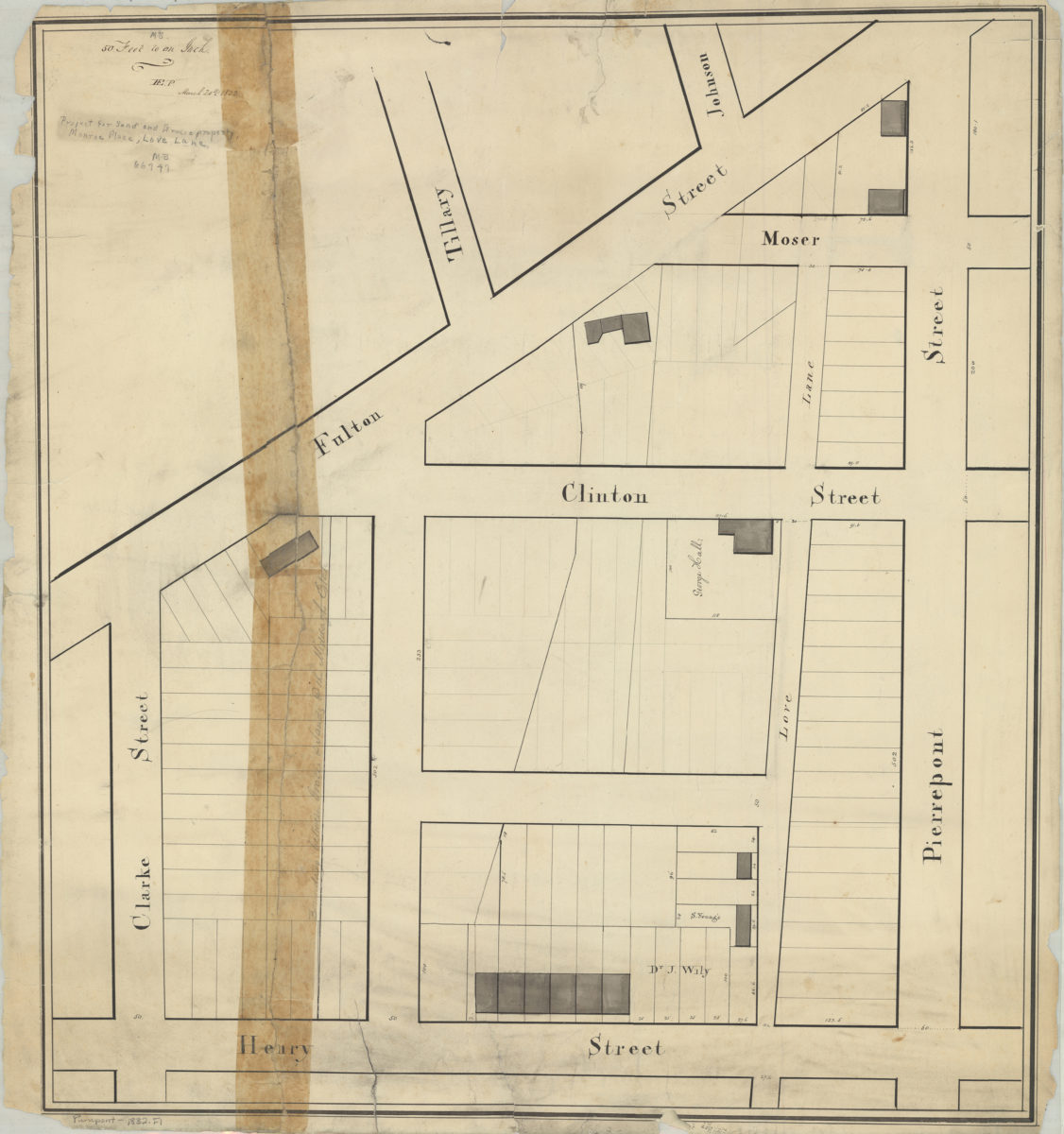
[Map of area bounded by Henry St., Clarke St., Fulton St., and Pierrepont St.]: H.E.P. [Henry Evelyn Pierrepont] March 20, 1832
Map No. Pierrepont-1832.Fl
Cadastral map covering area in modern-day Brooklyn Heights. Shows property (including lots, buildings, and dimensions), and names of landowners. Title devised by cataloger.
Map area shown
Relation
Full catalog recordSize
53 × 49 cmDownload
Low Resolution Image
Creator
Pierrepont, Henry Evelyn,Publisher
Brooklyn Historical SocietyCitation
[Map of area bounded by Henry St., Clarke St., Fulton St., and Pierrepont St.]: H.E.P. [Henry Evelyn Pierrepont]; March 20, 1832, Map Collection, Pierrepont-1832.Fl; Brooklyn Historical Society.Scale
Scale [1:600] 1 in to 50Loading zoom image...