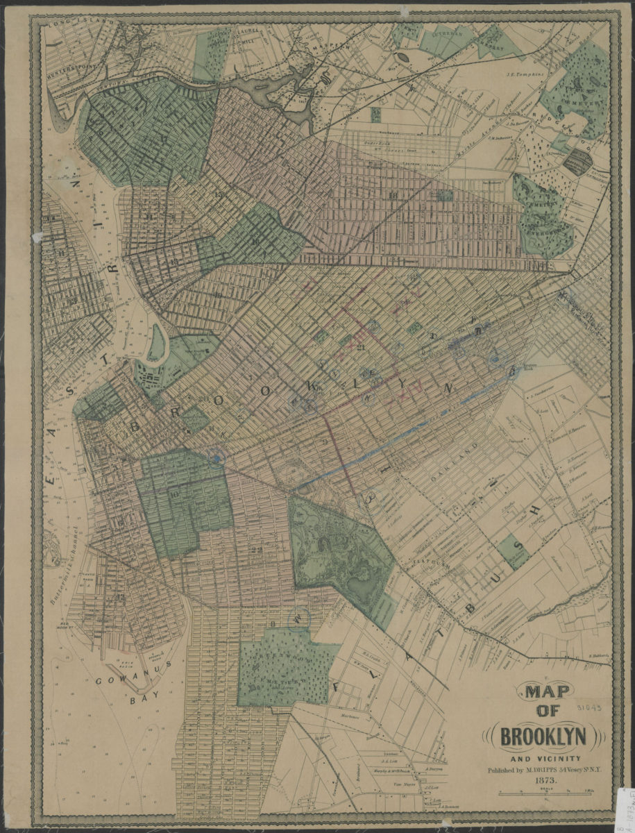
Map of Brooklyn and vicinity 1873
Map No. B A-1873a.Fl
Shows present-day northern portion of Brooklyn. Depths shown by soundings and isolines. BHS copy mounted on linen, annotated in red and black ink and blue pencil.
Map area shown
Genre
Bathymetric mapsRelation
Full catalog recordSize
61 × 46 cmDownload
Low Resolution Image
Creator
Dripps, M.,Publisher
Brooklyn Historical SocietyCitation
Map of Brooklyn and vicinity; 1873, Map Collection, B A-1873a.Fl; Brooklyn Historical Society.Scale
Scale [1:23,000]Loading zoom image...