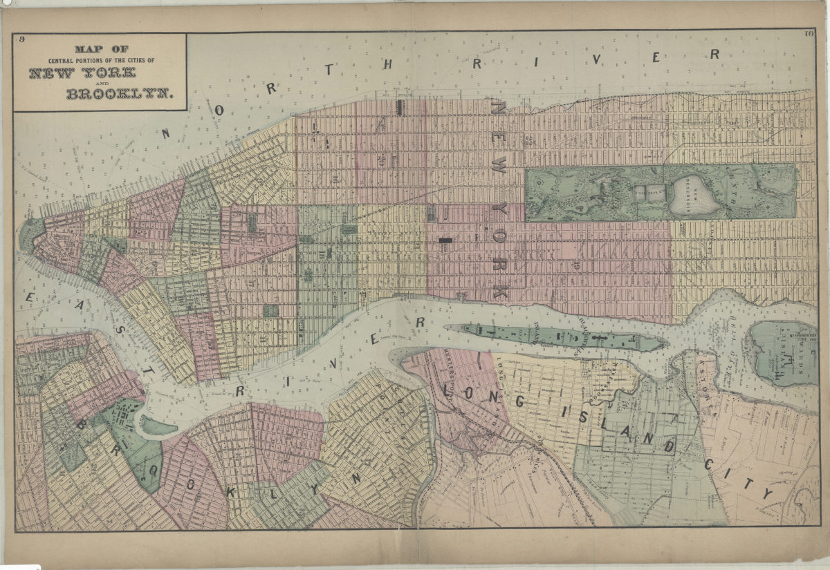
Map of central portions of the cities of New York and Brooklyn [1873]
Map No. NYC-[1873].Fl
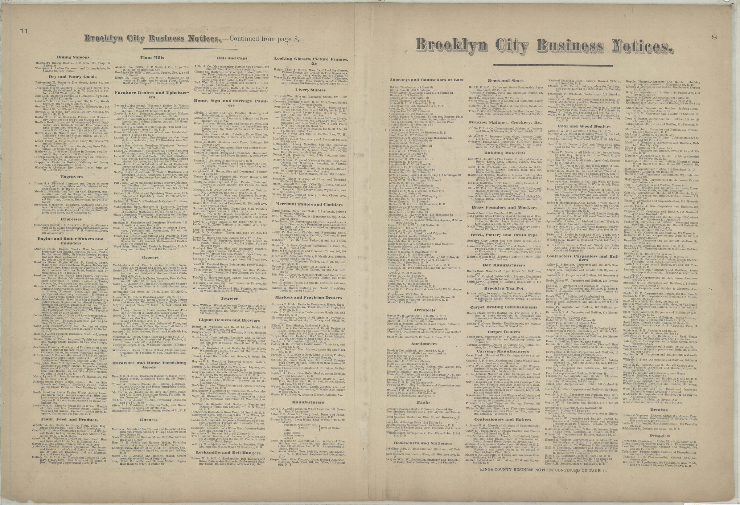
Covers Manhattan north from the Battery to 113th St. Also covers northwestern Brooklyn (including Brooklyn Heights, the Navy Yard, Williamsburg, and Greenpoint), and Long Island City. Shows wards and ferry lines. Depths shown by soundings. Extracted from: Atlas of Long Island, New York. New York : Beers, Comstock & Cline, 1873, p. 8-11. On verso: Brooklyn city business notices.
Map area shown
Genre
MapRelation
Full catalog recordSize
35 × 57 cmDownload
Low Resolution Image
Creator
Beers, F. W.; Beers, Comstock & Cline,Publisher
Brooklyn Historical SocietyCitation
Map of central portions of the cities of New York and Brooklyn; [1873], Map Collection, NYC-[1873].Fl; Brooklyn Historical Society.Scale
Scale not givenLoading zoom image...