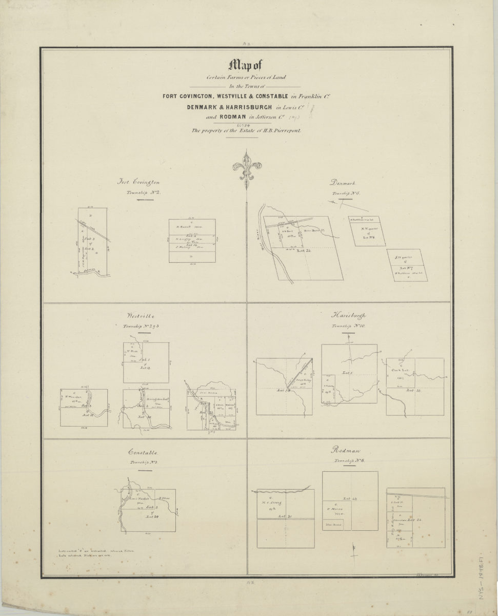
Map of certain farms or pieces of land in the towns of Fort Covington, Westville, & Constable in Franklin Co., Denmark & Harrisburgh in Lewis Co., and Rodman in Jefferson Co.: the property of the estate of H.B. Pierrepont: H.E. Pierrepont 1848 [1848]
Map No. NYS-[1848].Fl
Cadastral maps showing property (including lot numbers and dimensions), drainage, and names of landowners. Orientations differ. Includes key describing colored lots map not colored.
Subjects
Places
Map area shown
Genre
Cadastral mapsRelation
Full catalog recordSize
61 × 49 cmDownload
Low Resolution Image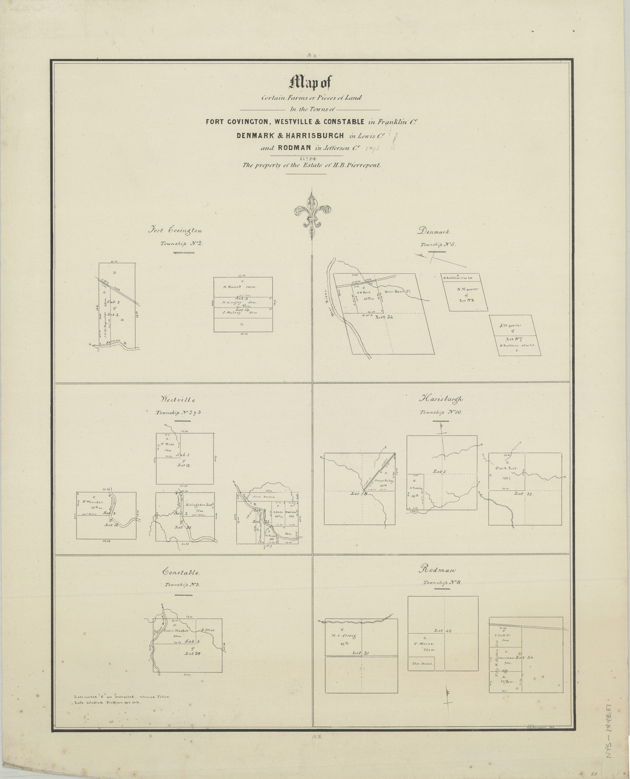
Creator
Pierrepont, Henry Evelyn,Publisher
Brooklyn Historical SocietyCitation
Map of certain farms or pieces of land in the towns of Fort Covington, Westville, & Constable in Franklin Co., Denmark & Harrisburgh in Lewis Co., and Rodman in Jefferson Co.: the property of the estate of H.B. Pierrepont: H.E. Pierrepont 1848; [1848], Map Collection, NYS-[1848].Fl; Brooklyn Historical Society.Scale
Scale not givenLoading zoom image...