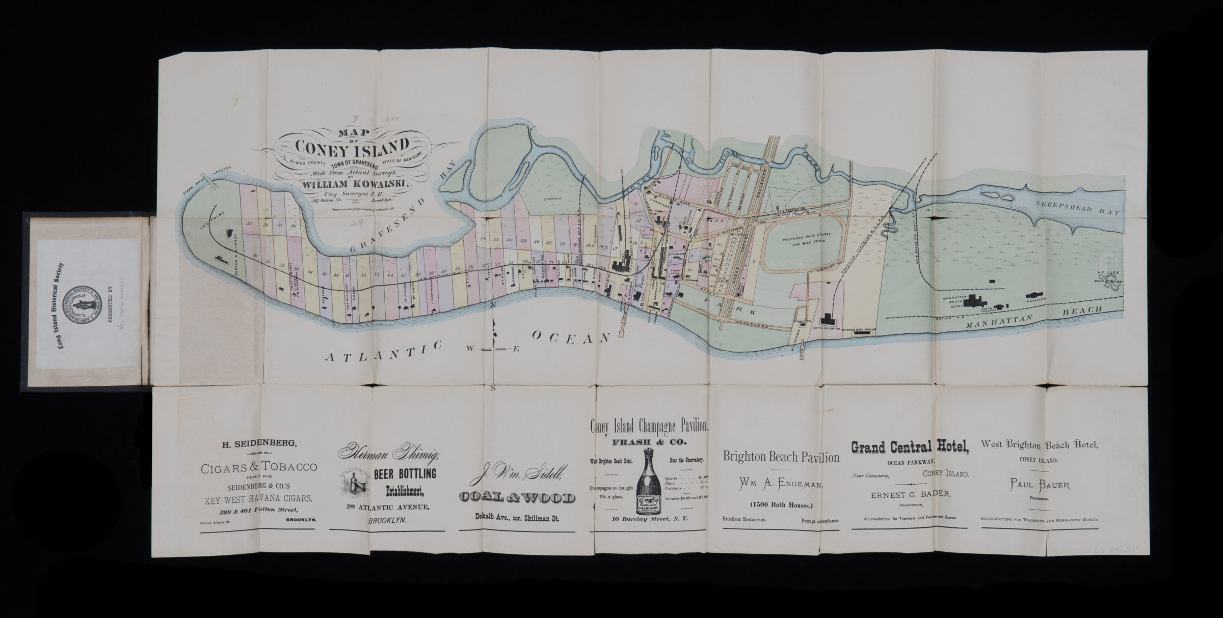
Map of Coney Island, town of Gravesend, Kings County, state of New York: made from actual surveys by William Kowalski, city surveyor 1879
Map No. B A-1879a.Fl;B A-1879a.Fl c.2
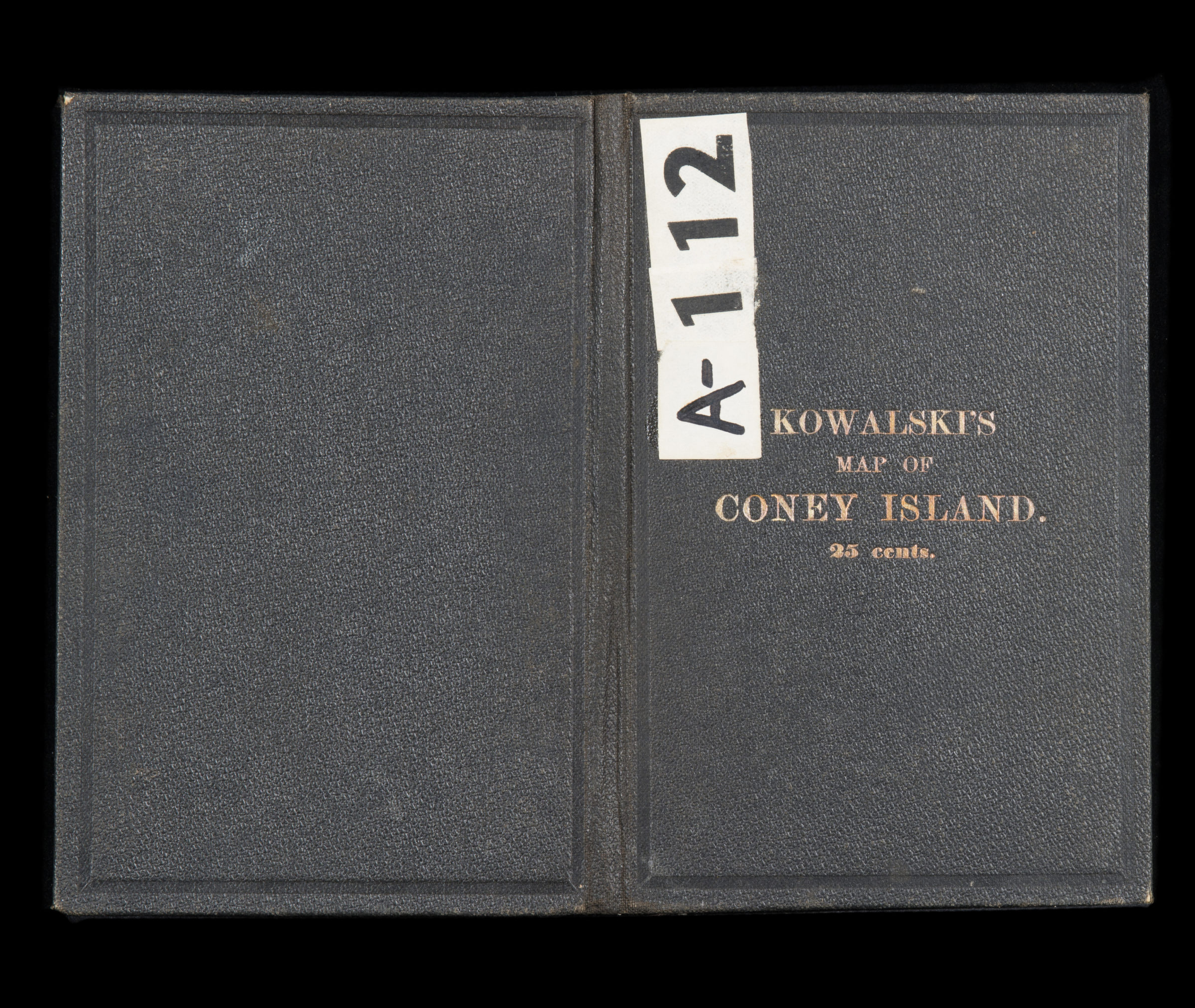
Shows Coney Island from westernmost point east to Manhattan Beach. Relief shown by hachures. Cover title appears in gilt on front of red map cover. Includes advertisements along bottom of sheet. “25 cents.” BHS has 2 copies: copy 1 missing cover copy 2 gift of Abram Mathias.
Map area shown
Genre
Bathymetric mapsRelation
Full catalog recordSize
42 × 81 cmDownload
Low Resolution Image
Creator
Kowalski, William B.,Publisher
Brooklyn Historical SocietyCitation
Map of Coney Island, town of Gravesend, Kings County, state of New York: made from actual surveys by William Kowalski, city surveyor; 1879, Map Collection, B A-1879a.Fl;B A-1879a.Fl c.2; Brooklyn Historical Society.Scale
Scale not givenLoading zoom image... 