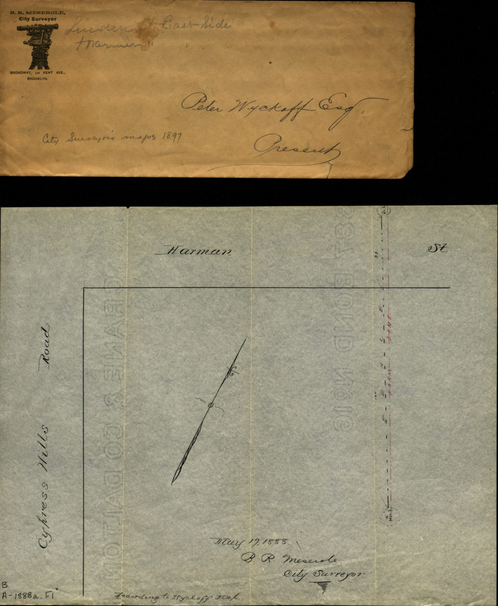
[Map of corner of Harmen St. and Cypress Hills Rd.] 1888
Map No. B A-1888a.Fl
Manuscript map showing a farm line and fence. Covers the corner of the block at Harman Street and Cypress Hills Road. Map is with an envelope from B.R. Meserole, City Surveyor. Handwritten on the envelope is “Peter Wyckoff Esq.Presents”, “Linden St. East Side” and “City Surveyor maps 1897.”
Map area shown
Genre
Manuscript mapsRelation
Full catalog recordSize
23 × 29 cmDownload
Low Resolution Image
Creator
Meserole, B.R.,Publisher
Brooklyn Historical SocietyCitation
[Map of corner of Harmen St. and Cypress Hills Rd.]; 1888, Map Collection, B A-1888a.Fl; Brooklyn Historical Society.Scale
Scale not givenLoading zoom image...